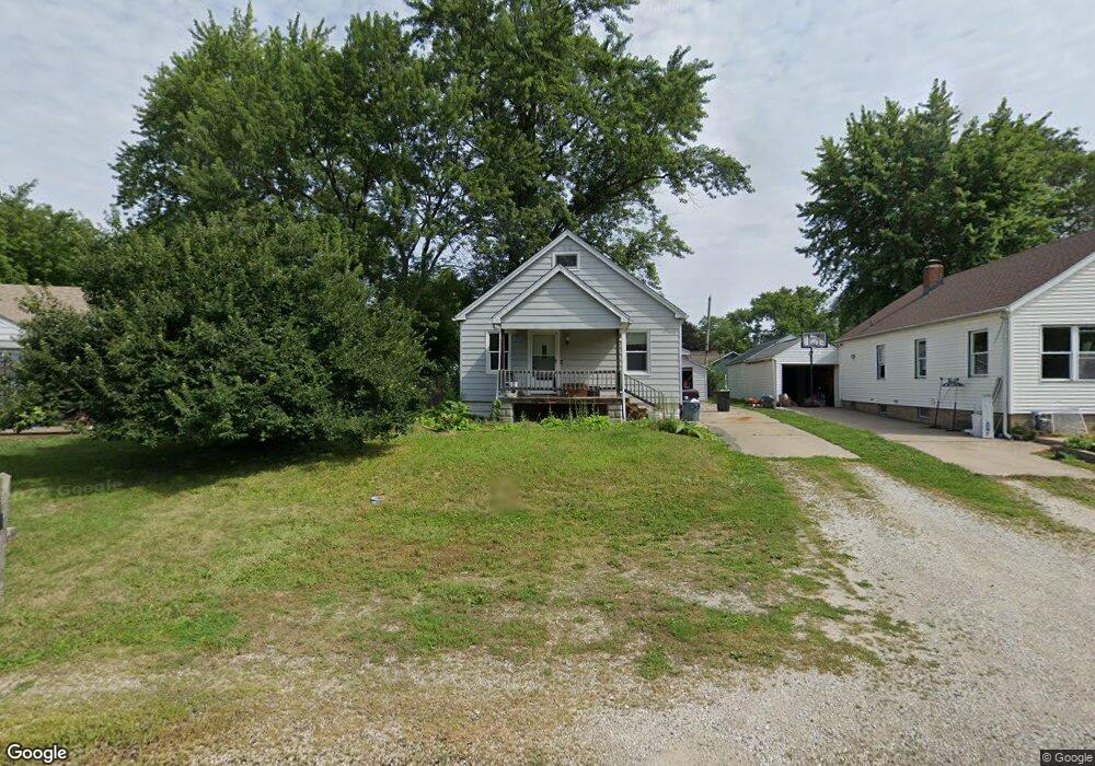
1929 W Hudson St Peoria, IL 61604
El Vista NeighborhoodEstimated Value: $87,000 - $104,000
3
Beds
2
Baths
1,236
Sq Ft
$78/Sq Ft
Est. Value
About This Home
This home is located at 1929 W Hudson St, Peoria, IL 61604 and is currently estimated at $96,724, approximately $78 per square foot. 1929 W Hudson St is a home located in Peoria County with nearby schools including Dr Maude A Sanders Primary School, Sterling Middle School, and Peoria High School.
Ownership History
Date
Name
Owned For
Owner Type
Purchase Details
Closed on
Oct 27, 2020
Sold by
Cooper Mr
Bought by
Harvey Tara Frances
Current Estimated Value
Purchase Details
Closed on
Oct 1, 2020
Sold by
Sheriff Of Peoria County
Bought by
Cooper Mr
Purchase Details
Closed on
Sep 23, 2020
Sold by
Sheriff Of Peoria County
Bought by
Cooper Mr
Purchase Details
Closed on
Apr 6, 2009
Bought by
Bell Derek
Create a Home Valuation Report for This Property
The Home Valuation Report is an in-depth analysis detailing your home's value as well as a comparison with similar homes in the area
Home Values in the Area
Average Home Value in this Area
Purchase History
| Date | Buyer | Sale Price | Title Company |
|---|---|---|---|
| Harvey Tara Frances | $44,210 | Codilis & Associates Pc | |
| Cooper Mr | -- | Codilis & Associates Pc | |
| Cooper Mr | -- | Codilis & Associates Pc | |
| Bell Derek | $71,500 | -- |
Source: Public Records
Tax History Compared to Growth
Tax History
| Year | Tax Paid | Tax Assessment Tax Assessment Total Assessment is a certain percentage of the fair market value that is determined by local assessors to be the total taxable value of land and additions on the property. | Land | Improvement |
|---|---|---|---|---|
| 2024 | $1,710 | $24,910 | $3,710 | $21,200 |
| 2023 | $1,585 | $22,850 | $3,400 | $19,450 |
| 2022 | $1,405 | $20,570 | $3,240 | $17,330 |
| 2021 | $1,351 | $19,590 | $3,090 | $16,500 |
| 2020 | $1,343 | $19,400 | $3,060 | $16,340 |
| 2019 | $1,374 | $19,790 | $3,120 | $16,670 |
| 2018 | $1,400 | $20,370 | $3,150 | $17,220 |
| 2017 | $1,405 | $20,570 | $3,180 | $17,390 |
| 2016 | $1,355 | $20,570 | $3,180 | $17,390 |
| 2015 | $1,375 | $20,170 | $3,120 | $17,050 |
| 2014 | $1,383 | $20,940 | $2,960 | $17,980 |
| 2013 | -- | $21,200 | $3,000 | $18,200 |
Source: Public Records
Map
Nearby Homes
- 2011 W Richwoods Blvd
- 2036 W Richwoods Blvd
- 2029 W Forrest Hill Ave
- 2221 W Tripp Ave
- 3720 N Saint Michael Ave
- 2318 W Albany Ave
- 2315 W Hudson St
- 3423 N El Vista Ave
- 2822 N Easton Place
- 2909 N Mission Rd
- 1721 W Gilbert Ave
- 3623 N Sterling Ave Unit b-17
- 2214 W Bainter Ln
- 2703 N Golf Dr
- 2214 W Arrowhead Ln
- 2705 W Millbrook Ct
- 3121 N Isabell Ave
- 3114 N Elmcroft Terrace
- 4011 N Sterling Ave
- 2525 N Victoria Ave
- 1927 W Hudson St
- 1931 W Hudson St
- 1923 W Hudson St
- 2000 W Albany Ave
- 1935 W Hudson St
- 1926 W Albany Ave
- 2010 W Albany Ave
- 2004 W Albany Ave
- 1919 W Hudson St
- 2012 W Albany Ave
- 1922 W Albany Ave
- 2016 W Albany Ave
- 1920 W Albany Ave
- 1924 W Hudson St
- 1926 W Hudson St
- 1917 W Hudson St
- 3140 N Finnell Ave
- 1920 W Hudson St
- 1916 W Albany Ave
- 1913 W Hudson St