1929 Yorktown N Norristown, PA 19403
West Norriton Township NeighborhoodEstimated Value: $316,718 - $332,000
2
Beds
2
Baths
1,280
Sq Ft
$255/Sq Ft
Est. Value
About This Home
This home is located at 1929 Yorktown N, Norristown, PA 19403 and is currently estimated at $326,680, approximately $255 per square foot. 1929 Yorktown N is a home located in Montgomery County with nearby schools including Charles Blockson Middle School, Paul V Fly Elementary School, and East Norriton Middle School.
Ownership History
Date
Name
Owned For
Owner Type
Purchase Details
Closed on
May 21, 2010
Sold by
Unger Thomas J and Unger Karen M
Bought by
Dejohn Salvatore J
Current Estimated Value
Home Financials for this Owner
Home Financials are based on the most recent Mortgage that was taken out on this home.
Original Mortgage
$160,800
Outstanding Balance
$108,147
Interest Rate
5.12%
Estimated Equity
$218,533
Create a Home Valuation Report for This Property
The Home Valuation Report is an in-depth analysis detailing your home's value as well as a comparison with similar homes in the area
Home Values in the Area
Average Home Value in this Area
Purchase History
| Date | Buyer | Sale Price | Title Company |
|---|---|---|---|
| Dejohn Salvatore J | $201,000 | None Available |
Source: Public Records
Mortgage History
| Date | Status | Borrower | Loan Amount |
|---|---|---|---|
| Open | Dejohn Salvatore J | $160,800 |
Source: Public Records
Tax History Compared to Growth
Tax History
| Year | Tax Paid | Tax Assessment Tax Assessment Total Assessment is a certain percentage of the fair market value that is determined by local assessors to be the total taxable value of land and additions on the property. | Land | Improvement |
|---|---|---|---|---|
| 2025 | $5,167 | $105,770 | $19,470 | $86,300 |
| 2024 | $5,167 | $105,770 | $19,470 | $86,300 |
| 2023 | $5,109 | $105,770 | $19,470 | $86,300 |
| 2022 | $5,076 | $105,770 | $19,470 | $86,300 |
| 2021 | $5,045 | $105,770 | $19,470 | $86,300 |
| 2020 | $4,895 | $105,770 | $19,470 | $86,300 |
| 2019 | $4,785 | $105,770 | $19,470 | $86,300 |
| 2018 | $3,905 | $105,770 | $19,470 | $86,300 |
| 2017 | $4,518 | $105,770 | $19,470 | $86,300 |
| 2016 | $4,476 | $105,770 | $19,470 | $86,300 |
| 2015 | $4,147 | $105,770 | $19,470 | $86,300 |
| 2014 | $4,147 | $105,770 | $19,470 | $86,300 |
Source: Public Records
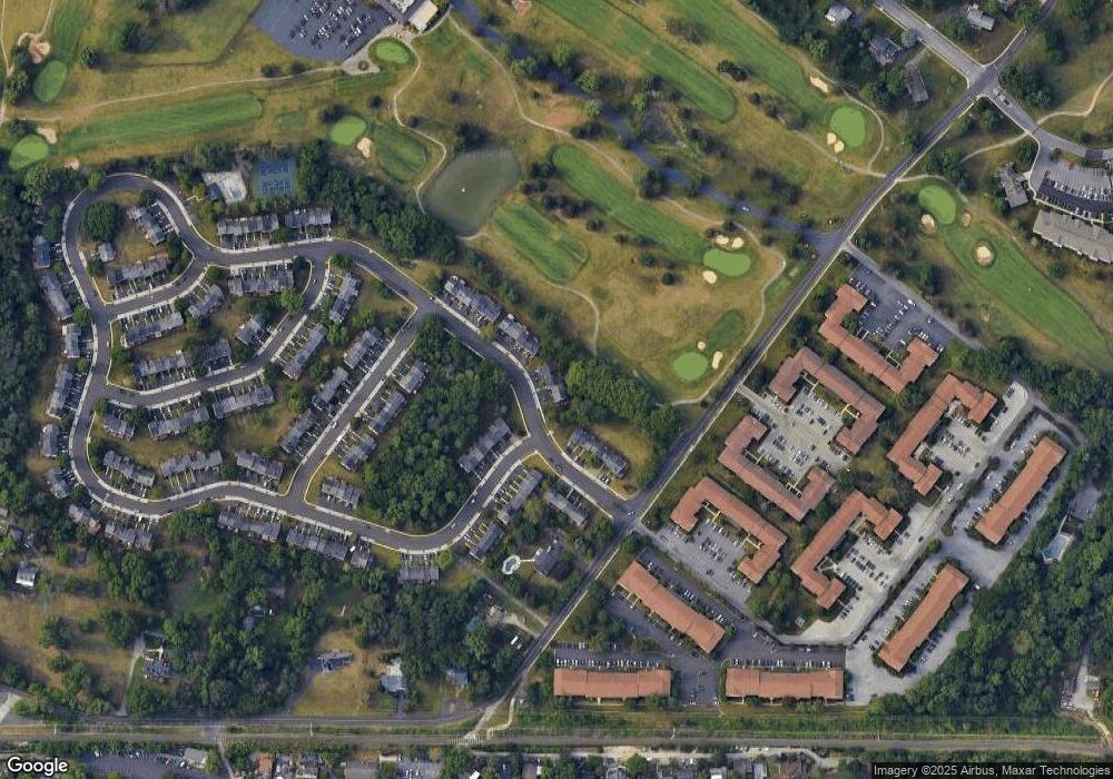
Map
Nearby Homes
- 1905 Yorktown N
- 1914 Yorktown S
- 526 Bassett Ln
- 143 Riversedge Dr Unit CONDO 143
- 2012 Yorktown S
- 2017 Yorktown S
- 176 Riversedge Dr
- 121 Woodstream Dr Unit CONDO 121
- 167 Woodstream Dr Unit CONDO 167
- 307 Brandon Rd
- 402 Brandon Rd
- 533 Brandon Rd
- 440 Rittenhouse Blvd
- 1924 Juniata Rd
- 548 Susan Dr
- 0 Roosevelt Blvd
- 365 Norris Hall Ln
- 2044 Mill Rd
- 1633 Williams Way
- 2504 Grant Ct
- 1931 Yorktown N
- 1933 Yorktown N
- 1935 Yorktown N
- 1937 Yorktown N
- 1917 Yorktown N
- 1939 Yorktown N
- 1941 Yorktown N
- 1915 Yorktown N
- 1901 Yorktown N
- 1913 Yorktown N
- 1945 Yorktown N
- 1903 Yorktown S
- 1903 Yorktown S
- 1909 Yorktown N
- 1905 Yorktown S
- 1905 Yorktown S
- 1947 Yorktown N
- 1902 Yorktown S
- 1907 Yorktown N
- 1907 Yorktown S