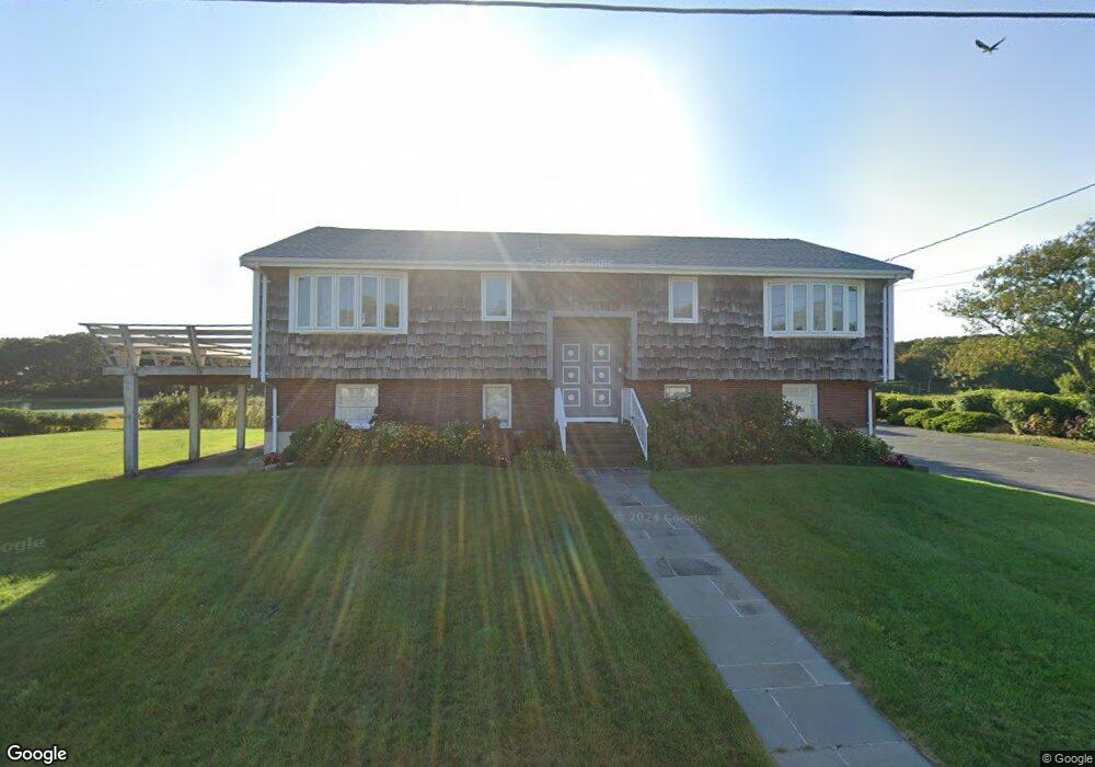
193 7th Ave Barnstable, MA 2601
Estimated Value: $1,362,000 - $1,918,000
4
Beds
3
Baths
1,488
Sq Ft
$1,102/Sq Ft
Est. Value
About This Home
This home is located at 193 7th Ave, Barnstable, MA 2601 and is currently estimated at $1,640,000, approximately $1,102 per square foot. 193 7th Ave is a home located in Barnstable County with nearby schools including Hyannis West Elementary School, Barnstable United Elementary School, and Barnstable Intermediate School.
Create a Home Valuation Report for This Property
The Home Valuation Report is an in-depth analysis detailing your home's value as well as a comparison with similar homes in the area
Home Values in the Area
Average Home Value in this Area
Tax History
| Year | Tax Paid | Tax Assessment Tax Assessment Total Assessment is a certain percentage of the fair market value that is determined by local assessors to be the total taxable value of land and additions on the property. | Land | Improvement |
|---|---|---|---|---|
| 2025 | $12,688 | $1,368,700 | $986,700 | $382,000 |
| 2024 | $12,437 | $1,374,200 | $986,700 | $387,500 |
| 2023 | $11,770 | $1,229,900 | $897,100 | $332,800 |
| 2022 | $8,882 | $767,700 | $486,200 | $281,500 |
| 2021 | $8,532 | $716,400 | $470,900 | $245,500 |
| 2020 | $8,722 | $707,400 | $471,800 | $235,600 |
| 2019 | $8,451 | $671,800 | $471,800 | $200,000 |
| 2018 | $8,852 | $719,700 | $550,300 | $169,400 |
| 2017 | $8,566 | $714,400 | $550,300 | $164,100 |
| 2016 | $8,674 | $739,500 | $554,400 | $185,100 |
| 2015 | $8,075 | $697,900 | $536,400 | $161,500 |
Source: Public Records
Map
Nearby Homes
- 140 6th Ave
- 260 Tobey Way
- 780 Craigville Beach Rd Unit D-2
- 780 Craigville Beach Rd Unit 1
- 780 Craigville Beach Rd
- 20 Sunset Terrace
- 36 Grouse Ln
- 15 Glen Rd
- 33 Edgewood Rd
- 46 Washington Ave
- 498 Elliott Rd
- 83 Peacock Dr
- 14 Marston Ave
- 172 Irving Ave
- 443 Elliott Rd
- 18 Mount Vernon Ave
- 1060 Craigville Beach Rd
- 50 Redwood Ln
- 290 Riverview Ln
- 135 W Main St Unit 7
Your Personal Tour Guide
Ask me questions while you tour the home.