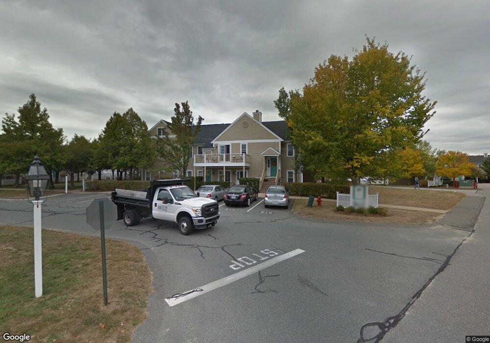
193 Allerton Commons Ln Braintree, MA 02184
South Braintree NeighborhoodEstimated Value: $458,000 - $545,000
2
Beds
2
Baths
1,109
Sq Ft
$447/Sq Ft
Est. Value
About This Home
This home is located at 193 Allerton Commons Ln, Braintree, MA 02184 and is currently estimated at $495,860, approximately $447 per square foot. 193 Allerton Commons Ln is a home located in Norfolk County with nearby schools including Braintree High School, First Baptist Christian School, and Boston Higashi School.
Ownership History
Date
Name
Owned For
Owner Type
Purchase Details
Closed on
Apr 17, 2018
Sold by
Kelly Joseph W and Kelly William T
Bought by
Kelly Joseph W
Current Estimated Value
Purchase Details
Closed on
Oct 23, 1998
Sold by
Melucci Robert N
Bought by
Kelly Joseph W and Kelly William T
Home Financials for this Owner
Home Financials are based on the most recent Mortgage that was taken out on this home.
Original Mortgage
$116,000
Interest Rate
6.74%
Mortgage Type
Purchase Money Mortgage
Purchase Details
Closed on
Aug 22, 1994
Sold by
Devon Wood Lp
Bought by
Melucci Robert N
Home Financials for this Owner
Home Financials are based on the most recent Mortgage that was taken out on this home.
Original Mortgage
$111,000
Interest Rate
8.61%
Mortgage Type
Purchase Money Mortgage
Create a Home Valuation Report for This Property
The Home Valuation Report is an in-depth analysis detailing your home's value as well as a comparison with similar homes in the area
Home Values in the Area
Average Home Value in this Area
Purchase History
| Date | Buyer | Sale Price | Title Company |
|---|---|---|---|
| Kelly Joseph W | -- | -- | |
| Kelly Joseph W | $145,000 | -- | |
| Melucci Robert N | $117,100 | -- |
Source: Public Records
Mortgage History
| Date | Status | Borrower | Loan Amount |
|---|---|---|---|
| Previous Owner | Melucci Robert N | $116,000 | |
| Previous Owner | Melucci Robert N | $111,000 |
Source: Public Records
Tax History Compared to Growth
Tax History
| Year | Tax Paid | Tax Assessment Tax Assessment Total Assessment is a certain percentage of the fair market value that is determined by local assessors to be the total taxable value of land and additions on the property. | Land | Improvement |
|---|---|---|---|---|
| 2025 | $4,531 | $454,000 | $0 | $454,000 |
| 2024 | $4,042 | $426,400 | $0 | $426,400 |
| 2023 | $3,597 | $368,500 | $0 | $368,500 |
| 2022 | $3,412 | $342,900 | $0 | $342,900 |
| 2021 | $3,412 | $342,900 | $0 | $342,900 |
| 2020 | $3,241 | $328,700 | $0 | $328,700 |
| 2019 | $3,180 | $315,200 | $0 | $315,200 |
| 2018 | $3,063 | $290,600 | $0 | $290,600 |
| 2017 | $3,013 | $280,500 | $0 | $280,500 |
| 2016 | $2,858 | $260,300 | $0 | $260,300 |
| 2015 | $2,781 | $251,200 | $0 | $251,200 |
| 2014 | $2,712 | $237,500 | $0 | $237,500 |
Source: Public Records
Map
Nearby Homes
- 134 Tyson Commons Ln
- 30 Bradford Commons Ln
- 68 Massapoag St Unit 7
- 308 Forest St
- 16 Jay Rd
- 24 Fisher Rd
- 211 Randolph St
- 30 Thetford Ave
- 441 Grove St
- 1501 Liberty St
- 193 Randolph St
- 432 Grove St
- 92 Mercury St
- 972 Liberty St
- 262 West St
- 255 West St
- 117 Amherst Rd
- 256 Evergreen Ave
- 115 Richard Rd
- 22 Medallion Rd
- 202 Allerton Commons Ln
- 201 Allerton Commons Ln
- 204 Allerton Commons Ln
- 203 Allerton Commons Ln
- 200 Allerton Commons Ln
- 199 Allerton Commons Ln
- 198 Allerton Commons Ln
- 197 Allerton Commons Ln
- 196 Allerton Commons Ln
- 195 Allerton Commons Ln
- 194 Allerton Commons Ln
- 191 Allerton Commons Ln
- 190 Allerton Commons Ln
- 189 Allerton Commons Ln
- 187 Allerton Commons Ln
- 188 Allerton Commons Ln
- 186 Allerton Commons Ln
- 185 Allerton Commons Ln
- 181 Allerton Commons Ln
- 182 Allerton Commons Ln