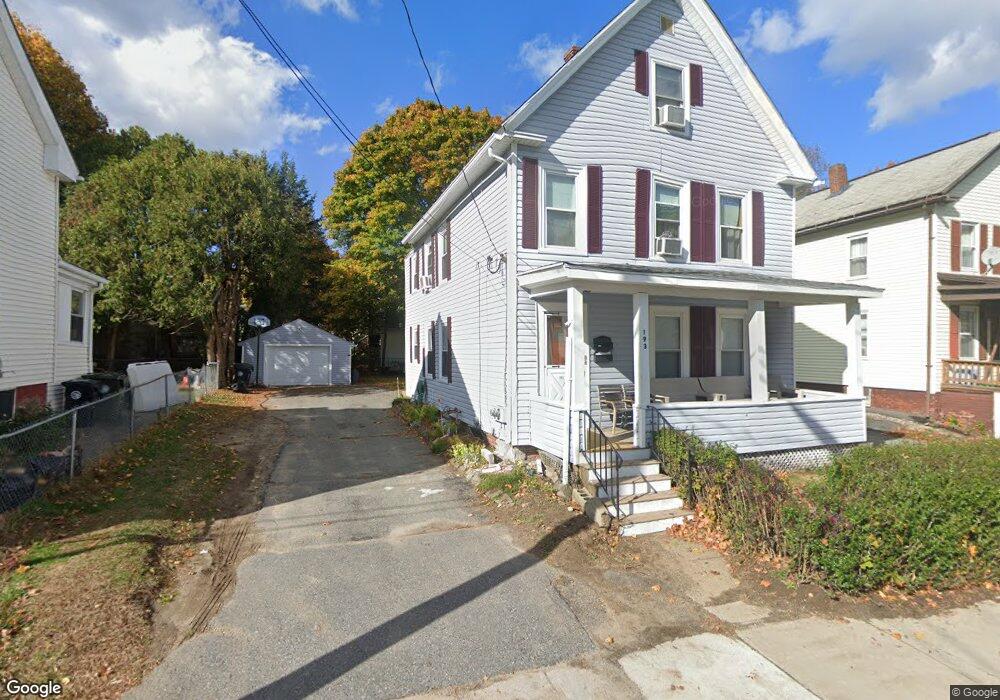
193 Chestnut St Unit 1 Marlborough, MA 01752
French Hill NeighborhoodEstimated Value: $589,980 - $683,000
2
Beds
1
Bath
850
Sq Ft
$766/Sq Ft
Est. Value
About This Home
This home is located at 193 Chestnut St Unit 1, Marlborough, MA 01752 and is currently estimated at $650,745, approximately $765 per square foot. 193 Chestnut St Unit 1 is a home located in Middlesex County with nearby schools including Marlborough High School, Advanced Math & Science Academy, and New Covenant Christian School.
Ownership History
Date
Name
Owned For
Owner Type
Purchase Details
Closed on
Aug 26, 2021
Sold by
Lincoln Debbie A
Bought by
Martins Andre
Current Estimated Value
Home Financials for this Owner
Home Financials are based on the most recent Mortgage that was taken out on this home.
Original Mortgage
$444,749
Outstanding Balance
$404,688
Interest Rate
2.8%
Mortgage Type
FHA
Estimated Equity
$246,057
Purchase Details
Closed on
Feb 13, 2004
Sold by
Lincoln John B and Lincoln Walter E
Bought by
Lincoln Debbie A and Lincoln John B
Create a Home Valuation Report for This Property
The Home Valuation Report is an in-depth analysis detailing your home's value as well as a comparison with similar homes in the area
Home Values in the Area
Average Home Value in this Area
Purchase History
| Date | Buyer | Sale Price | Title Company |
|---|---|---|---|
| Martins Andre | $475,000 | None Available | |
| Lincoln Debbie A | -- | -- |
Source: Public Records
Mortgage History
| Date | Status | Borrower | Loan Amount |
|---|---|---|---|
| Open | Martins Andre | $444,749 |
Source: Public Records
Tax History Compared to Growth
Tax History
| Year | Tax Paid | Tax Assessment Tax Assessment Total Assessment is a certain percentage of the fair market value that is determined by local assessors to be the total taxable value of land and additions on the property. | Land | Improvement |
|---|---|---|---|---|
| 2025 | $5,410 | $548,700 | $165,600 | $383,100 |
| 2024 | $5,116 | $499,600 | $150,500 | $349,100 |
| 2023 | $5,284 | $457,900 | $118,200 | $339,700 |
| 2022 | $5,091 | $388,000 | $112,500 | $275,500 |
| 2021 | $4,134 | $299,600 | $91,700 | $207,900 |
| 2020 | $3,996 | $281,800 | $89,300 | $192,500 |
| 2019 | $3,803 | $270,300 | $87,600 | $182,700 |
| 2018 | $3,491 | $238,600 | $77,000 | $161,600 |
| 2017 | $3,133 | $204,500 | $76,900 | $127,600 |
| 2016 | $3,060 | $199,500 | $76,900 | $122,600 |
| 2015 | $3,029 | $192,200 | $81,100 | $111,100 |
Source: Public Records
Map
Nearby Homes
- 156 Chestnut St
- 76 Broad St
- 30A Winter Ave
- 110 Pleasant St Unit 401
- 30 Broad St Unit 104
- 72 Chestnut St
- 115 W Main St
- 273 W Main St Unit B12
- 52 Norwood St
- 29 Elm St
- 32 Kirby St
- 53 Mechanic St
- 91 Maplewood Ave
- 32 Water St
- 287 Elm St
- 53 Russell St
- 102 Liberty St
- 27 Jefferson St
- 272 Lincoln St Unit 301
- 272 Lincoln St Unit 302
- 193 Chestnut St
- 189 Chestnut St
- 189 Chestnut St
- 189 Chestnut St Unit 3
- 197 Chestnut St
- 181 Chestnut St
- 198 Chestnut St
- 198 Chestnut St Unit 4
- 198 Chestnut St Unit 2
- 38 Belmont St
- 203 Chestnut St
- 194 Chestnut St
- 194 Chestnut St
- 194 Chestnut St Unit 3
- 179 Chestnut St
- 149 Broad St
- 190 Chestnut St Unit 2
- 190 Chestnut St Unit 3
- 190 Chestnut St
- 135 Broad St