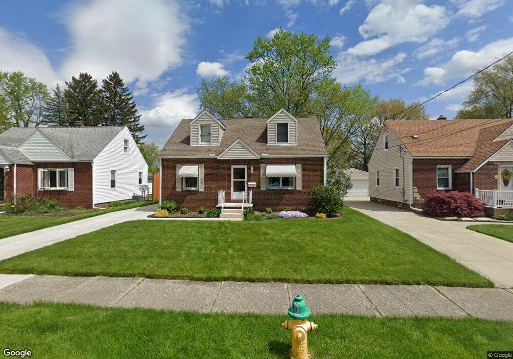
193 Davenport Ave Akron, OH 44312
Ellet NeighborhoodEstimated Value: $180,072 - $187,000
3
Beds
2
Baths
1,008
Sq Ft
$182/Sq Ft
Est. Value
About This Home
This home is located at 193 Davenport Ave, Akron, OH 44312 and is currently estimated at $183,768, approximately $182 per square foot. 193 Davenport Ave is a home located in Summit County with nearby schools including Ellet High School, Summit Academy Akron Elementary School, and Hatton Community Learning Center.
Ownership History
Date
Name
Owned For
Owner Type
Purchase Details
Closed on
Jun 12, 2003
Sold by
May Robin T
Bought by
Scears Robert W and Scears Jennifer N
Current Estimated Value
Home Financials for this Owner
Home Financials are based on the most recent Mortgage that was taken out on this home.
Original Mortgage
$87,200
Interest Rate
5.78%
Mortgage Type
Purchase Money Mortgage
Purchase Details
Closed on
Aug 24, 1999
Sold by
May Gregory R
Bought by
May Robin T
Create a Home Valuation Report for This Property
The Home Valuation Report is an in-depth analysis detailing your home's value as well as a comparison with similar homes in the area
Home Values in the Area
Average Home Value in this Area
Purchase History
| Date | Buyer | Sale Price | Title Company |
|---|---|---|---|
| Scears Robert W | $116,315 | Multiple | |
| May Robin T | -- | -- |
Source: Public Records
Mortgage History
| Date | Status | Borrower | Loan Amount |
|---|---|---|---|
| Closed | Scears Robert W | $87,200 | |
| Closed | Scears Robert W | $23,250 |
Source: Public Records
Tax History Compared to Growth
Tax History
| Year | Tax Paid | Tax Assessment Tax Assessment Total Assessment is a certain percentage of the fair market value that is determined by local assessors to be the total taxable value of land and additions on the property. | Land | Improvement |
|---|---|---|---|---|
| 2025 | $2,716 | $51,237 | $10,010 | $41,227 |
| 2024 | $2,716 | $51,237 | $10,010 | $41,227 |
| 2023 | $2,716 | $51,237 | $10,010 | $41,227 |
| 2022 | $2,472 | $36,516 | $7,000 | $29,516 |
| 2021 | $2,474 | $36,516 | $7,000 | $29,516 |
| 2020 | $2,437 | $36,520 | $7,000 | $29,520 |
| 2019 | $2,453 | $33,430 | $6,170 | $27,260 |
| 2018 | $2,489 | $33,430 | $6,170 | $27,260 |
| 2017 | $2,212 | $33,430 | $6,170 | $27,260 |
| 2016 | $2,213 | $28,950 | $6,170 | $22,780 |
| 2015 | $2,212 | $28,950 | $6,170 | $22,780 |
| 2014 | $2,194 | $28,950 | $6,170 | $22,780 |
| 2013 | $2,162 | $30,110 | $6,170 | $23,940 |
Source: Public Records
Map
Nearby Homes
- 179 Davenport Ave
- 2863 Burnside St
- 218 Canton Rd
- 256 High Grove Blvd
- 102 Canton Rd
- 6 Kreiner Ave
- 5 Kreiner Ave
- 423 Stetler Ave
- 412 Stevenson Ave
- 440 Wirth Ave
- 117 Kreiner Ave
- 307 Pauline Ave
- 2382 Mogadore Rd
- 0 Kreiner Ave
- 172 Emmons Ave
- 490 Stevenson Ave
- 2948 Trenton Rd
- 2528 Ogden Ave
- 379 Stull Ave
- 2258 Mogadore Rd
- 199 Davenport Ave
- 189 Davenport Ave
- 183 Davenport Ave
- 203 Davenport Ave
- 209 Davenport Ave
- 192 Davenport Ave
- 173 Davenport Ave
- 213 Davenport Ave
- 184 Davenport Ave
- 210 Davenport Ave
- 180 Davenport Ave
- 169 Davenport Ave
- 219 Davenport Ave
- 198 Davenport Cir
- 172 Davenport Ave
- 163 Davenport Ave
- 223 Davenport Ave
- 218 Davenport Ave
- 206 Davenport Cir
- 224 Davenport Ave