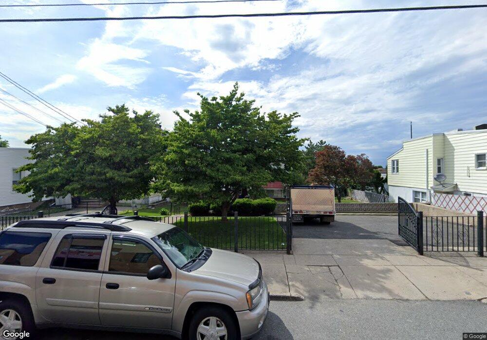
193 Macarthur Ave Garfield, NJ 07026
Estimated Value: $575,909 - $781,000
--
Bed
--
Bath
1,555
Sq Ft
$443/Sq Ft
Est. Value
About This Home
This home is located at 193 Macarthur Ave, Garfield, NJ 07026 and is currently estimated at $689,227, approximately $443 per square foot. 193 Macarthur Ave is a home located in Bergen County with nearby schools including Garfield High School and Bergen Arts and Sciences Charter School.
Ownership History
Date
Name
Owned For
Owner Type
Purchase Details
Closed on
Dec 3, 1999
Sold by
Ricciardi Ronald J and Ricciardi Ralph N
Bought by
Potente Giancarlo and Potente Antonietta
Current Estimated Value
Home Financials for this Owner
Home Financials are based on the most recent Mortgage that was taken out on this home.
Original Mortgage
$142,000
Outstanding Balance
$44,285
Interest Rate
7.81%
Estimated Equity
$644,942
Purchase Details
Closed on
Sep 4, 1998
Sold by
Ricciardi Ronald J and Ricciardi Ralph N
Bought by
Ricciardi Ronald J and Ricciardi Ralph N
Create a Home Valuation Report for This Property
The Home Valuation Report is an in-depth analysis detailing your home's value as well as a comparison with similar homes in the area
Home Values in the Area
Average Home Value in this Area
Purchase History
| Date | Buyer | Sale Price | Title Company |
|---|---|---|---|
| Potente Giancarlo | $192,000 | -- | |
| Ricciardi Ronald J | -- | -- |
Source: Public Records
Mortgage History
| Date | Status | Borrower | Loan Amount |
|---|---|---|---|
| Open | Potente Giancarlo | $142,000 |
Source: Public Records
Tax History Compared to Growth
Tax History
| Year | Tax Paid | Tax Assessment Tax Assessment Total Assessment is a certain percentage of the fair market value that is determined by local assessors to be the total taxable value of land and additions on the property. | Land | Improvement |
|---|---|---|---|---|
| 2025 | $9,677 | $290,000 | $141,300 | $148,700 |
| 2024 | $9,515 | $290,000 | $141,300 | $148,700 |
| 2023 | $9,045 | $290,000 | $141,300 | $148,700 |
| 2022 | $9,045 | $290,000 | $141,300 | $148,700 |
| 2021 | $8,781 | $290,000 | $141,300 | $148,700 |
| 2020 | $8,590 | $290,000 | $141,300 | $148,700 |
| 2019 | $8,427 | $290,000 | $141,300 | $148,700 |
| 2018 | $8,239 | $290,000 | $141,300 | $148,700 |
| 2017 | $8,094 | $290,000 | $141,300 | $148,700 |
| 2016 | $7,853 | $290,000 | $141,300 | $148,700 |
| 2015 | $7,659 | $290,000 | $141,300 | $148,700 |
| 2014 | $7,456 | $290,000 | $141,300 | $148,700 |
Source: Public Records
Map
Nearby Homes
- 108 Frederick St
- 56 Malcolm Ave
- 38 Malcolm Ave
- 149 Harrison Ave
- 2 Morrell Place
- 103 Westminster Place
- 115 Macarthur Ave
- 90 Westminster Place
- 82 Westervelt Place
- 159 Lincoln Place
- 267 Passaic St
- 117 Elizabeth St
- 233 Midland Ave Unit 109
- 109 Morrell Place
- 5 Charles St
- 66 Harrison Ave
- 363 Macarthur Ave
- 280 Malcolm Ave
- 214 Palisade Ave
- 88 Midland Ave
- 191 Macarthur Ave
- 191 Macarthur Ave Unit 2
- 199 Macarthur Ave
- 147 Macarthur Ave
- 201 Macarthur Ave
- 189 Macarthur Ave
- 108 Malcolm Ave
- 203 Macarthur Ave
- 102 Malcolm Ave
- 112 Malcolm Ave
- 205 Macarthur Ave
- 187 Macarthur Ave
- 100 Malcolm Ave
- 129 Macarthur Ave
- 114 Malcolm Ave
- 116 Malcolm Ave
- 209 Macarthur Ave Unit 2
- 209 Macarthur Ave
- 94 Malcolm Ave
- 94 Malcolm Ave Unit 1