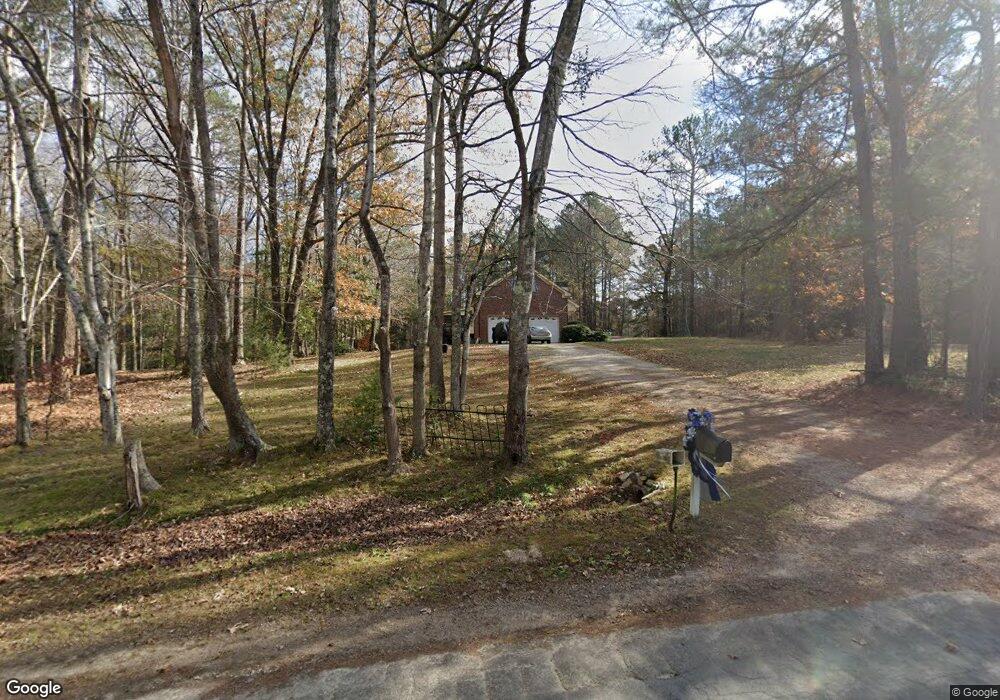
193 Mangums Dr Wendell, NC 27591
Estimated Value: $292,000 - $796,031
Studio
3
Baths
2,182
Sq Ft
$251/Sq Ft
Est. Value
About This Home
This home is located at 193 Mangums Dr, Wendell, NC 27591 and is currently estimated at $548,008, approximately $251 per square foot. 193 Mangums Dr is a home located in Wake County with nearby schools including Lockhart Elementary School, Neuse River Middle School, and Rolesville High School.
Ownership History
Date
Name
Owned For
Owner Type
Purchase Details
Closed on
Dec 7, 1998
Sold by
Satterwhite Construction Inc
Bought by
Wilkerson James Edward
Current Estimated Value
Home Financials for this Owner
Home Financials are based on the most recent Mortgage that was taken out on this home.
Original Mortgage
$50,000
Interest Rate
6.77%
Purchase Details
Closed on
Feb 6, 1998
Sold by
Wilkerson James Edward
Bought by
Satterwhite Construction Inc
Create a Home Valuation Report for This Property
The Home Valuation Report is an in-depth analysis detailing your home's value as well as a comparison with similar homes in the area
Home Values in the Area
Average Home Value in this Area
Purchase History
| Date | Buyer | Sale Price | Title Company |
|---|---|---|---|
| Wilkerson James Edward | -- | -- | |
| Satterwhite Construction Inc | -- | -- |
Source: Public Records
Mortgage History
| Date | Status | Borrower | Loan Amount |
|---|---|---|---|
| Closed | Wilkerson James Edward | $50,000 | |
| Closed | Satterwhite Construction Inc | $0 | |
| Closed | Satterwhite Construction Inc | $20,000 |
Source: Public Records
Tax History
| Year | Tax Paid | Tax Assessment Tax Assessment Total Assessment is a certain percentage of the fair market value that is determined by local assessors to be the total taxable value of land and additions on the property. | Land | Improvement |
|---|---|---|---|---|
| 2025 | $4,405 | $685,638 | $286,338 | $399,300 |
| 2024 | $4,278 | $685,638 | $286,338 | $399,300 |
| 2023 | $3,566 | $454,728 | $175,050 | $279,678 |
| 2022 | $3,304 | $454,728 | $175,050 | $279,678 |
| 2021 | $3,215 | $454,728 | $175,050 | $279,678 |
| 2020 | $3,162 | $454,728 | $175,050 | $279,678 |
| 2019 | $3,007 | $365,688 | $138,040 | $227,648 |
| 2018 | $2,764 | $365,688 | $138,040 | $227,648 |
| 2017 | $2,620 | $365,688 | $138,040 | $227,648 |
| 2016 | $2,567 | $365,688 | $138,040 | $227,648 |
| 2015 | $2,867 | $409,993 | $185,050 | $224,943 |
| 2014 | $2,718 | $409,993 | $185,050 | $224,943 |
Source: Public Records
Map
Nearby Homes
- 6808 Woodtrace Dr
- 00 Old Bunch Rd Unit LotWP003
- 00 Old Bunch Rd Unit LotWP002
- 00 Old Bunch Rd Unit LotWP001
- 7412/7416 Old Bunch Rd
- 0 Lizard Lick Rd
- 2229 Lizard Lick Rd
- 105 Winchester Dr
- 7408 Lone Silo Ln
- 7412 Lone Silo Ln
- 7409 Lone Silo Ln
- 7413 Lone Silo Ln
- 121 Winchester Dr
- 7424 Lone Silo Ln
- 2720 Nc 97 Hwy
- 12815 Cricket Cove Ct
- 1708 Colston Crossing
- 1127 Edgemont Rd
- 2804 Jack Mitchell Rd
- 1425 Raybon Dr
Your Personal Tour Guide
Ask me questions while you tour the home.