193 Middlesex Ave Thorofare, NJ 08086
Estimated Value: $359,878 - $416,000
About This Home
This home is located at 193 Middlesex Ave, Thorofare, NJ 08086 and is currently estimated at $393,470, approximately $204 per square foot. 193 Middlesex Ave is a home located in Gloucester County with nearby schools including Red Bank Elementary School, Oakview Elementary School, and Green-Fields Elementary School.
Ownership History
We collect this data history from publicly available records. To have your information removed, we recommend requesting removal directly through your county’s website.
Purchase Details
Home Financials for this Owner
Home Financials are based on the most recent Mortgage that was taken out on this home.Home Values in the Area
Average Home Value in this Area
Purchase History
We collect this data history from publicly available records. To have your information removed, we recommend requesting removal directly through your county’s website.
| Date | Buyer | Sale Price | Title Company |
|---|---|---|---|
| $121,000 | -- |
Mortgage History
We collect this data history from publicly available records. To have your information removed, we recommend requesting removal directly through your county’s website.
| Date | Status | Borrower | Loan Amount |
|---|---|---|---|
| Open | $820 |
Tax History
We collect this data history from publicly available records. To have your information removed, we recommend requesting removal directly through your county’s website.
| Year | Tax Paid | Tax Assessment Tax Assessment Total Assessment is a certain percentage of the fair market value that is determined by local assessors to be the total taxable value of land and additions on the property. | Land | Improvement |
|---|---|---|---|---|
| 2025 | $6,687 | $191,500 | $55,600 | $135,900 |
| 2024 | $6,601 | $191,500 | $55,600 | $135,900 |
| 2023 | $6,601 | $191,500 | $55,600 | $135,900 |
| 2022 | $6,570 | $191,500 | $55,600 | $135,900 |
| 2021 | $6,547 | $191,500 | $55,600 | $135,900 |
| 2020 | $6,532 | $191,500 | $55,600 | $135,900 |
| 2019 | $6,350 | $191,500 | $55,600 | $135,900 |
| 2018 | $6,178 | $191,500 | $55,600 | $135,900 |
| 2017 | $6,034 | $191,500 | $55,600 | $135,900 |
| 2016 | $5,866 | $191,500 | $55,600 | $135,900 |
| 2015 | $5,588 | $191,500 | $55,600 | $135,900 |
| 2014 | $5,310 | $191,500 | $55,600 | $135,900 |
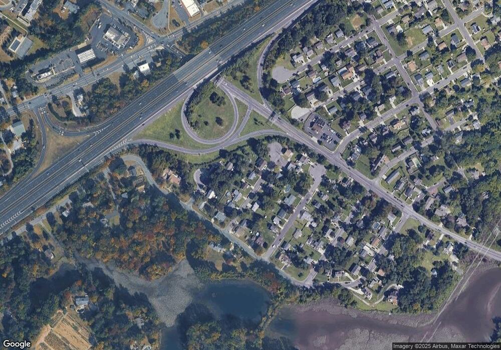
Map
- 197 Bergen Ave
- 55 Riverview Ave
- 206 Douglas Ct Unit 206
- 439 Crown Point Rd
- 66 Pelican Place
- 105 N Warren St
- 1762 Crown Point Rd Unit 2310 B
- 88 Grove St
- 6 Phoebe Terrace
- 112 Blue Heron Dr
- 531 Prince St
- 211 S Columbia St
- 419 High St
- 932 Locksley Ln
- 229 Night Hawk Cir
- 791 Carter Hill Dr
- 246 Briar Hill Ln
- 1085 Edwin St
- 83 Lynn Dr
- 317 Queen St
- 191 Middlesex Ave
- 195 Middlesex Ave
- 192 Monmouth Ave
- 192 Monmouth Ave
- 194 Middlesex Ave
- 189 Middlesex Ave
- 196 Middlesex Ave
- 198 Middlesex Ave
- 187 Middlesex Ave
- 198 Middlesex Ave
- 188 Monmouth Ave
- 193 Roosevelt Blvd
- 190 Middlesex Ave
- 191 Roosevelt Blvd
- 195 Roosevelt Ct
- 195 Roosevelt Blvd
- 197 Roosevelt Ct
- 189 Roosevelt Blvd
- 197 Roosevelt Blvd
- 188 Middlesex Ave
Ask me questions while you tour the home.