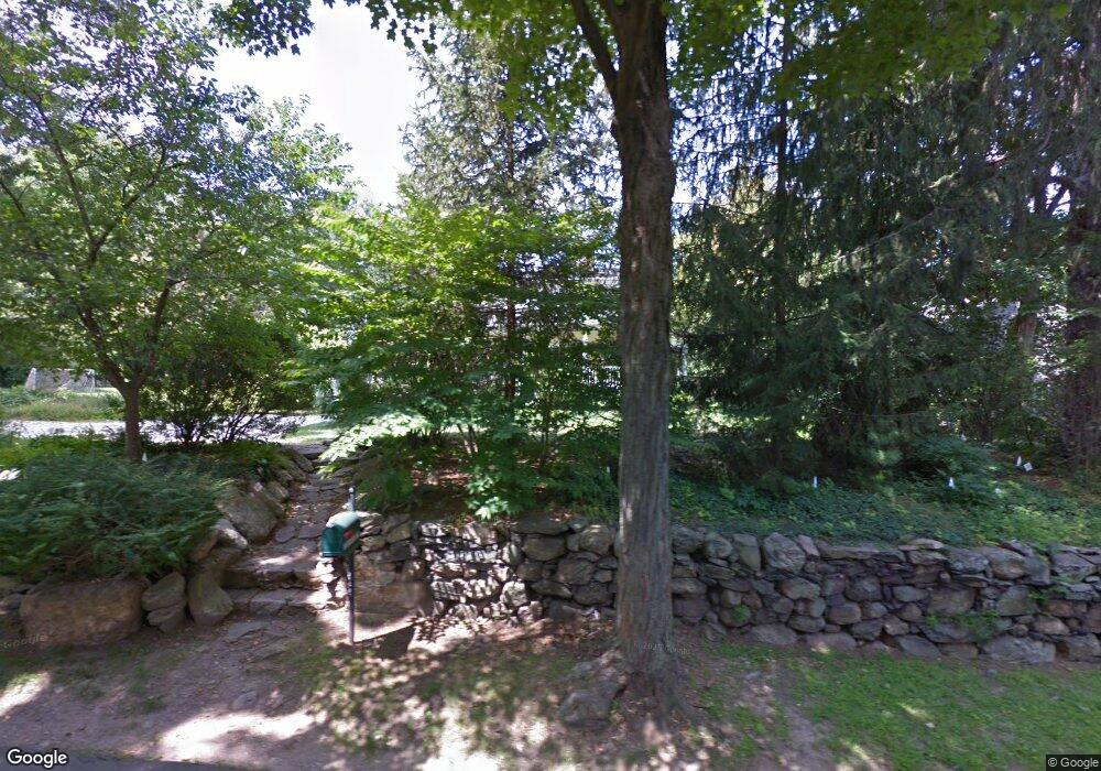
193 Middlesex Rd Darien, CT 06820
Estimated Value: $1,827,000 - $3,277,000
4
Beds
4
Baths
3,782
Sq Ft
$685/Sq Ft
Est. Value
About This Home
This home is located at 193 Middlesex Rd, Darien, CT 06820 and is currently estimated at $2,592,337, approximately $685 per square foot. 193 Middlesex Rd is a home located in Fairfield County with nearby schools including Royle Elementary School, Middlesex Middle School, and Darien High School.
Ownership History
Date
Name
Owned For
Owner Type
Purchase Details
Closed on
Sep 30, 2005
Sold by
Pegler William H and Pegler Ryann B
Bought by
Sweeny Michael B and Oates-Sweeny Katherine M
Current Estimated Value
Purchase Details
Closed on
Jan 30, 2002
Sold by
Kirk-Mahoney Francis and Kirk-Mahoney Natoli-Mahoney C
Bought by
Pegler William H and Pegler Ryann B
Purchase Details
Closed on
Jul 9, 1991
Sold by
Benzie Susan
Bought by
Mahoney Francis and Mahoney Catherine
Create a Home Valuation Report for This Property
The Home Valuation Report is an in-depth analysis detailing your home's value as well as a comparison with similar homes in the area
Home Values in the Area
Average Home Value in this Area
Purchase History
| Date | Buyer | Sale Price | Title Company |
|---|---|---|---|
| Sweeny Michael B | $1,497,541 | -- | |
| Pegler William H | $917,500 | -- | |
| Mahoney Francis | $461,000 | -- |
Source: Public Records
Mortgage History
| Date | Status | Borrower | Loan Amount |
|---|---|---|---|
| Open | Mahoney Francis | $1,060,000 | |
| Closed | Mahoney Francis | $1,207,000 |
Source: Public Records
Tax History
| Year | Tax Paid | Tax Assessment Tax Assessment Total Assessment is a certain percentage of the fair market value that is determined by local assessors to be the total taxable value of land and additions on the property. | Land | Improvement |
|---|---|---|---|---|
| 2025 | $18,460 | $1,192,520 | $710,990 | $481,530 |
| 2024 | $17,518 | $1,192,520 | $710,990 | $481,530 |
| 2023 | $16,317 | $926,590 | $474,040 | $452,550 |
| 2022 | $15,965 | $926,590 | $474,040 | $452,550 |
| 2021 | $15,604 | $926,590 | $474,040 | $452,550 |
| 2020 | $15,159 | $926,590 | $474,040 | $452,550 |
| 2019 | $15,261 | $926,590 | $474,040 | $452,550 |
| 2018 | $11,962 | $970,340 | $523,040 | $447,300 |
| 2017 | $11,653 | $970,340 | $523,040 | $447,300 |
| 2016 | $15,302 | $970,340 | $523,040 | $447,300 |
| 2015 | $14,895 | $970,340 | $523,040 | $447,300 |
| 2014 | $14,565 | $970,340 | $523,040 | $447,300 |
Source: Public Records
Map
Nearby Homes
- 223 Middlesex Rd
- 3 Revere Rd
- 5 Shields Ln
- 26 Holly Ln
- 3 Hickory Ln
- 15 Charles St
- 166 Hollow Tree Ridge Rd
- 167 Hollow Tree Ridge Rd
- 15 Waterbury Ln
- 25 Devon Rd
- 77 Maple St
- 17 Sunnyside Ave
- 12 Walmsley Rd
- 32 Relihan Rd
- 3 Abbey Rd
- 10 Stony Brook Rd
- 66 Stanton Rd
- 473 Hollow Tree Ridge Rd
- 22 Radio Place Unit 10
- 88 Maple Tree Ave Unit G
- 7 Peterick Ln
- 9 Peterick Ln
- 181 Middlesex Rd
- 196 Middlesex Rd
- 179 Middlesex Rd
- 198 Middlesex Rd
- 192 Middlesex Rd
- 188 Middlesex Rd
- 6 Edgerton St
- 201 Middlesex Rd
- 13 Peterick Ln
- 202 Middlesex Rd
- 184 Middlesex Rd
- 8 Edgerton St
- 5 Edgerton St
- 175 Middlesex Rd
- 10 Peterick Ln
- 205 Middlesex Rd
- 204 Middlesex Rd
- 10 Edgerton St
Your Personal Tour Guide
Ask me questions while you tour the home.