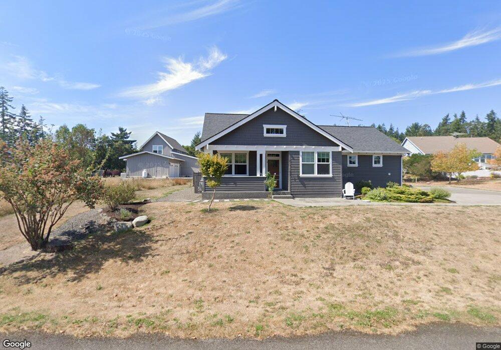
193 N Carnegie Ave Port Townsend, WA 98368
Estimated Value: $535,533 - $662,000
2
Beds
2
Baths
1,226
Sq Ft
$481/Sq Ft
Est. Value
About This Home
This home is located at 193 N Carnegie Ave, Port Townsend, WA 98368 and is currently estimated at $589,383, approximately $480 per square foot. 193 N Carnegie Ave is a home located in Jefferson County with nearby schools including Chimacum Creek Primary School, Chimacum School Pi Program, and Chimacum Elementary School.
Ownership History
Date
Name
Owned For
Owner Type
Purchase Details
Closed on
Oct 3, 2005
Sold by
Meridian Mortgage Investors Fund Ii Llc
Bought by
Meridian Mortgage Investors Fund Ii Llc
Current Estimated Value
Purchase Details
Closed on
Sep 28, 2005
Sold by
Meridian Mortgage Investors Fund Ii Llc
Bought by
Grande John and Grande Joan
Create a Home Valuation Report for This Property
The Home Valuation Report is an in-depth analysis detailing your home's value as well as a comparison with similar homes in the area
Home Values in the Area
Average Home Value in this Area
Purchase History
| Date | Buyer | Sale Price | Title Company |
|---|---|---|---|
| Meridian Mortgage Investors Fund Ii Llc | -- | First American Title | |
| Grande John | $266,000 | Jefferson Title Co |
Source: Public Records
Tax History Compared to Growth
Tax History
| Year | Tax Paid | Tax Assessment Tax Assessment Total Assessment is a certain percentage of the fair market value that is determined by local assessors to be the total taxable value of land and additions on the property. | Land | Improvement |
|---|---|---|---|---|
| 2024 | $3,235 | $429,072 | $138,600 | $290,472 |
| 2023 | $3,235 | $404,268 | $127,000 | $277,268 |
| 2022 | $2,725 | $351,986 | $94,400 | $257,586 |
| 2021 | $2,779 | $302,105 | $87,450 | $214,655 |
| 2020 | $2,582 | $289,874 | $83,475 | $206,399 |
| 2019 | $2,483 | $261,131 | $79,500 | $181,631 |
| 2018 | $2,731 | $252,875 | $79,500 | $173,375 |
| 2017 | $2,531 | $244,619 | $79,500 | $165,119 |
| 2016 | $2,536 | $241,990 | $94,000 | $147,990 |
| 2015 | $2,428 | $241,990 | $94,000 | $147,990 |
| 2014 | -- | $234,943 | $94,000 | $140,943 |
| 2013 | -- | $234,945 | $94,000 | $140,945 |
Source: Public Records
Map
Nearby Homes
- 999 Kala Lagoon Ct
- 261 Sailview Dr Unit 1
- 75 Kala Lagoon Ct
- 190 Bluffs Dr Unit 1
- 31 -2 Bluffs Ct
- 82 S Victory Ave
- 63 Bluffs Ln Unit 1
- 10 Windship Dr
- 0 N Andrew Ave
- 0 S Duquesne Ave
- 32 S Duquesne Ave
- 267 Foxfield Dr
- 273 Foxfield Dr
- 783 Prospect Ave
- 28 Buckhorn Place
- 0 Buckhorn Place
- 593 Prospect Ave
- 371 E Price St
- 52 E Moore St
- 20 Seaview Ct Unit 1
- 200 N Stromberg Ave
- 0 XXX N Carnegie Ave
- 213 N Carnegie Ave
- 173 N Carnegie Ave
- 220 N Stromberg Ave
- 186 N Stromberg Ave
- 9999 N Carnegie Ave
- 172 N Carnegie Ave
- 234 N Carnegie Ave
- 212 N Carnegie Ave
- 999 N Carnegie Ave
- 141 N Carnegie Ave
- 243 N Carnegie Ave
- 143 N Carnegie Ave
- 111 N Carnegie Ave
- 171 N Lyter Ave
- 171 181 N Lyter Ave
- 181 N Lyter Ave
- 230 N Stromberg Ave
- 140 N Stromberg Ave