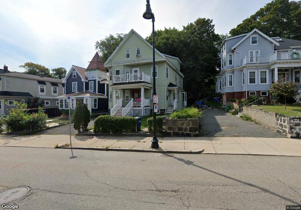
193 Neponset Ave Dorchester, MA 02122
Neponset-Port Norfolk NeighborhoodEstimated Value: $1,029,000 - $1,190,874
7
Beds
3
Baths
3,172
Sq Ft
$352/Sq Ft
Est. Value
About This Home
This home is located at 193 Neponset Ave, Dorchester, MA 02122 and is currently estimated at $1,117,969, approximately $352 per square foot. 193 Neponset Ave is a home located in Suffolk County with nearby schools including Neighborhood House Charter School and Helen Y. Davis Leadership Academy Charter Public School.
Ownership History
Date
Name
Owned For
Owner Type
Purchase Details
Closed on
Oct 15, 2024
Sold by
Thai Julie T
Bought by
Bmt Ret and Thai
Current Estimated Value
Purchase Details
Closed on
May 13, 2011
Sold by
Berrio Walter Al
Bought by
Thai Julie T
Purchase Details
Closed on
Jun 29, 1999
Sold by
Greene Gail and Todd Margaret A
Bought by
Sampey Joanne
Home Financials for this Owner
Home Financials are based on the most recent Mortgage that was taken out on this home.
Original Mortgage
$215,000
Interest Rate
7.09%
Mortgage Type
Purchase Money Mortgage
Create a Home Valuation Report for This Property
The Home Valuation Report is an in-depth analysis detailing your home's value as well as a comparison with similar homes in the area
Home Values in the Area
Average Home Value in this Area
Purchase History
| Date | Buyer | Sale Price | Title Company |
|---|---|---|---|
| Bmt Ret | -- | None Available | |
| Bmt Ret | -- | None Available | |
| Thai Julie T | $280,000 | -- | |
| Thai Julie T | $280,000 | -- | |
| Sampey Joanne | $238,900 | -- | |
| Sampey Joanne | $238,900 | -- |
Source: Public Records
Mortgage History
| Date | Status | Borrower | Loan Amount |
|---|---|---|---|
| Previous Owner | Sampey Joanne | $213,000 | |
| Previous Owner | Sampey Joanne | $215,000 | |
| Previous Owner | Sampey Joanne | $47,500 |
Source: Public Records
Tax History Compared to Growth
Tax History
| Year | Tax Paid | Tax Assessment Tax Assessment Total Assessment is a certain percentage of the fair market value that is determined by local assessors to be the total taxable value of land and additions on the property. | Land | Improvement |
|---|---|---|---|---|
| 2025 | $12,230 | $1,056,100 | $250,700 | $805,400 |
| 2024 | $10,267 | $941,900 | $239,700 | $702,200 |
| 2023 | $9,458 | $880,600 | $224,100 | $656,500 |
| 2022 | $9,212 | $846,700 | $215,500 | $631,200 |
| 2021 | $8,604 | $806,400 | $205,200 | $601,200 |
| 2020 | $7,724 | $731,400 | $188,100 | $543,300 |
| 2019 | $7,140 | $677,400 | $143,800 | $533,600 |
| 2018 | $6,958 | $663,900 | $143,800 | $520,100 |
| 2017 | $6,392 | $603,600 | $143,800 | $459,800 |
| 2016 | $6,148 | $558,900 | $143,800 | $415,100 |
| 2015 | $5,644 | $466,100 | $130,300 | $335,800 |
| 2014 | $5,101 | $405,500 | $130,300 | $275,200 |
Source: Public Records
Map
Nearby Homes
- 217 Neponset Ave Unit 33
- 3 N Munroe Terrace
- 223 Neponset Ave Unit 2
- 36 Mckone St Unit 2
- 36 Mckone St
- 36 Mckone St Unit 1
- 60 Houghton St Unit 62
- 4 Payne St Unit 5
- 108 King St Unit 3
- 104 King St Unit 2
- 8 Mckone St
- 96 King St Unit 1
- 34 Houghton St
- 6 Agawam St
- 51 Coffey St Unit 51C
- 543 Adams St Unit 24
- 381 Adams St Unit 2
- 381 Adams St Unit 1
- 381 Adams St Unit 3
- 45 Chickatawbut St Unit 1
- 195 Neponset Ave
- 191 Neponset Ave
- 197 Neponset Ave
- 187 Neponset Ave
- 187 Neponset Ave
- 187 Neponset Ave Unit 1
- 187 Neponset Ave Unit 2
- 199 Neponset Ave
- 11 Boutwell St
- 11 Boutwell St Unit 2
- 202 Neponset Ave
- 202 Neponset Ave Unit 2
- 202 Neponset Ave Unit 1
- 192 Neponset Ave
- 192 Neponset Ave Unit b
- 14 South Munroe Terrace
- 201 Neponset Ave
- 190 Neponset Ave
- 14 S Munroe Terrace Unit 2
- 14 S Munroe Terrace