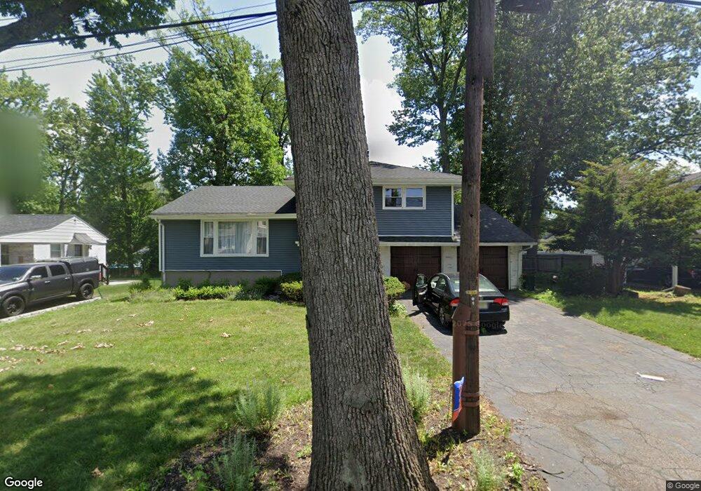
193 New York Ave Dumont, NJ 07628
Estimated Value: $686,000 - $741,000
3
Beds
3
Baths
1,822
Sq Ft
$390/Sq Ft
Est. Value
About This Home
This home is located at 193 New York Ave, Dumont, NJ 07628 and is currently estimated at $710,237, approximately $389 per square foot. 193 New York Ave is a home located in Bergen County with nearby schools including Dumont High School and Institute For Educational Achievement.
Ownership History
Date
Name
Owned For
Owner Type
Purchase Details
Closed on
Jul 12, 2019
Sold by
Kleeblatt Robert J and Kleeblatt Gary
Current Estimated Value
Home Financials for this Owner
Home Financials are based on the most recent Mortgage that was taken out on this home.
Original Mortgage
$375,200
Interest Rate
3.82%
Mortgage Type
New Conventional
Purchase Details
Closed on
Aug 12, 1996
Sold by
Kleeblatt Annette
Bought by
Kleeblatt Robert and Kleeblatt Gary
Create a Home Valuation Report for This Property
The Home Valuation Report is an in-depth analysis detailing your home's value as well as a comparison with similar homes in the area
Home Values in the Area
Average Home Value in this Area
Purchase History
| Date | Buyer | Sale Price | Title Company |
|---|---|---|---|
| Jer-Kovick Douglas Walter | $395,000 | Fortress Title | |
| Jer-Kovick Douglas Walter | $395,000 | Fortress Title | |
| Kleeblatt Robert | $100,000 | -- |
Source: Public Records
Mortgage History
| Date | Status | Borrower | Loan Amount |
|---|---|---|---|
| Previous Owner | Jer-Kovick Douglas Walter | $375,200 |
Source: Public Records
Tax History Compared to Growth
Tax History
| Year | Tax Paid | Tax Assessment Tax Assessment Total Assessment is a certain percentage of the fair market value that is determined by local assessors to be the total taxable value of land and additions on the property. | Land | Improvement |
|---|---|---|---|---|
| 2025 | $15,313 | $600,800 | $323,600 | $277,200 |
| 2024 | $14,936 | $376,700 | $199,300 | $177,400 |
| 2023 | $14,627 | $376,700 | $199,300 | $177,400 |
| 2022 | $14,627 | $376,700 | $199,300 | $177,400 |
| 2021 | $14,556 | $376,700 | $199,300 | $177,400 |
| 2020 | $13,927 | $370,500 | $199,300 | $171,200 |
| 2019 | $13,594 | $370,500 | $199,300 | $171,200 |
| 2018 | $13,316 | $370,500 | $199,300 | $171,200 |
| 2017 | $13,060 | $370,500 | $199,300 | $171,200 |
| 2016 | $12,756 | $370,500 | $199,300 | $171,200 |
| 2015 | $12,464 | $370,500 | $199,300 | $171,200 |
| 2014 | $12,219 | $370,500 | $199,300 | $171,200 |
Source: Public Records
Map
Nearby Homes
- 135 Howard St
- 197 New York Ave
- 199 New York Ave
- 162 Blauvelt Ave
- 201 New York Ave
- 170 Blauvelt Ave
- 115 Howard St
- 182 New York Ave
- 190 New York Ave
- 139 Howard St
- 177 New York Ave
- 198 New York Ave
- 126 Howard St
- 111 Howard St
- 50 Pershing St
- 46 Pershing St
- 120 Howard St
- 56 Pershing St
- 40 Pershing St
- 161 Blauvelt Ave