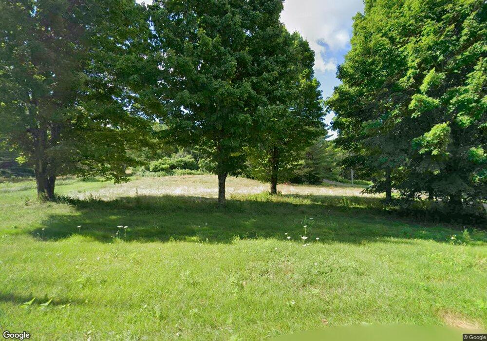
193 Oak Grove Rd Vassalboro, ME 04989
Estimated Value: $296,338 - $401,000
--
Bed
--
Bath
--
Sq Ft
10
Acres
About This Home
This home is located at 193 Oak Grove Rd, Vassalboro, ME 04989 and is currently estimated at $363,335. 193 Oak Grove Rd is a home with nearby schools including Vassalboro Community School.
Ownership History
Date
Name
Owned For
Owner Type
Purchase Details
Closed on
Sep 25, 2024
Sold by
White Jeffrey R
Bought by
Daigle Lori A and White Jeffrey R
Current Estimated Value
Home Financials for this Owner
Home Financials are based on the most recent Mortgage that was taken out on this home.
Original Mortgage
$250,000
Outstanding Balance
$247,441
Interest Rate
6.49%
Mortgage Type
Credit Line Revolving
Estimated Equity
$115,894
Purchase Details
Closed on
Feb 15, 2005
Sold by
White Diane L
Bought by
White Jeffrey R
Create a Home Valuation Report for This Property
The Home Valuation Report is an in-depth analysis detailing your home's value as well as a comparison with similar homes in the area
Home Values in the Area
Average Home Value in this Area
Purchase History
| Date | Buyer | Sale Price | Title Company |
|---|---|---|---|
| Daigle Lori A | -- | None Available | |
| Daigle Lori A | -- | None Available | |
| White Jeffrey R | -- | -- | |
| White Jeffrey R | -- | -- |
Source: Public Records
Mortgage History
| Date | Status | Borrower | Loan Amount |
|---|---|---|---|
| Open | Daigle Lori A | $250,000 | |
| Closed | Daigle Lori A | $250,000 |
Source: Public Records
Tax History Compared to Growth
Tax History
| Year | Tax Paid | Tax Assessment Tax Assessment Total Assessment is a certain percentage of the fair market value that is determined by local assessors to be the total taxable value of land and additions on the property. | Land | Improvement |
|---|---|---|---|---|
| 2024 | $2,693 | $202,000 | $59,400 | $142,600 |
| 2023 | $2,569 | $202,000 | $59,400 | $142,600 |
| 2022 | $2,426 | $168,500 | $49,500 | $119,000 |
| 2021 | $2,440 | $168,500 | $49,500 | $119,000 |
| 2020 | $2,415 | $168,300 | $49,500 | $118,800 |
| 2019 | $2,365 | $151,600 | $44,600 | $107,000 |
| 2018 | $2,342 | $151,600 | $44,600 | $107,000 |
| 2017 | $2,206 | $151,600 | $44,600 | $107,000 |
| 2016 | $2,130 | $151,600 | $44,600 | $107,000 |
| 2015 | $2,077 | $151,600 | $44,600 | $107,000 |
| 2014 | $1,940 | $151,600 | $44,600 | $107,000 |
| 2013 | $1,885 | $168,300 | $49,500 | $118,800 |
Source: Public Records
Map
Nearby Homes
- 98 Burleigh Rd
- 67 Sherwood Ln
- 187 Gray Rd
- 564 Hussey Hill Rd
- 905 Main St
- 1068 Main St
- Lot 98-B Getchell Corner Rd
- 6 Oxford Rd
- 0 S Reynolds Road Lot 2 Rd Unit 1632273
- 364 Cushman Rd
- 330 Drummond Rd
- 327 Cushman Rd
- 441 S Reynolds Rd
- 1 Angie's Dr
- 9A Punky Ln
- 308 Cushman Rd
- 79 Red Sox Dr
- 85 Patriots Dr
- 20 Punky Ln
- 110 Bruins Dr
- 199 Oak Grove Rd
- 191 Oak Grove Rd
- 219 Oak Grove Rd
- 175 Oak Grove Rd
- 196 Oak Grove Rd
- 178 Oak Grove Rd
- 176 Oak Grove Rd
- 222 Oak Grove Rd
- 160 Oak Grove Rd
- 230 Oak Grove Rd
- 30 Davis Rd
- 150 Oak Grove Rd
- 134 Oak Grove Rd
- 140 Oak Grove Rd
- 81 Oak Grove Rd
- 16 Davis Rd
- 116 Oak Grove Rd
- 106 Oak Grove Rd
- 77 Oak Grove Rd
- 128 Oak Grove Rd