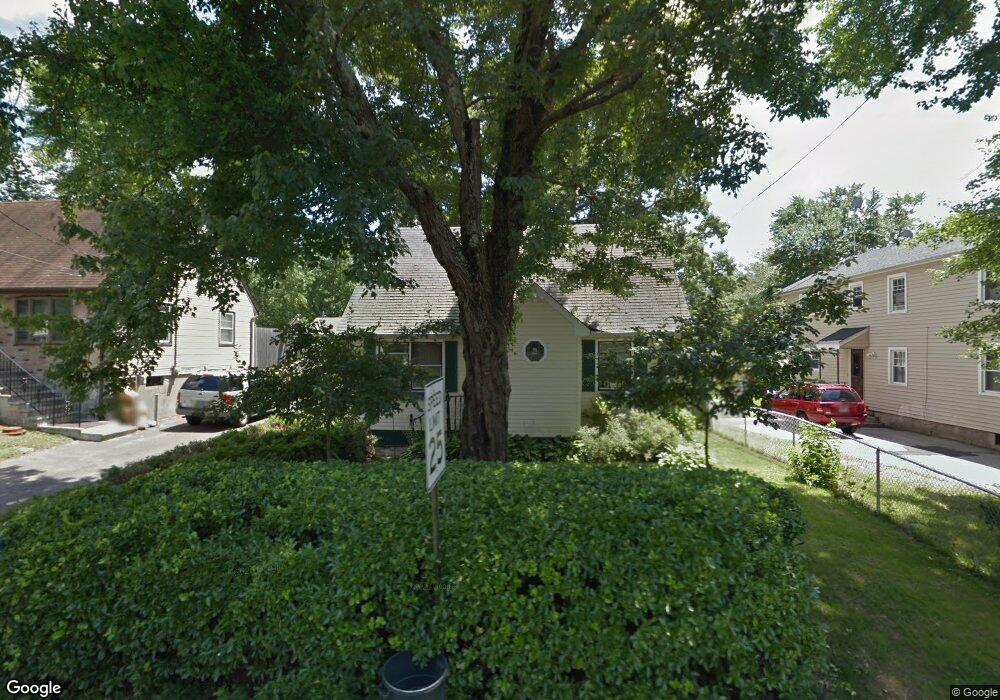
193 Platt St Bridgeport, CT 06606
Reservoir-Whiskey Hill NeighborhoodEstimated Value: $300,000 - $425,000
3
Beds
2
Baths
1,152
Sq Ft
$317/Sq Ft
Est. Value
About This Home
This home is located at 193 Platt St, Bridgeport, CT 06606 and is currently estimated at $365,567, approximately $317 per square foot. 193 Platt St is a home located in Fairfield County with nearby schools including Hallen School, Central High School, and Northeastern Adventist Academy - Fairfield County.
Ownership History
Date
Name
Owned For
Owner Type
Purchase Details
Closed on
Sep 30, 1996
Sold by
Bellamy Charles E and Bellamy Leola
Bought by
Thigpen Aubrey K and Thigpen Wanda C
Current Estimated Value
Home Financials for this Owner
Home Financials are based on the most recent Mortgage that was taken out on this home.
Original Mortgage
$77,914
Outstanding Balance
$6,989
Interest Rate
7.83%
Mortgage Type
Unknown
Estimated Equity
$358,578
Create a Home Valuation Report for This Property
The Home Valuation Report is an in-depth analysis detailing your home's value as well as a comparison with similar homes in the area
Home Values in the Area
Average Home Value in this Area
Purchase History
| Date | Buyer | Sale Price | Title Company |
|---|---|---|---|
| Thigpen Aubrey K | $78,000 | -- | |
| Thigpen Aubrey K | $78,000 | -- |
Source: Public Records
Mortgage History
| Date | Status | Borrower | Loan Amount |
|---|---|---|---|
| Open | Thigpen Aubrey K | $8,800 | |
| Closed | Thigpen Aubrey K | $36,500 | |
| Closed | Thigpen Aubrey K | $8,500 | |
| Open | Thigpen Aubrey K | $77,914 |
Source: Public Records
Tax History
| Year | Tax Paid | Tax Assessment Tax Assessment Total Assessment is a certain percentage of the fair market value that is determined by local assessors to be the total taxable value of land and additions on the property. | Land | Improvement |
|---|---|---|---|---|
| 2025 | $6,076 | $139,830 | $65,290 | $74,540 |
| 2024 | $6,076 | $139,830 | $65,290 | $74,540 |
| 2023 | $6,076 | $139,830 | $65,290 | $74,540 |
| 2022 | $6,076 | $139,830 | $65,290 | $74,540 |
| 2021 | $6,076 | $139,830 | $65,290 | $74,540 |
| 2020 | $5,037 | $93,290 | $30,860 | $62,430 |
| 2019 | $5,037 | $93,290 | $30,860 | $62,430 |
| 2018 | $5,072 | $93,290 | $30,860 | $62,430 |
| 2017 | $5,072 | $93,290 | $30,860 | $62,430 |
| 2016 | $5,072 | $93,290 | $30,860 | $62,430 |
| 2015 | $5,207 | $123,390 | $41,640 | $81,750 |
| 2014 | $5,207 | $123,390 | $41,640 | $81,750 |
Source: Public Records
Map
Nearby Homes
- 410 Alba Ave
- 274 Platt St
- 85 Platt St
- 365 Platt St
- 82 Yaremich Dr
- 26 Karen Ct Unit A
- 717 Reservoir Ave
- 705 Reservoir Ave
- 165 Yaremich Dr
- 235 Douglas St
- 475 Alba Ave
- 438 Soundview Ave
- 495 Alba Ave
- 65 Clearview Dr
- 936 Chopsey Hill Rd
- 181 Cityview Ave
- 45 Polk St
- 110 Wilkins Ave
- 28 Wilkins Ave
- 1320 Chopsey Hill Rd
Your Personal Tour Guide
Ask me questions while you tour the home.