193 St Andrews Dr Bushkill, PA 18324
Estimated Value: $348,504 - $361,000
4
Beds
4
Baths
2,888
Sq Ft
$123/Sq Ft
Est. Value
About This Home
This home is located at 193 St Andrews Dr, Bushkill, PA 18324 and is currently estimated at $354,752, approximately $122 per square foot. 193 St Andrews Dr is a home located in Pike County with nearby schools including Middle Smithfield Elementary School and Lehman Intermediate School.
Ownership History
Date
Name
Owned For
Owner Type
Purchase Details
Closed on
Jul 22, 2015
Sold by
Dejesus Daniella
Bought by
Dejesus Daniel and Plaza Marta
Current Estimated Value
Purchase Details
Closed on
Apr 11, 2011
Sold by
Wells Fargo Bank N A
Bought by
Dejesus Christian
Create a Home Valuation Report for This Property
The Home Valuation Report is an in-depth analysis detailing your home's value as well as a comparison with similar homes in the area
Home Values in the Area
Average Home Value in this Area
Purchase History
| Date | Buyer | Sale Price | Title Company |
|---|---|---|---|
| Dejesus Daniel | -- | Attorney | |
| Dejesus Christian | $93,450 | None Available |
Source: Public Records
Tax History Compared to Growth
Tax History
| Year | Tax Paid | Tax Assessment Tax Assessment Total Assessment is a certain percentage of the fair market value that is determined by local assessors to be the total taxable value of land and additions on the property. | Land | Improvement |
|---|---|---|---|---|
| 2025 | $6,050 | $37,460 | $10,000 | $27,460 |
| 2024 | $6,050 | $37,460 | $10,000 | $27,460 |
| 2023 | $5,959 | $37,460 | $10,000 | $27,460 |
| 2022 | $5,774 | $37,460 | $10,000 | $27,460 |
| 2021 | $5,721 | $37,460 | $10,000 | $27,460 |
| 2020 | $5,721 | $37,460 | $10,000 | $27,460 |
| 2019 | $5,646 | $37,460 | $10,000 | $27,460 |
| 2018 | $5,618 | $37,460 | $10,000 | $27,460 |
| 2017 | $5,512 | $37,460 | $10,000 | $27,460 |
| 2016 | $0 | $37,460 | $10,000 | $27,460 |
| 2015 | -- | $37,460 | $10,000 | $27,460 |
| 2014 | -- | $37,460 | $10,000 | $27,460 |
Source: Public Records
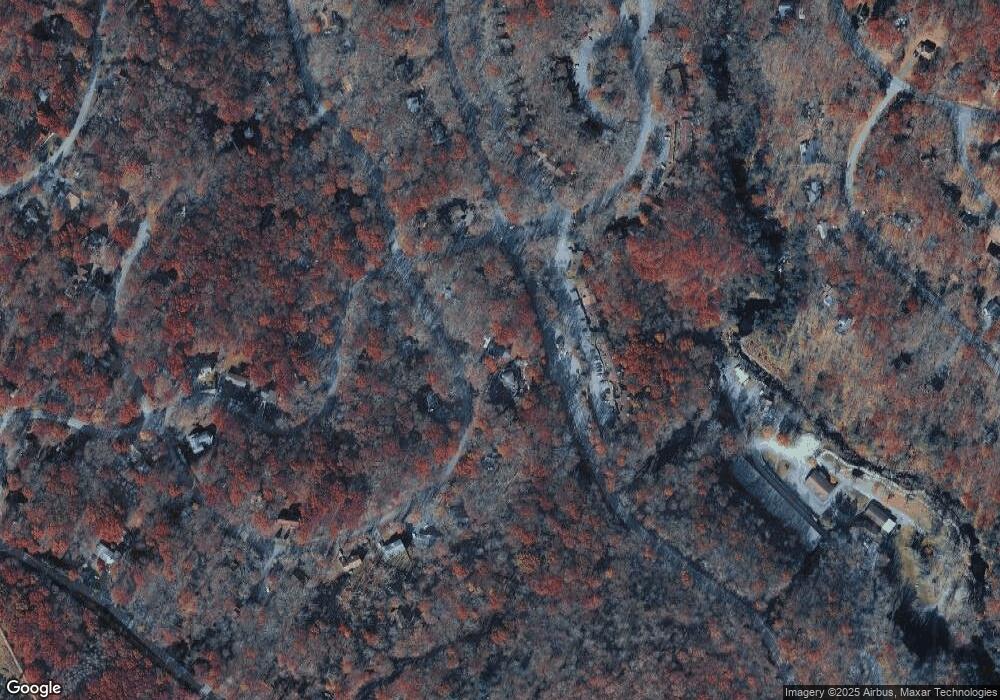
Map
Nearby Homes
- 168 St Andrews Dr
- 217 St Andrews Dr
- 103 Brent Rd
- 128 Meadow View Ct
- 291 Manchester Dr
- 130 Bellingham Dr
- 219 Sterling Ct
- 337 Crewe Ct
- 164 Bellingham Dr
- 1370 Sec 2 N Hampton Ct
- 2223 Sec 3 Bellingham Dr
- 159 Stream Ct
- 195 Bellingham Dr
- 114 Carol Rd
- 1680 Sec 7 Exeter Ct
- Lot 1686 Exeter Ct
- 2210 Exeter Ct
- 553 Sioux Dr
- 134 Halfmoon Ln
- 0 Tamaqua Rd
- 193 Saint Andrews Dr
- 197 St Andrews Dr
- 197 Saint Andrews Dr
- 1403 St Andrews Dr
- 7007 Woodbridge Dr W
- 185 Saint Andrews Dr
- 185 St Andrews Dr
- 198 St Andrews Dr
- 190 St Andrews Dr
- 610 Mountain View Way
- 607 Mountain View Way
- 606 Mountain View Way
- 608 Mountain View Way
- 604 Mountain View Way
- 603 Mountain View Way
- 604 Mountain View Way
- 618 Mountain View Way
- 605 Mountain View Way
- 203 St Andrews Dr
- 609 Mountain View Way