193 W Sandy River Rd Mercer, ME 04957
Estimated Value: $364,000 - $425,000
--
Bed
--
Bath
--
Sq Ft
31
Acres
About This Home
This home is located at 193 W Sandy River Rd, Mercer, ME 04957 and is currently estimated at $402,313. 193 W Sandy River Rd is a home.
Ownership History
Date
Name
Owned For
Owner Type
Purchase Details
Closed on
Jul 13, 2020
Sold by
Bunker Eric R
Bought by
Geyer Philip A and Bunker Geyer P
Current Estimated Value
Home Financials for this Owner
Home Financials are based on the most recent Mortgage that was taken out on this home.
Original Mortgage
$135,200
Outstanding Balance
$119,886
Interest Rate
3.1%
Mortgage Type
Stand Alone Refi Refinance Of Original Loan
Estimated Equity
$282,427
Purchase Details
Closed on
Jul 23, 2013
Sold by
Bunker Eric R and Bunker Lorie J
Bought by
Bunker Eric R
Home Financials for this Owner
Home Financials are based on the most recent Mortgage that was taken out on this home.
Original Mortgage
$141,900
Interest Rate
3.92%
Mortgage Type
Commercial
Create a Home Valuation Report for This Property
The Home Valuation Report is an in-depth analysis detailing your home's value as well as a comparison with similar homes in the area
Home Values in the Area
Average Home Value in this Area
Purchase History
| Date | Buyer | Sale Price | Title Company |
|---|---|---|---|
| Geyer Philip A | -- | None Available | |
| Geyer Philip A | -- | None Available | |
| Bunker Eric R | -- | -- | |
| Bunker Eric R | -- | -- |
Source: Public Records
Mortgage History
| Date | Status | Borrower | Loan Amount |
|---|---|---|---|
| Open | Geyer Philip A | $135,200 | |
| Closed | Geyer Philip A | $135,200 | |
| Previous Owner | Bunker Eric R | $141,900 |
Source: Public Records
Tax History Compared to Growth
Tax History
| Year | Tax Paid | Tax Assessment Tax Assessment Total Assessment is a certain percentage of the fair market value that is determined by local assessors to be the total taxable value of land and additions on the property. | Land | Improvement |
|---|---|---|---|---|
| 2024 | $3,950 | $376,200 | $98,800 | $277,400 |
| 2023 | $3,514 | $188,930 | $39,780 | $149,150 |
| 2022 | $3,325 | $188,930 | $39,780 | $149,150 |
| 2021 | $3,325 | $188,930 | $39,780 | $149,150 |
| 2020 | $3,325 | $188,930 | $39,780 | $149,150 |
| 2019 | $3,268 | $188,930 | $39,780 | $149,150 |
| 2018 | $3,080 | $187,790 | $39,780 | $148,010 |
| 2017 | $3,003 | $187,790 | $39,780 | $148,010 |
| 2016 | $2,995 | $187,790 | $39,780 | $148,010 |
| 2015 | $2,971 | $187,790 | $39,780 | $148,010 |
| 2014 | $2,862 | $187,790 | $39,780 | $148,010 |
Source: Public Records
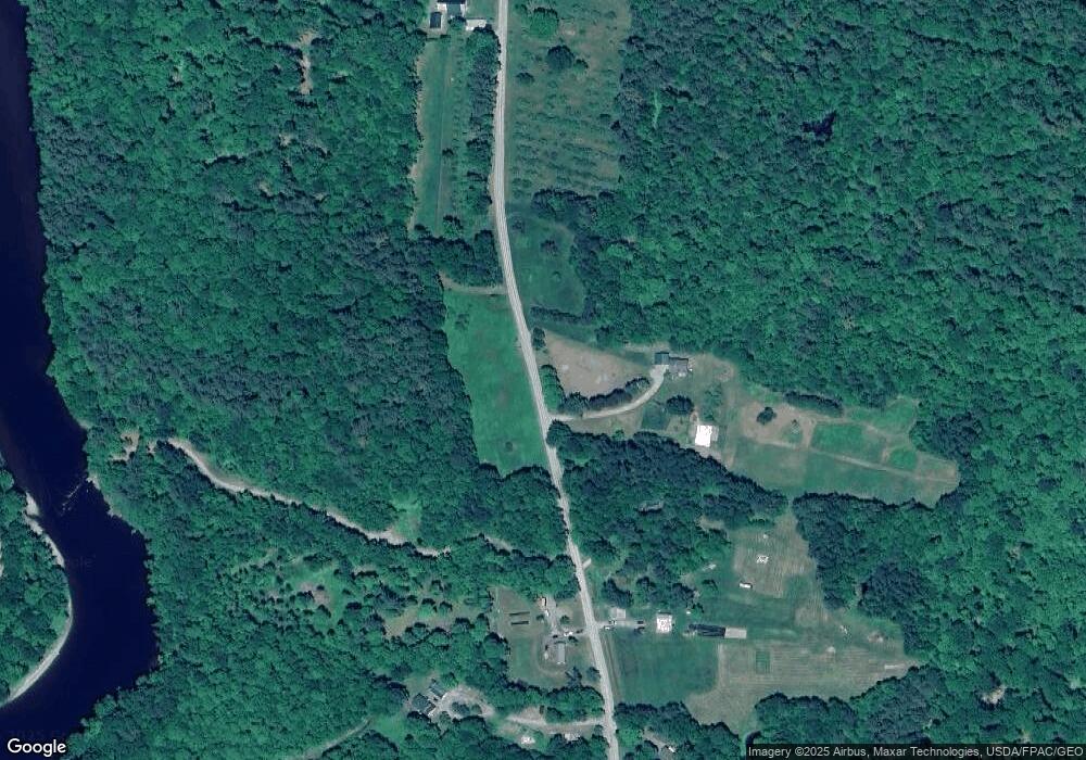
Map
Nearby Homes
- 510 Branns Mill Rd
- 349 Elm St
- 1550 New Sharon Rd
- 17 Claude Brewer Rd
- 0 Poor Farm Rd Unit 1637355
- 204 Rome Rd
- 00 U S Highway 2
- 257 Rome Rd
- 2679 Industry Rd
- 331 Beans Corner Rd
- Lot 33 Butterfield Rd
- M10 L12 Yeaton Island
- 137 Butterfield Rd
- M10/18-7 Brown Rd
- 157 Bradley Ln
- 335 Swan Rd
- M18L13 Mercer Rd
- 257 Sawyers Mills Rd
- 901 Mercer Rd
- 8 Magnolia Ln
- Map9 L19-7 W Sandy River Rd
- 171 W Sandy River Rd
- 240 W Sandy River Rd
- 164 W Sandy River Rd
- 172 W Sandy River Rd
- 155 W Sandy River Rd
- 285 W Sandy River Rd
- 299 W Sandy River Rd
- 309 W Sandy River Rd
- 78 W Sandy River Rd
- 86 W Sandy River Rd
- 1057 New Sharon Rd
- 322 W Sandy River Rd
- 1101 New Sharon Rd
- 1115 New Sharon Rd
- 1081 New Sharon Rd
- 62 W Sandy River Rd
- 32 W Sandy River Rd
- 62 W Sandy River Rd
- 1145 New Sharon Rd