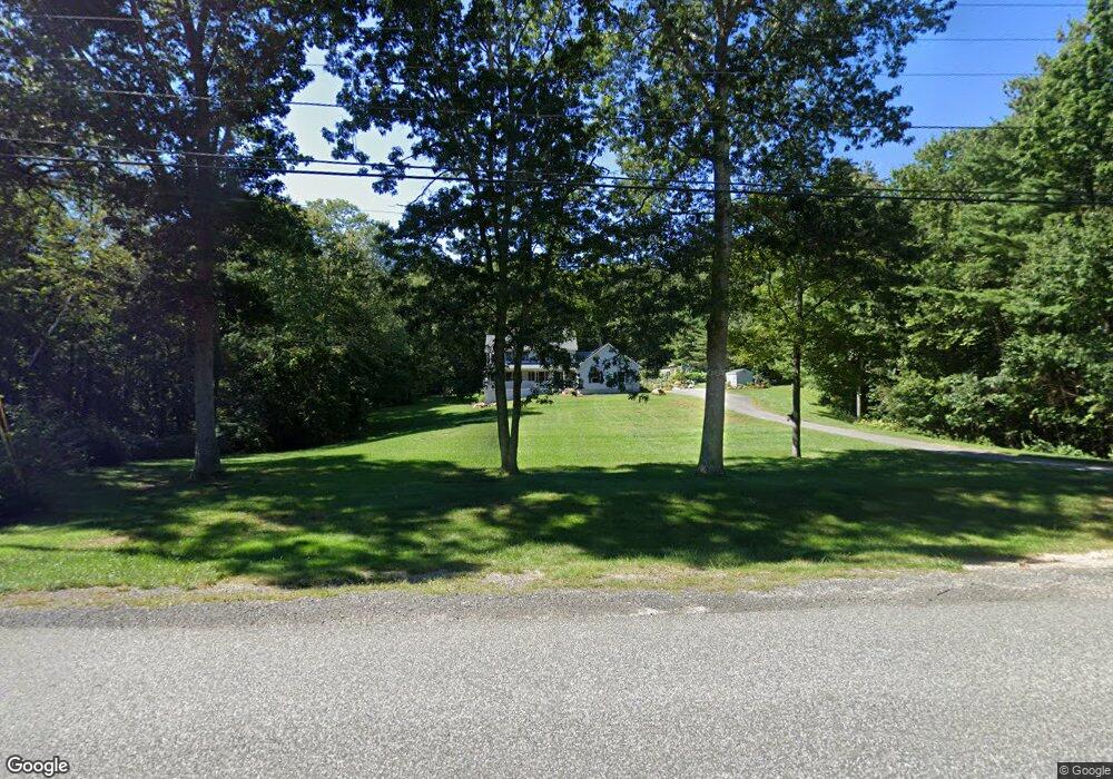
193 Wales Rd Monson, MA 01057
Estimated Value: $542,372 - $667,000
4
Beds
3
Baths
2,800
Sq Ft
$221/Sq Ft
Est. Value
About This Home
This home is located at 193 Wales Rd, Monson, MA 01057 and is currently estimated at $619,343, approximately $221 per square foot. 193 Wales Rd is a home located in Hampden County with nearby schools including Quarry Hill Community School, Granite Valley School, and Monson High School.
Ownership History
Date
Name
Owned For
Owner Type
Purchase Details
Closed on
Nov 29, 2012
Sold by
Caldwell James R and Caldwell Linda L
Bought by
Appleby Tommy and Toepfer-Appleby Windy
Current Estimated Value
Home Financials for this Owner
Home Financials are based on the most recent Mortgage that was taken out on this home.
Original Mortgage
$236,800
Outstanding Balance
$164,295
Interest Rate
3.4%
Mortgage Type
New Conventional
Estimated Equity
$455,048
Purchase Details
Closed on
Feb 10, 2006
Sold by
Woodbury Carol A and Woodbury Keith P
Bought by
Caldwell James R and Caldwell Linda L
Purchase Details
Closed on
Sep 17, 1998
Sold by
Dubosh George and Dubosh Catherine S
Bought by
Woodbury Keith P and Woodbury Carol A
Create a Home Valuation Report for This Property
The Home Valuation Report is an in-depth analysis detailing your home's value as well as a comparison with similar homes in the area
Home Values in the Area
Average Home Value in this Area
Purchase History
| Date | Buyer | Sale Price | Title Company |
|---|---|---|---|
| Appleby Tommy | $296,000 | -- | |
| Caldwell James R | $375,000 | -- | |
| Woodbury Keith P | $32,500 | -- |
Source: Public Records
Mortgage History
| Date | Status | Borrower | Loan Amount |
|---|---|---|---|
| Open | Appleby Tommy | $236,800 | |
| Previous Owner | Woodbury Keith P | $250,000 |
Source: Public Records
Tax History Compared to Growth
Tax History
| Year | Tax Paid | Tax Assessment Tax Assessment Total Assessment is a certain percentage of the fair market value that is determined by local assessors to be the total taxable value of land and additions on the property. | Land | Improvement |
|---|---|---|---|---|
| 2025 | $7,600 | $511,100 | $69,200 | $441,900 |
| 2024 | $7,446 | $480,400 | $69,200 | $411,200 |
| 2023 | $7,265 | $458,100 | $69,200 | $388,900 |
| 2022 | $6,877 | $385,700 | $69,200 | $316,500 |
| 2021 | $6,454 | $356,200 | $69,200 | $287,000 |
| 2020 | $6,508 | $356,200 | $69,200 | $287,000 |
| 2019 | $6,219 | $339,100 | $69,200 | $269,900 |
| 2018 | $5,956 | $338,400 | $76,600 | $261,800 |
| 2017 | $5,684 | $326,500 | $73,500 | $253,000 |
| 2016 | $5,519 | $322,400 | $72,400 | $250,000 |
| 2015 | $5,374 | $322,400 | $72,400 | $250,000 |
| 2014 | $4,888 | $301,700 | $72,400 | $229,300 |
Source: Public Records
Map
Nearby Homes
- 0 Moulton Hill Rd
- 199 Munn Rd
- 179 Bumstead Rd
- 221 Moulton Hill Rd
- 96 Stafford Hollow Rd
- 150 Stafford Hollow Rd
- 6 Bridge St
- 0 Mccray Cir
- 0 Paradise Lake Rd
- 1 Heritage Ln
- 80 Blodgett Rd
- 4 Stewart Ave
- 283 Leonard Rd
- 24 Ash St
- 21 High St
- 23 High St
- 10 Ash St
- 4 Spring St
- 26 Brimfield Rd
- Lot B Brimfield Rd