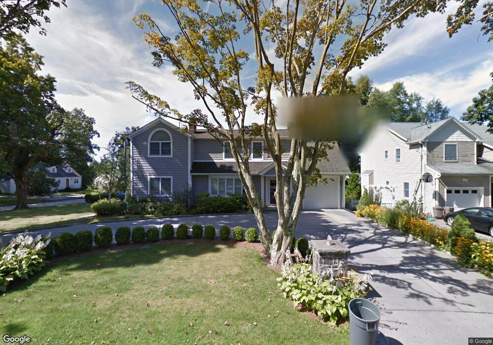
193 Warren Ave Hawthorne, NY 10532
Estimated Value: $745,000 - $1,024,000
3
Beds
2
Baths
2,705
Sq Ft
$327/Sq Ft
Est. Value
About This Home
This home is located at 193 Warren Ave, Hawthorne, NY 10532 and is currently estimated at $884,528, approximately $326 per square foot. 193 Warren Ave is a home located in Westchester County with nearby schools including Hawthorne Elementary School, Columbus Elementary School, and Westlake Middle School.
Ownership History
Date
Name
Owned For
Owner Type
Purchase Details
Closed on
Sep 11, 2000
Sold by
Clark Beatrice and Scova Virginia H
Bought by
Leo Thomas R and Leo Michelle A
Current Estimated Value
Create a Home Valuation Report for This Property
The Home Valuation Report is an in-depth analysis detailing your home's value as well as a comparison with similar homes in the area
Home Values in the Area
Average Home Value in this Area
Purchase History
| Date | Buyer | Sale Price | Title Company |
|---|---|---|---|
| Leo Thomas R | $250,000 | First American Title Ins Co |
Source: Public Records
Tax History
| Year | Tax Paid | Tax Assessment Tax Assessment Total Assessment is a certain percentage of the fair market value that is determined by local assessors to be the total taxable value of land and additions on the property. | Land | Improvement |
|---|---|---|---|---|
| 2024 | $16,649 | $8,250 | $1,600 | $6,650 |
| 2023 | $16,169 | $8,250 | $1,600 | $6,650 |
| 2022 | $15,890 | $8,250 | $1,600 | $6,650 |
| 2021 | $15,586 | $8,250 | $1,600 | $6,650 |
| 2020 | $15,292 | $8,250 | $1,600 | $6,650 |
| 2019 | $16,443 | $8,250 | $1,600 | $6,650 |
| 2018 | $18,670 | $8,250 | $1,600 | $6,650 |
| 2017 | $0 | $8,250 | $1,600 | $6,650 |
| 2016 | $14,797 | $8,250 | $1,600 | $6,650 |
| 2015 | -- | $8,250 | $1,600 | $6,650 |
| 2014 | -- | $8,250 | $1,600 | $6,650 |
| 2013 | -- | $8,250 | $1,600 | $6,650 |
Source: Public Records
Map
Nearby Homes
- 342 Willis Ave
- 317 Elwood Ave
- 21 Bruce Ln
- 41 Foxhill Rd
- 16 Highclere Ln Unit A
- 775 Linda Ave
- 30 Highclere Ln
- 00 Belleview Ave
- 43 Hilltop Ln
- 186 Rutledge Ave
- 31 W Linwood St
- 55 Leroy Ave
- 440 Pythian Ave
- 179A Lakeview Ave
- 230 Westlake Dr
- 3 Birchbrook Dr
- 12 Greenwood Ln
- 24 Burnsdale Ave
- 454 Swanson Dr
- 450 Westlake Dr
Your Personal Tour Guide
Ask me questions while you tour the home.