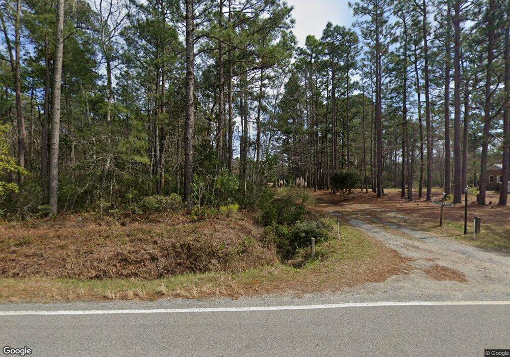
193 Winery Rd Sneads Ferry, NC 28460
Estimated Value: $233,000 - $384,490
2
Beds
2
Baths
2,447
Sq Ft
$128/Sq Ft
Est. Value
About This Home
This home is located at 193 Winery Rd, Sneads Ferry, NC 28460 and is currently estimated at $312,123, approximately $127 per square foot. 193 Winery Rd is a home located in Onslow County with nearby schools including Dixon Elementary School, Coastal Elementary, and Dixon High School.
Ownership History
Date
Name
Owned For
Owner Type
Purchase Details
Closed on
Jun 1, 2021
Sold by
Domagala Patricia Ann and Buttich Paricia A
Bought by
Domagala Patricia Ann
Current Estimated Value
Home Financials for this Owner
Home Financials are based on the most recent Mortgage that was taken out on this home.
Original Mortgage
$116,000
Interest Rate
2.9%
Mortgage Type
New Conventional
Purchase Details
Closed on
Jun 21, 2010
Sold by
Buttich Patricia A Multop and Soboczynski Mildred E
Bought by
Buttich Patricia A Multop
Home Financials for this Owner
Home Financials are based on the most recent Mortgage that was taken out on this home.
Original Mortgage
$94,800
Interest Rate
4.18%
Mortgage Type
New Conventional
Create a Home Valuation Report for This Property
The Home Valuation Report is an in-depth analysis detailing your home's value as well as a comparison with similar homes in the area
Home Values in the Area
Average Home Value in this Area
Purchase History
| Date | Buyer | Sale Price | Title Company |
|---|---|---|---|
| Domagala Patricia Ann | -- | Boston National Title | |
| Buttich Patricia A Multop | -- | None Available |
Source: Public Records
Mortgage History
| Date | Status | Borrower | Loan Amount |
|---|---|---|---|
| Closed | Domagala Patricia Ann | $116,000 | |
| Closed | Buttich Patricia A Multop | $94,800 |
Source: Public Records
Tax History Compared to Growth
Tax History
| Year | Tax Paid | Tax Assessment Tax Assessment Total Assessment is a certain percentage of the fair market value that is determined by local assessors to be the total taxable value of land and additions on the property. | Land | Improvement |
|---|---|---|---|---|
| 2025 | $1,461 | $223,096 | $58,450 | $164,646 |
| 2024 | $1,461 | $223,096 | $58,450 | $164,646 |
| 2023 | $1,461 | $223,096 | $58,450 | $164,646 |
| 2022 | $1,461 | $223,096 | $58,450 | $164,646 |
| 2021 | $1,180 | $167,330 | $53,450 | $113,880 |
| 2020 | $1,180 | $167,330 | $53,450 | $113,880 |
| 2019 | $1,180 | $167,330 | $53,450 | $113,880 |
| 2018 | $1,180 | $167,330 | $53,450 | $113,880 |
| 2017 | $1,088 | $161,210 | $48,450 | $112,760 |
| 2016 | $1,088 | $161,210 | $0 | $0 |
| 2015 | $1,088 | $161,210 | $0 | $0 |
| 2014 | $1,088 | $161,210 | $0 | $0 |
Source: Public Records
Map
Nearby Homes
- 1784 N Carolina 172
- 720 Ellabond St
- 718 Ellabond St
- 716 Ellabond St
- Athens Plan at The Landing at Mill Creek
- Milan Plan at The Landing at Mill Creek
- Layne Plan at The Landing at Mill Creek
- Brookings Plan at The Landing at Mill Creek
- Ashby Plan at The Landing at Mill Creek
- Vienna 2080 Plan at The Landing at Mill Creek
- Marvin Plan at The Landing at Mill Creek
- Albany Plan at The Landing at Mill Creek
- Riley Plan at The Landing at Mill Creek
- Laura E Plan at The Landing at Mill Creek
- Laura 3307 Plan at The Landing at Mill Creek
- Vienna C Plan at The Landing at Mill Creek
- Summerlyn Plan at The Landing at Mill Creek
- Laura Plan at The Landing at Mill Creek
- Massey 3196 Plan at The Landing at Mill Creek
- Vienna A Plan at The Landing at Mill Creek
- 199 Winery Rd
- 188 Winery Rd
- 220 Winery Rd
- 116 Hartsfield Rd
- 169 Hartsfield Rd
- 161 Hartsfield Rd
- 271 Winery Rd
- 207 Winery Rd
- 1686 Highway Unit 172
- 1688 Highway
- 1676 Nc Highway 172
- 1686 N Carolina 172
- 1688 N Carolina 172
- 1690 N Carolina 172 Unit 210
- 1690 N Carolina 172
- 1692 N Carolina 172 Unit 210
- 148 Oyster Landing Dr
- 152 Oyster Landing Dr
- 137 Oyster Landing Dr
- 149 Oyster Landing Dr
