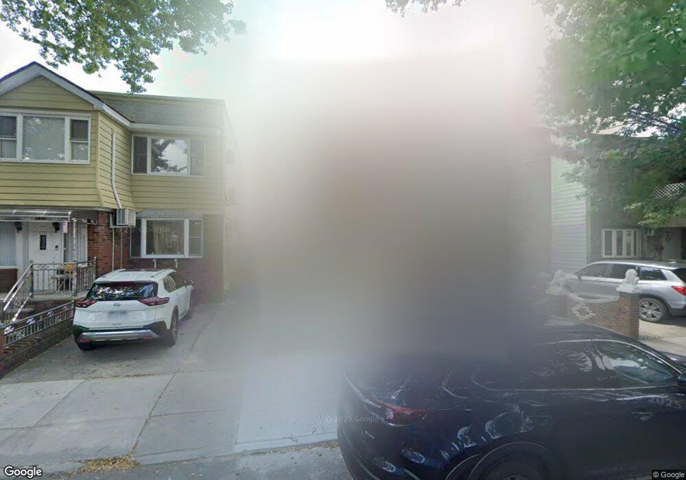
1930 74th St Brooklyn, NY 11204
Bensonhurst NeighborhoodEstimated Value: $1,111,185 - $1,624,000
About This Home
This home is located at 1930 74th St, Brooklyn, NY 11204 and is currently estimated at $1,418,046, approximately $659 per square foot. 1930 74th St is a home located in Kings County with nearby schools including P.S. 186 Dr. Irving A. Gladstone Elementary School, Seth Low Intermediate School 96, and New Utrecht High School.
Ownership History
We collect this data history from publicly available records. To have your information removed, we recommend requesting removal directly through your county’s website.
Purchase Details
Purchase Details
Home Financials for this Owner
Home Financials are based on the most recent Mortgage that was taken out on this home.Purchase Details
Home Financials for this Owner
Home Financials are based on the most recent Mortgage that was taken out on this home.Home Values in the Area
Average Home Value in this Area
Purchase History
We collect this data history from publicly available records. To have your information removed, we recommend requesting removal directly through your county’s website.
| Date | Buyer | Sale Price | Title Company |
|---|---|---|---|
| -- | -- | ||
| $650,000 | -- | ||
| $260,000 | Commonwealth Land Title Ins |
Mortgage History
We collect this data history from publicly available records. To have your information removed, we recommend requesting removal directly through your county’s website.
| Date | Status | Borrower | Loan Amount |
|---|---|---|---|
| Previous Owner | $350,000 | ||
| Previous Owner | $160,000 |
Tax History
We collect this data history from publicly available records. To have your information removed, we recommend requesting removal directly through your county’s website.
| Year | Tax Paid | Tax Assessment Tax Assessment Total Assessment is a certain percentage of the fair market value that is determined by local assessors to be the total taxable value of land and additions on the property. | Land | Improvement |
|---|---|---|---|---|
| 2026 | $8,523 | $85,560 | $15,900 | $69,660 |
| 2025 | $8,355 | $65,100 | $15,900 | $49,200 |
| 2024 | $8,355 | $74,160 | $15,900 | $58,260 |
| 2023 | $8,011 | $91,020 | $15,900 | $75,120 |
| 2022 | $7,438 | $79,020 | $15,900 | $63,120 |
| 2021 | $7,395 | $72,480 | $15,900 | $56,580 |
| 2020 | $3,675 | $71,520 | $15,900 | $55,620 |
| 2019 | $7,202 | $71,520 | $15,900 | $55,620 |
| 2018 | $6,641 | $34,038 | $7,947 | $26,091 |
| 2017 | $6,274 | $32,246 | $7,775 | $24,471 |
| 2016 | $5,779 | $30,456 | $8,540 | $21,916 |
| 2015 | $3,669 | $30,456 | $10,853 | $19,603 |
| 2014 | $3,669 | $29,859 | $10,413 | $19,446 |
Map
- 1932 74th St
- 1934 74th St
- 1938 74th St
- 1926 74th St
- 1940 74th St
- 1924 74th St
- 1944 74th St
- 1920 74th St
- 1939 Bay Ridge Pkwy
- 1927 Bay Ridge Pkwy
- 1933 Bay Ridge Pkwy
- 1933 Bay Ridge Pkwy Unit 2
- 1946 74th St
- 1918 74th St
- 1923 Bay Ridge Pkwy
- 1923 Bay Ridge Pkwy Unit 2
- 1923 Bay Ridge Pkwy
- 1919 Bay Ridge Pkwy
- 1943 Bay Ridge Pkwy
- 1950 74th St
Ask me questions while you tour the home.