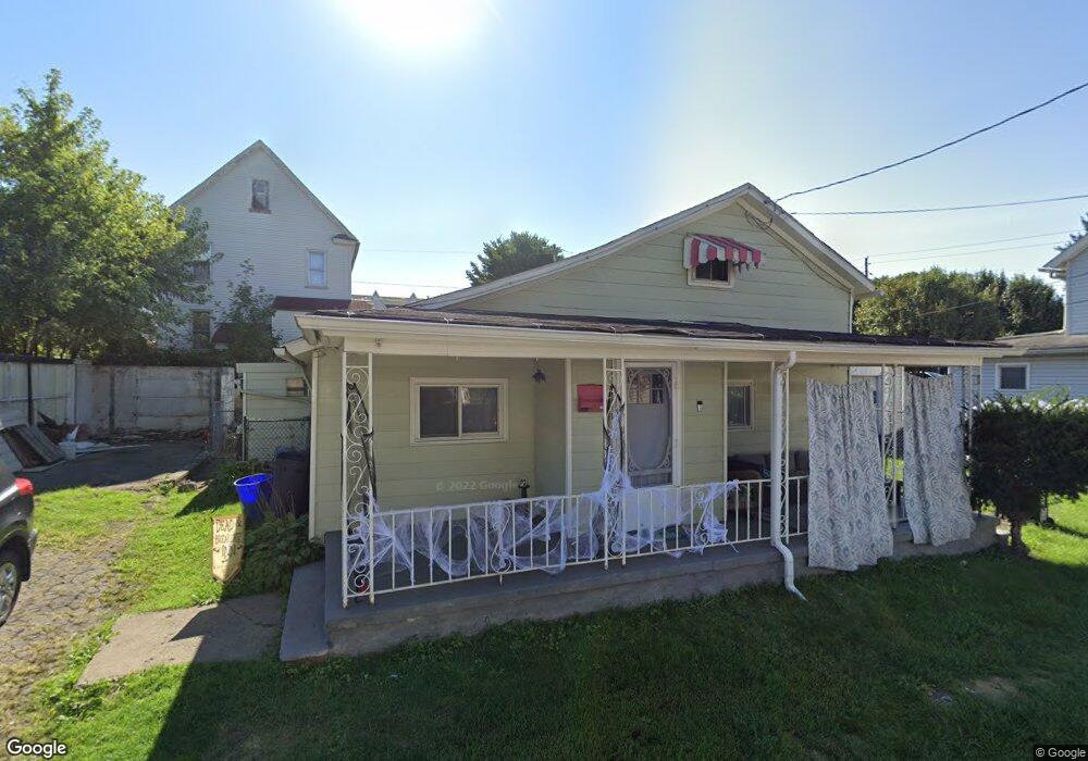
1930 Amelia Ave Scranton, PA 18509
Greenridge NeighborhoodEstimated Value: $95,000 - $108,554
2
Beds
1
Bath
847
Sq Ft
$121/Sq Ft
Est. Value
About This Home
This home is located at 1930 Amelia Ave, Scranton, PA 18509 and is currently estimated at $102,889, approximately $121 per square foot. 1930 Amelia Ave is a home located in Lackawanna County with nearby schools including Robert Morris #27, Northeast Scranton Intermediate School, and Scranton High School.
Ownership History
Date
Name
Owned For
Owner Type
Purchase Details
Closed on
Jun 18, 2009
Sold by
Pacholec Benjamin Debra and Benjamin Christian J
Bought by
Perciballi Diana J
Current Estimated Value
Home Financials for this Owner
Home Financials are based on the most recent Mortgage that was taken out on this home.
Original Mortgage
$27,000
Outstanding Balance
$17,187
Interest Rate
4.91%
Mortgage Type
New Conventional
Estimated Equity
$85,702
Create a Home Valuation Report for This Property
The Home Valuation Report is an in-depth analysis detailing your home's value as well as a comparison with similar homes in the area
Home Values in the Area
Average Home Value in this Area
Purchase History
| Date | Buyer | Sale Price | Title Company |
|---|---|---|---|
| Perciballi Diana J | $42,000 | None Available |
Source: Public Records
Mortgage History
| Date | Status | Borrower | Loan Amount |
|---|---|---|---|
| Open | Perciballi Diana J | $27,000 |
Source: Public Records
Tax History
| Year | Tax Paid | Tax Assessment Tax Assessment Total Assessment is a certain percentage of the fair market value that is determined by local assessors to be the total taxable value of land and additions on the property. | Land | Improvement |
|---|---|---|---|---|
| 2025 | $1,533 | $4,500 | $1,150 | $3,350 |
| 2024 | $1,407 | $4,500 | $1,150 | $3,350 |
| 2023 | $1,407 | $4,500 | $1,150 | $3,350 |
| 2022 | $1,376 | $4,500 | $1,150 | $3,350 |
| 2021 | $1,376 | $4,500 | $1,150 | $3,350 |
| 2020 | $1,352 | $4,500 | $1,150 | $3,350 |
| 2019 | $1,273 | $4,500 | $1,150 | $3,350 |
| 2018 | $1,273 | $4,500 | $1,150 | $3,350 |
| 2017 | $1,252 | $4,500 | $1,150 | $3,350 |
| 2016 | $437 | $4,500 | $1,150 | $3,350 |
| 2015 | $627 | $4,500 | $1,150 | $3,350 |
| 2014 | -- | $4,500 | $1,150 | $3,350 |
Source: Public Records
Map
Nearby Homes
- 1909 Boulevard Ave
- 2089 N Main Ave
- 1747 Monsey Ave
- 2106 Boulevard Ave
- 614 Delaware St
- 2105 Belmont Terrace
- 902 Columbia St
- 1810 Capouse Ave
- 1635 Sanderson Ave
- 2402 N Main Ave
- 2009-2011 Margaret Ave
- 535 Green Ridge St
- 1732 Capouse Ave
- 214 William St
- 193 W Parker St
- 63-65 E Parker St
- 1021 Richmont St
- 1519 1521 von Storch Ave
- 1015 Grandview St
- 1513 Meylert Ave
- 1931 Bristol Ct
- 2016 Amelia Ave
- 419 Deacon St
- 1929 Amelia Ave Unit 1931
- 425 Deacon St
- 431 Bristol Ct
- 417 Deacon St
- 2026 Amelia Ave Unit 28
- 411 Deacon St
- 1935 Amelia Ave
- 433 Bristol Ct
- 1930 Bristol Ct
- 1932 Bristol Ct Unit 34
- 433 Deacon St
- 407 Deacon St Unit 409
- 1945 Amelia Ave
- 1926 Bristol Ct
- 420 Deacon St Unit 422
- 2004 Amelia Ave
- 2001 Smith Place
Your Personal Tour Guide
Ask me questions while you tour the home.