Estimated Value: $525,723 - $601,000
3
Beds
2
Baths
1,906
Sq Ft
$294/Sq Ft
Est. Value
About This Home
This home is located at 1930 Applegate Rd, Reno, NV 89521 and is currently estimated at $559,431, approximately $293 per square foot. 1930 Applegate Rd is a home located in Storey County with nearby schools including Hugh Gallagher Elementary School and Virginia City Middle School.
Ownership History
Date
Name
Owned For
Owner Type
Purchase Details
Closed on
Mar 16, 2006
Sold by
Uehling Clark Melvin
Bought by
Smith Patrick W and Smith Beth P
Current Estimated Value
Home Financials for this Owner
Home Financials are based on the most recent Mortgage that was taken out on this home.
Original Mortgage
$271,431
Outstanding Balance
$152,948
Interest Rate
6.12%
Mortgage Type
New Conventional
Estimated Equity
$406,483
Create a Home Valuation Report for This Property
The Home Valuation Report is an in-depth analysis detailing your home's value as well as a comparison with similar homes in the area
Home Values in the Area
Average Home Value in this Area
Purchase History
| Date | Buyer | Sale Price | Title Company |
|---|---|---|---|
| Smith Patrick W | $339,289 | First Amer Title Co Of Nv |
Source: Public Records
Mortgage History
| Date | Status | Borrower | Loan Amount |
|---|---|---|---|
| Open | Smith Patrick W | $271,431 |
Source: Public Records
Tax History
| Year | Tax Paid | Tax Assessment Tax Assessment Total Assessment is a certain percentage of the fair market value that is determined by local assessors to be the total taxable value of land and additions on the property. | Land | Improvement |
|---|---|---|---|---|
| 2025 | $1,524 | $49,484 | $12,600 | $36,884 |
| 2024 | $1,524 | $49,649 | $12,600 | $37,049 |
| 2023 | $1,524 | $45,064 | $9,450 | $35,614 |
| 2022 | $1,370 | $39,595 | $9,450 | $30,145 |
| 2021 | $1,360 | $39,288 | $8,575 | $30,713 |
| 2020 | $1,344 | $39,220 | $7,700 | $31,520 |
| 2019 | $1,305 | $37,716 | $7,280 | $30,436 |
| 2018 | $1,287 | $37,185 | $6,804 | $30,381 |
| 2017 | $1,294 | $37,381 | $6,300 | $31,081 |
| 2016 | $1,328 | $38,286 | $6,300 | $31,986 |
| 2015 | $1,363 | $38,881 | $6,300 | $32,581 |
| 2014 | $1,363 | $34,931 | $7,182 | $27,749 |
Source: Public Records
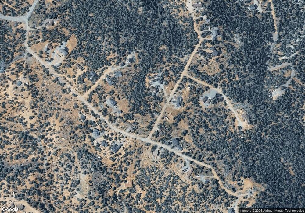
Map
Nearby Homes
- 21455 Saddleback Rd
- 2165 Hermit Rd
- 21410 Sazarac Rd
- 2035 Silverado Rd
- 370 Panamint Rd
- 2070 Alpine Rd
- 2246 Cartwright Rd
- 21561 Colt Dr
- 480 Highland Rd
- 2300 Cartwright Rd
- 0 Buckeye Off of Rd Unit 250057076
- 21615 Dortort Dr
- 1810 Harte Rd
- 1801 Harte Rd
- 1791 Harte Rd
- 2111 Empire Rd
- 2421 Cartwright Rd
- 21499 Crestview Rd
- 1450 Bonanza Rd
- 1850 Lousetown Rd
- 1970 Applegate Rd
- 1945 Saddleback Rd
- 1941 Saddleback Rd
- 2020 Applegate Rd
- 21395 Saddleback Rd
- 21450 Saddleback Rd
- 21375 Saddleback Rd
- 1961 Saddleback Rd
- 2025 Applegate Rd
- 1999 Applegate Rd
- 2030 Applegate Rd
- 21405 Pinenut Rd
- 1971 Saddleback Rd
- 21400 Saddleback Rd
- 21385 Saddleback Rd
- 21345 Saddleback Rd
- 21415 Pinenut Rd Unit M-328
- 21325 Saddleback Rd
- 21335 Saddleback Rd
- 2055 Flint Rd
Your Personal Tour Guide
Ask me questions while you tour the home.