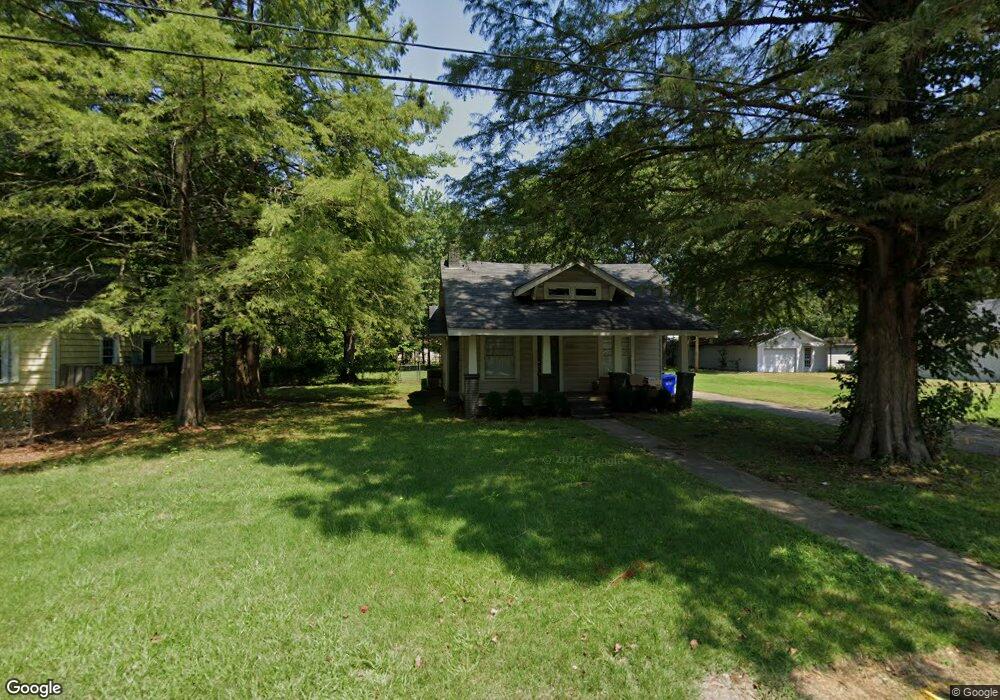
1930 Duncan St Conway, AR 72034
Downtown Conway NeighborhoodEstimated Value: $182,000 - $210,000
Studio
1
Bath
1,306
Sq Ft
$146/Sq Ft
Est. Value
About This Home
This home is located at 1930 Duncan St, Conway, AR 72034 and is currently estimated at $191,044, approximately $146 per square foot. 1930 Duncan St is a home located in Faulkner County with nearby schools including Ida Burns Elementary School, Conway Junior High School, and Ruth Doyle Intermediate School.
Ownership History
Date
Name
Owned For
Owner Type
Purchase Details
Closed on
Nov 13, 2007
Bought by
Dt Real Estate
Current Estimated Value
Purchase Details
Closed on
Oct 29, 2007
Bought by
Dt Real Estate
Purchase Details
Closed on
Oct 18, 2007
Sold by
Federal National Mortgage Association
Bought by
Dt Real Estate Llc
Purchase Details
Closed on
Oct 2, 2007
Bought by
Fed Ntl Mtg
Purchase Details
Closed on
Sep 25, 2007
Bought by
Fed Ntl Mtg
Purchase Details
Closed on
Jun 8, 2007
Bought by
Wells Fargo
Purchase Details
Closed on
Jun 5, 2007
Bought by
Wells Fargo
Purchase Details
Closed on
Aug 5, 2005
Sold by
Porter Margie L
Bought by
Wells Fargo Bank Na
Create a Home Valuation Report for This Property
The Home Valuation Report is an in-depth analysis detailing your home's value as well as a comparison with similar homes in the area
Home Values in the Area
Average Home Value in this Area
Purchase History
| Date | Buyer | Sale Price | Title Company |
|---|---|---|---|
| Dt Real Estate | -- | -- | |
| Dt Real Estate | -- | -- | |
| Dt Real Estate Llc | -- | None Available | |
| Dt Real Estate | -- | -- | |
| Fed Ntl Mtg | -- | -- | |
| Fed Ntl Mtg | -- | -- | |
| Wells Fargo | $58,200 | -- | |
| Wells Fargo | $58,200 | -- | |
| Wells Fargo Bank Na | -- | None Available |
Source: Public Records
Tax History
| Year | Tax Paid | Tax Assessment Tax Assessment Total Assessment is a certain percentage of the fair market value that is determined by local assessors to be the total taxable value of land and additions on the property. | Land | Improvement |
|---|---|---|---|---|
| 2025 | $1,287 | $34,350 | $5,000 | $29,350 |
| 2024 | $1,180 | $34,350 | $5,000 | $29,350 |
| 2023 | $1,073 | $21,200 | $5,000 | $16,200 |
| 2022 | $1,068 | $21,200 | $5,000 | $16,200 |
| 2021 | $979 | $21,200 | $5,000 | $16,200 |
| 2020 | $890 | $17,590 | $5,000 | $12,590 |
| 2019 | $890 | $17,590 | $5,000 | $12,590 |
| 2018 | $890 | $17,590 | $5,000 | $12,590 |
| 2017 | $890 | $17,590 | $5,000 | $12,590 |
| 2016 | $852 | $16,830 | $5,000 | $11,830 |
| 2015 | $774 | $15,300 | $5,000 | $10,300 |
| 2014 | $774 | $15,300 | $5,000 | $10,300 |
Source: Public Records
Map
Nearby Homes
- 2005 Weems St
- 1069 Donaghey Ave
- 1934 Lee Ave
- 0 Lee Ave
- 1916 Johnston Ave
- 1834 Johnston Ave
- 1220 & 1221 Ash St
- 839 Watkins St
- 1621 Prince St
- 846 Donaghey Ave
- 1130 Clifton St
- 1415 Watkins St
- 1150 Clifton St
- 2207 Independence Ave
- 2007 Arkansas Ave
- 819 & 821 Center St
- 1535 Clifton St
- 1317 Fairlane Dr
- 1815 Scott St
- 00 Third Ave
Your Personal Tour Guide
Ask me questions while you tour the home.