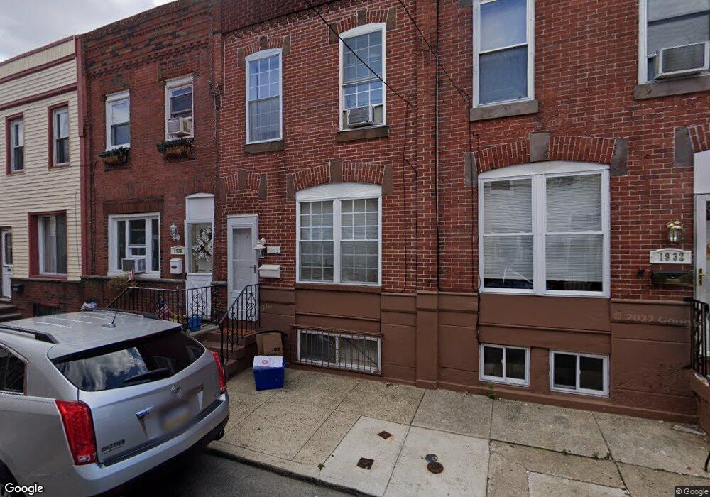
1930 Durfor St Philadelphia, PA 19145
South Philadelphia West NeighborhoodEstimated Value: $214,000 - $255,000
3
Beds
1
Bath
1,008
Sq Ft
$234/Sq Ft
Est. Value
About This Home
This home is located at 1930 Durfor St, Philadelphia, PA 19145 and is currently estimated at $236,007, approximately $234 per square foot. 1930 Durfor St is a home located in Philadelphia County with nearby schools including Stephen Girard School, Universal Vare Charter School, and St. Monica School.
Ownership History
Date
Name
Owned For
Owner Type
Purchase Details
Closed on
May 2, 2022
Sold by
Kelly Michael J and Kelly Patricia
Bought by
Jomich Llc
Current Estimated Value
Home Financials for this Owner
Home Financials are based on the most recent Mortgage that was taken out on this home.
Original Mortgage
$120,000
Outstanding Balance
$111,325
Interest Rate
5.11%
Mortgage Type
New Conventional
Estimated Equity
$124,682
Purchase Details
Closed on
Jun 17, 1999
Sold by
Ennis Harry F and Will Of William F Ennis
Bought by
Kelly Michael J and Kelly Patricia
Create a Home Valuation Report for This Property
The Home Valuation Report is an in-depth analysis detailing your home's value as well as a comparison with similar homes in the area
Home Values in the Area
Average Home Value in this Area
Purchase History
| Date | Buyer | Sale Price | Title Company |
|---|---|---|---|
| Jomich Llc | $160,000 | None Listed On Document | |
| Kelly Michael J | $30,000 | -- |
Source: Public Records
Mortgage History
| Date | Status | Borrower | Loan Amount |
|---|---|---|---|
| Open | Jomich Llc | $120,000 |
Source: Public Records
Tax History Compared to Growth
Tax History
| Year | Tax Paid | Tax Assessment Tax Assessment Total Assessment is a certain percentage of the fair market value that is determined by local assessors to be the total taxable value of land and additions on the property. | Land | Improvement |
|---|---|---|---|---|
| 2025 | $2,878 | $218,100 | $43,620 | $174,480 |
| 2024 | $2,878 | $218,100 | $43,620 | $174,480 |
| 2023 | $2,878 | $205,600 | $41,120 | $164,480 |
| 2022 | $2,489 | $205,600 | $41,120 | $164,480 |
| 2021 | $2,489 | $0 | $0 | $0 |
| 2020 | $2,489 | $0 | $0 | $0 |
| 2019 | $2,314 | $0 | $0 | $0 |
| 2018 | $2,068 | $0 | $0 | $0 |
| 2017 | $2,068 | $0 | $0 | $0 |
| 2016 | $2,068 | $0 | $0 | $0 |
| 2015 | $1,979 | $0 | $0 | $0 |
| 2014 | -- | $147,700 | $12,421 | $135,279 |
| 2012 | -- | $12,992 | $1,014 | $11,978 |
Source: Public Records
Map
Nearby Homes
- 2401 S Opal St
- 1946 Fitzgerald St
- 1906 Durfor St
- 2328 S 20th St
- 1940 Wolf St
- 1847 Gladstone St
- 2329 S Woodstock St
- 2344 S Woodstock St
- 2346 S Woodstock St
- 2445 S Garnet St
- 2231 S Opal St
- 2325 S Lambert St
- 2306 S Woodstock St
- 1841 Wolf St
- 2223 S 20th St
- 1821 W Porter St
- 2446 S Woodstock St
- 1807 Gladstone St
- 1803 Gladstone St
- 2514 S 20th St
- 1932 Durfor St
- 1928 Durfor St
- 1926 Durfor St
- 1934 Durfor St
- 1924 Durfor St
- 1936 Durfor St
- 1931 Fitzgerald St
- 1929 Fitzgerald St
- 1938 Durfor St
- 1933 Fitzgerald St
- 1922 Durfor St
- 1935 Fitzgerald St
- 1927 Fitzgerald St
- 1937 Fitzgerald St
- 1925 Fitzgerald St
- 1940 Durfor St
- 1920 Durfor St
- 1923 Fitzgerald St
- 1939 Fitzgerald St
- 1918 Durfor St