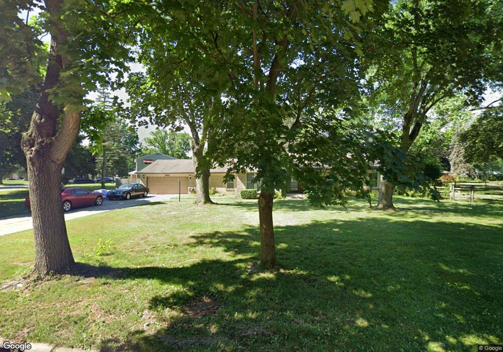
1930 E Crest Dr Toledo, OH 43614
Southwyck NeighborhoodEstimated Value: $234,000 - $247,000
3
Beds
3
Baths
1,887
Sq Ft
$128/Sq Ft
Est. Value
About This Home
This home is located at 1930 E Crest Dr, Toledo, OH 43614 and is currently estimated at $241,563, approximately $128 per square foot. 1930 E Crest Dr is a home located in Lucas County with nearby schools including Glendale-Feilbach Elementary School, Bowsher High School, and Northwest Ohio Classical Academy.
Ownership History
Date
Name
Owned For
Owner Type
Purchase Details
Closed on
Sep 29, 2003
Sold by
Kimmet Randall J and Kimmet Paula J
Bought by
Smith Frank and Smith Debora A
Current Estimated Value
Home Financials for this Owner
Home Financials are based on the most recent Mortgage that was taken out on this home.
Original Mortgage
$140,400
Outstanding Balance
$64,258
Interest Rate
6.4%
Mortgage Type
Purchase Money Mortgage
Estimated Equity
$177,305
Purchase Details
Closed on
Mar 27, 1992
Sold by
Hipsher J R and C R
Create a Home Valuation Report for This Property
The Home Valuation Report is an in-depth analysis detailing your home's value as well as a comparison with similar homes in the area
Home Values in the Area
Average Home Value in this Area
Purchase History
| Date | Buyer | Sale Price | Title Company |
|---|---|---|---|
| Smith Frank | $156,000 | Midland | |
| -- | $83,500 | -- |
Source: Public Records
Mortgage History
| Date | Status | Borrower | Loan Amount |
|---|---|---|---|
| Open | Smith Frank | $140,400 |
Source: Public Records
Tax History
| Year | Tax Paid | Tax Assessment Tax Assessment Total Assessment is a certain percentage of the fair market value that is determined by local assessors to be the total taxable value of land and additions on the property. | Land | Improvement |
|---|---|---|---|---|
| 2025 | -- | $62,685 | $13,930 | $48,755 |
| 2024 | $1,813 | $62,685 | $13,930 | $48,755 |
| 2023 | $2,968 | $49,350 | $12,355 | $36,995 |
| 2022 | $2,986 | $49,350 | $12,355 | $36,995 |
| 2021 | $3,006 | $49,350 | $12,355 | $36,995 |
| 2020 | $2,803 | $40,495 | $10,150 | $30,345 |
| 2019 | $2,710 | $40,495 | $10,150 | $30,345 |
| 2018 | $3,057 | $40,495 | $10,150 | $30,345 |
| 2017 | $2,718 | $39,410 | $12,635 | $26,775 |
| 2016 | $3,391 | $112,600 | $36,100 | $76,500 |
| 2015 | $3,375 | $112,600 | $36,100 | $76,500 |
| 2014 | $2,479 | $39,420 | $12,640 | $26,780 |
| 2013 | $2,479 | $39,420 | $12,640 | $26,780 |
Source: Public Records
Map
Nearby Homes
- 1936 W Crest Dr
- 4730 Glendale Ave
- 1819 Garden Ridge Dr
- 4671 Valley Ridge Ct
- 2311 Maryann Place
- 1662 Brownstone Blvd Unit 312
- 1662 Brownstone Blvd
- 1668 Brownstone Blvd
- 1660 Brownstone Blvd Unit 213
- 1666 Brownstone Blvd
- 2147 Glen Arbor Dr
- 2585 W Village Dr
- 5441 Cresthaven Ln
- 4349 Glendale Ave
- 2161 Winterset Dr Unit 2161
- 5637 Swan Creek Dr
- 2276 Heatherwood Dr
- 1225 Westgate Rd
- 5221 Melvin Dr
- 2363 Havenwood Dr
- 1925 W Crest Dr
- 1948 E Crest Dr
- 1935 W Crest Dr
- 1918 Daleview Ct
- 1937 E Crest Dr
- 1926 E Crest Dr
- 1927 Daleview Ct
- 1958 E Crest Dr
- 1949 W Crest Dr
- 1945 E Crest Dr
- 1928 W Crest Dr
- 1953 E Crest Dr
- 2001 W Crest Dr
- 1914 Daleview Ct
- 2010 E Crest Dr
- 1930 W Crest Dr
- 2003 E Crest Dr
- 1917 Daleview Ct
- 2009 W Crest Dr
- 1938 Cass Rd
Your Personal Tour Guide
Ask me questions while you tour the home.