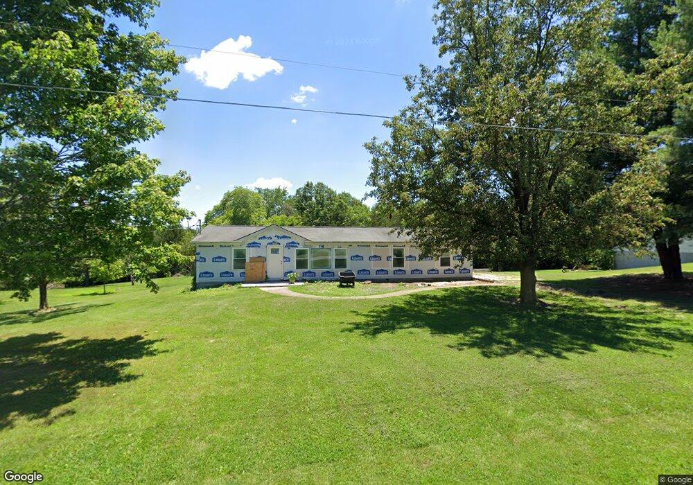
1930 Erin Dr Festus, MO 63028
Estimated Value: $256,000 - $310,000
Studio
1
Bath
1,680
Sq Ft
$166/Sq Ft
Est. Value
About This Home
This home is located at 1930 Erin Dr, Festus, MO 63028 and is currently estimated at $278,387, approximately $165 per square foot. 1930 Erin Dr is a home located in Jefferson County with nearby schools including Plattin Primary School, Telegraph Intermediate School, and Danby-Rush Tower Middle School.
Ownership History
Date
Name
Owned For
Owner Type
Purchase Details
Closed on
Oct 31, 2000
Sold by
Overberg Jerry and Overberg Rhonda
Bought by
Baker William C
Current Estimated Value
Home Financials for this Owner
Home Financials are based on the most recent Mortgage that was taken out on this home.
Original Mortgage
$42,000
Interest Rate
7.87%
Purchase Details
Closed on
Jun 25, 1999
Sold by
Siebert Mark S and Siebert Theresa D
Bought by
Overberg Jerry and Overberg Rhonda
Home Financials for this Owner
Home Financials are based on the most recent Mortgage that was taken out on this home.
Original Mortgage
$77,000
Interest Rate
7%
Create a Home Valuation Report for This Property
The Home Valuation Report is an in-depth analysis detailing your home's value as well as a comparison with similar homes in the area
Purchase History
| Date | Buyer | Sale Price | Title Company |
|---|---|---|---|
| Baker William C | -- | -- | |
| Overberg Jerry | -- | -- |
Source: Public Records
Mortgage History
| Date | Status | Borrower | Loan Amount |
|---|---|---|---|
| Previous Owner | Baker William C | $42,000 | |
| Previous Owner | Overberg Jerry | $77,000 |
Source: Public Records
Tax History
| Year | Tax Paid | Tax Assessment Tax Assessment Total Assessment is a certain percentage of the fair market value that is determined by local assessors to be the total taxable value of land and additions on the property. | Land | Improvement |
|---|---|---|---|---|
| 2025 | $1,157 | $23,200 | $1,600 | $21,600 |
| 2024 | $1,157 | $18,100 | $1,600 | $16,500 |
| 2023 | $1,157 | $18,100 | $1,600 | $16,500 |
| 2022 | $1,157 | $18,100 | $1,600 | $16,500 |
| 2021 | $1,159 | $18,100 | $1,600 | $16,500 |
| 2020 | $1,079 | $16,300 | $1,400 | $14,900 |
| 2019 | $1,079 | $16,300 | $1,400 | $14,900 |
| 2018 | $1,077 | $16,300 | $1,400 | $14,900 |
| 2016 | $917 | $14,700 | $1,400 | $13,300 |
Source: Public Records
Map
Nearby Homes
- 1801 State Road Aa
- 1561 Timber Wolf Dr
- 1490 Cole Rd
- 1800 Burley Rd
- 13132 State Road Tt
- 1 Pueblo Cir
- 10 Crystal Lake Ct
- 4446 Wilson Hill Dr
- 3689 Rouggly Kiepe Rd
- Lot 61 S Pointe Estates
- 1509 Buck View
- 1616 Fox Ct
- 0 Unknown Unit MIS24022702
- 0 Unknown Unit MIS25062432
- 1517 Louisiana Dr
- 1 Lot Howe Crossing Unit 1 Lot
- 4 Lot Howe Crossing Unit 4 Lot
- 2 Lot Howe Crossing Unit 2 Lot
- 1085 Danby Rd
- 4453 Drury Rd
- 1916 Erin Dr
- 1925 Erin Dr
- 1945 Erin Dr
- 1950 Erin Dr
- 1911 Erin Dr
- 1901 Erin Dr
- 1955 Erin Dr
- 1956 Erin Dr
- 3277 Shamrock Rd
- 1900 Erin Dr
- 3303 Shamrock Rd
- 3300 Shamrock Rd
- 3241 Shamrock Rd
- 3353 Shamrock Rd
- 3250 Shamrock Rd
- 3211 Shamrock Rd
- 1950 State Road Aa
- 3240 Shamrock Rd
- 1974 State Road Aa
- 3330 Shamrock Rd
Your Personal Tour Guide
Ask me questions while you tour the home.