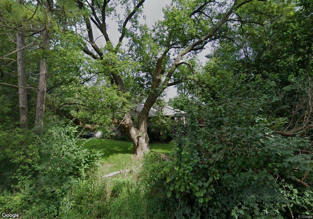
1930 Gulley Rd Howell, MI 48843
Estimated Value: $323,486 - $435,000
3
Beds
1
Bath
1,632
Sq Ft
$245/Sq Ft
Est. Value
About This Home
This home is located at 1930 Gulley Rd, Howell, MI 48843 and is currently estimated at $400,622, approximately $245 per square foot. 1930 Gulley Rd is a home located in Livingston County with nearby schools including Ruahmah J. Hutchings Elementary, Parker Middle School, and Howell High School.
Ownership History
Date
Name
Owned For
Owner Type
Purchase Details
Closed on
Apr 27, 2016
Sold by
Swanson Kathleen M and Swanson Eric E
Bought by
Swanson Kathleen M
Current Estimated Value
Purchase Details
Closed on
Jul 2, 2004
Sold by
Swanson Kathleen M and Chaps Kathleen M
Bought by
Swanson Eric E and Swanson Kathleen M
Home Financials for this Owner
Home Financials are based on the most recent Mortgage that was taken out on this home.
Original Mortgage
$153,000
Interest Rate
6.5%
Mortgage Type
New Conventional
Create a Home Valuation Report for This Property
The Home Valuation Report is an in-depth analysis detailing your home's value as well as a comparison with similar homes in the area
Home Values in the Area
Average Home Value in this Area
Purchase History
| Date | Buyer | Sale Price | Title Company |
|---|---|---|---|
| Swanson Kathleen M | -- | None Available | |
| Swanson Eric E | -- | -- |
Source: Public Records
Mortgage History
| Date | Status | Borrower | Loan Amount |
|---|---|---|---|
| Closed | Swanson Eric E | $153,000 |
Source: Public Records
Tax History
| Year | Tax Paid | Tax Assessment Tax Assessment Total Assessment is a certain percentage of the fair market value that is determined by local assessors to be the total taxable value of land and additions on the property. | Land | Improvement |
|---|---|---|---|---|
| 2025 | $1,581 | $152,300 | $0 | $0 |
| 2024 | $1,536 | $143,900 | $0 | $0 |
| 2023 | $1,468 | $131,800 | $0 | $0 |
| 2022 | $675 | $110,400 | $0 | $0 |
| 2021 | $2,033 | $116,900 | $0 | $0 |
| 2020 | $2,056 | $110,400 | $0 | $0 |
| 2019 | $2,027 | $99,500 | $0 | $0 |
| 2018 | $2,003 | $97,500 | $0 | $0 |
| 2017 | $1,976 | $95,600 | $0 | $0 |
| 2016 | $1,965 | $93,100 | $0 | $0 |
| 2014 | $1,869 | $79,600 | $0 | $0 |
| 2012 | $1,869 | $78,000 | $0 | $0 |
Source: Public Records
Map
Nearby Homes
- 2206 Moorlands View Unit 32
- 4153 Ash Tree Ln
- 4145 Ash Tree Ln
- 1900 N Hughes Rd
- TBD Cannonade Loop
- 3225 N Latson Rd
- 000 N Latson Rd
- 000 VL N Latson Rd
- 559 Cannonade Loop
- 499 Cannonade Loop
- 475 Cannonade Loop
- 0 Eager Unit 293099
- 453 N Hughes Rd
- VL Gentry Rd
- 1363 Douglas Fir Dr
- 2643 Kerria Dr Unit 65
- 2830 Bonny Brook Dr Unit 3
- 100 N Latson Rd
- 1570 Princewood Blvd
- 2511 Kerria Dr Unit 42
- 4485 E Highland Rd
- 1928 Olympian Way Unit 21
- 1906 Olympian Way Unit 20
- 000 Olympian Way
- 0 Olympian Way Unit 218059667
- 0 Olympian Way Unit 215117088
- 0 Olympian Way Unit 213099815
- 2023 Blackberry Ln
- 5 Olympian Way
- 1852 Olympian Way
- 1873 Olympian Way
- 1914 Gulley Rd
- 2028 Blackberry Ln
- 2071 Blackberry Ln Unit 21
- 1933 Olympian Way
- 1851 Olympian Way
- 2044 Blackberry Ln
- 1833 Olympian Way
- 1830 Olympian Way Unit 18
- 2093 Blackberry Ln Unit 22
Your Personal Tour Guide
Ask me questions while you tour the home.