Estimated Value: $430,000 - $1,112,348
Studio
--
Bath
2,676
Sq Ft
$288/Sq Ft
Est. Value
About This Home
This home is located at 1930 High Rd, Kyle, TX 78640 and is currently estimated at $771,174, approximately $288 per square foot. 1930 High Rd is a home located in Hays County with nearby schools including Uhland Elementary School, D J Red Simon Middle School, and Lehman High School.
Ownership History
Date
Name
Owned For
Owner Type
Purchase Details
Closed on
Sep 12, 2022
Sold by
Dearmon David Joe and Dearmon Judy Lynne
Bought by
Dearmon Living Trust and Dearmon
Current Estimated Value
Purchase Details
Closed on
May 26, 2004
Sold by
Duvall Daniel
Bought by
Dearmon David J and Dearmon Judy L
Home Financials for this Owner
Home Financials are based on the most recent Mortgage that was taken out on this home.
Original Mortgage
$148,000
Interest Rate
5.93%
Mortgage Type
Purchase Money Mortgage
Purchase Details
Closed on
Jan 7, 1999
Sold by
Santos Jesus R and Santos Elisa M
Bought by
De'Armon David J and De'Armon Judy L
Purchase Details
Closed on
Jul 28, 1997
Sold by
Fakler Thomas L and Fakler Mary D
Bought by
De'Armon David J and De'Armon Judy L
Create a Home Valuation Report for This Property
The Home Valuation Report is an in-depth analysis detailing your home's value as well as a comparison with similar homes in the area
Home Values in the Area
Average Home Value in this Area
Purchase History
| Date | Buyer | Sale Price | Title Company |
|---|---|---|---|
| Dearmon Living Trust | -- | None Listed On Document | |
| Dearmon David J | -- | -- | |
| De'Armon David J | -- | -- | |
| De'Armon David J | -- | -- |
Source: Public Records
Mortgage History
| Date | Status | Borrower | Loan Amount |
|---|---|---|---|
| Previous Owner | Dearmon David J | $148,000 | |
| Closed | Dearmon David J | $27,750 |
Source: Public Records
Tax History
| Year | Tax Paid | Tax Assessment Tax Assessment Total Assessment is a certain percentage of the fair market value that is determined by local assessors to be the total taxable value of land and additions on the property. | Land | Improvement |
|---|---|---|---|---|
| 2025 | $2,313 | $316,980 | -- | -- |
| 2024 | $57 | $316,520 | $0 | $0 |
| 2023 | $5,157 | $296,105 | $0 | $0 |
| 2022 | $5,222 | $269,732 | $0 | $0 |
| 2021 | $5,180 | $242,767 | $0 | $0 |
| 2019 | $4,358 | $196,310 | $0 | $0 |
| 2018 | $4,145 | $186,040 | $0 | $0 |
| 2017 | $4,002 | $178,330 | $0 | $0 |
| 2016 | $3,729 | $166,160 | $0 | $0 |
| 2015 | $3,024 | $157,370 | $0 | $0 |
Source: Public Records
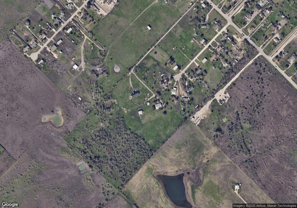
Map
Nearby Homes
- 171 Rolling Meadows Ln
- 2874 Cotton Gin Rd
- 2674 Cotton Gin Rd
- 618 Arnold Loop Unit B
- 474 Whoopers Loop
- 594A Arnold Loop
- 130 Harrison Crossing Unit A
- 482 Whoopers Loop
- 488 Whoopers Loop
- 582A Arnold Loop
- 510 Whoopers Loop
- 518 Whoopers Loop
- 433 Whoopers Loop
- 524 Whoopers Loop
- 441 Whoopers Loop
- 790 Arnold Loop
- 582 Arnold Loop Unit A
- 594 Arnold Loop
- 544A Arnold Loop
- 312 Jefferson Dr
- 100 Sunny Ridge Dr
- 100 Sunny Ridge Dr
- 105 Sunny Ridge Dr
- 106 Sunny Ridge Dr
- 114 Sunny Ridge Dr
- 115 Sunny Ridge Dr
- 2000 High Rd
- 117 Sunny Ridge Dr
- 0 County Rd 127 Unit 2613143
- Lot 17 Sunny Ridge Dr
- 2100 High Rd
- LOT 10 Sunny Ridge Dr N
- 1940 High Rd
- 287 Rolling Meadows Ln
- 255 Rolling Meadows Ln
- 2005 High Rd
- TBD High Rd
- 2154 High Rd
- 1804 High Rd
- 312 Rolling Meadows Ln
Your Personal Tour Guide
Ask me questions while you tour the home.