1930 Independence R Independence, KY 41051
Estimated Value: $226,000 - $317,000
About This Home
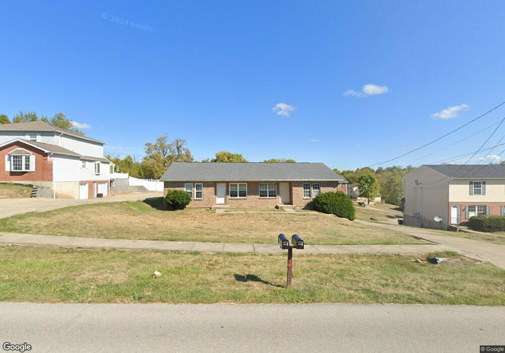
This home is located at 1930 Independence R, Independence, KY 41051 and is currently estimated at $283,726, approximately $139 per square foot. 1930 Independence R is a home located in Kenton County with nearby schools including Kenton Elementary School, Twenhofel Middle School, and Simon Kenton High School.
Ownership History
We collect this data history from publicly available records. To have your information removed, we recommend requesting removal directly through your county’s website.
Purchase Details
Home Financials for this Owner
Home Financials are based on the most recent Mortgage that was taken out on this home.Purchase Details
Home Financials for this Owner
Home Financials are based on the most recent Mortgage that was taken out on this home.Purchase Details
Home Financials for this Owner
Home Financials are based on the most recent Mortgage that was taken out on this home.Purchase Details
Home Financials for this Owner
Home Financials are based on the most recent Mortgage that was taken out on this home.Home Values in the Area
Average Home Value in this Area
Purchase History
We collect this data history from publicly available records. To have your information removed, we recommend requesting removal directly through your county’s website.
| Date | Buyer | Sale Price | Title Company |
|---|---|---|---|
| $190,000 | Priority National Title | ||
| $190,000 | Priority National Title | ||
| $140,000 | Titlecare Closing Company | ||
| $129,000 | -- | ||
| $115,000 | -- |
Mortgage History
We collect this data history from publicly available records. To have your information removed, we recommend requesting removal directly through your county’s website.
| Date | Status | Borrower | Loan Amount |
|---|---|---|---|
| Open | $161,500 | ||
| Closed | $161,500 | ||
| Previous Owner | $126,000 | ||
| Previous Owner | $206,146 | ||
| Previous Owner | $92,000 |
Tax History
We collect this data history from publicly available records. To have your information removed, we recommend requesting removal directly through your county’s website.
| Year | Tax Paid | Tax Assessment Tax Assessment Total Assessment is a certain percentage of the fair market value that is determined by local assessors to be the total taxable value of land and additions on the property. | Land | Improvement |
|---|---|---|---|---|
| 2025 | $2,210 | $190,000 | $30,000 | $160,000 |
| 2024 | $2,328 | $190,000 | $30,000 | $160,000 |
| 2023 | $2,398 | $190,000 | $30,000 | $160,000 |
| 2022 | $2,396 | $185,000 | $30,000 | $155,000 |
| 2021 | $2,125 | $161,000 | $30,000 | $131,000 |
| 2020 | $1,896 | $140,000 | $30,000 | $110,000 |
| 2019 | $1,901 | $140,000 | $30,000 | $110,000 |
| 2018 | $1,912 | $140,000 | $30,000 | $110,000 |
| 2017 | $1,860 | $140,000 | $30,000 | $110,000 |
| 2015 | $1,803 | $140,000 | $30,000 | $110,000 |
| 2014 | $1,778 | $140,000 | $30,000 | $110,000 |
Map
- 5262 Pioneer Dr
- 10725 Shadywood Dr
- 10697 Blue Spruce Ln
- 55 Wayman Dr
- 1260 Cannonball Way
- 1392 Shenandoah Ct
- 5222 Belle Dr
- 2021 Aristocrat Blvd
- 29 Sherwood Dr
- 2150 Stoneharbor Ln
- 2020 Aristocrat Blvd
- 5155 Arbor Knoll Ln
- 49 Sylvan Dr
- 96 Sherwood Dr
- 5169 Dana Harvey Ln
- 336 Bristow Rd
- 9964 Meadow Glen Dr
- 9971 Meadow Glen Dr
- 1926 Autumn Maple Dr
- 10529 Greenbrook Dr
- 1930 Independence Rd
- 1934 Independence R
- 1926 Independence Rd
- 1926 Independence Rd Unit 24
- 1934 Independence Rd
- 8982 Supreme Ct Unit 84
- 1922 Independence Rd
- 8978 Supreme Ct Unit 80
- 8986 Supreme Ct
- 8990 Supreme Ct
- 8990 Supreme Ct Unit 8972
- 8990 Supreme Ct Unit 92
- 1927 Independence Rd
- 1931 Independence Rd
- 1923 Independence Rd
- 8976 Supreme Ct
- 8974 Supreme Ct
- 1935 Independence Rd
- 1919 Independence Rd
- 1919 Independence R
Ask me questions while you tour the home.