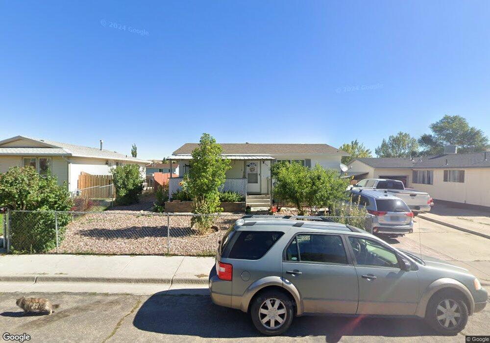
1930 Iowa Cir Green River, WY 82935
Estimated Value: $135,000 - $317,000
3
Beds
2
Baths
1,352
Sq Ft
$188/Sq Ft
Est. Value
About This Home
This home is located at 1930 Iowa Cir, Green River, WY 82935 and is currently estimated at $254,307, approximately $188 per square foot. 1930 Iowa Cir is a home located in Sweetwater County with nearby schools including Harrison Elementary School, Monroe Intermediate School, and Lincoln Middle School.
Ownership History
Date
Name
Owned For
Owner Type
Purchase Details
Closed on
Mar 7, 2015
Sold by
Wilson Jason A
Bought by
Robert Craig D and Cook Tammy S
Current Estimated Value
Home Financials for this Owner
Home Financials are based on the most recent Mortgage that was taken out on this home.
Original Mortgage
$199,500
Outstanding Balance
$152,797
Interest Rate
3.68%
Mortgage Type
New Conventional
Estimated Equity
$101,510
Create a Home Valuation Report for This Property
The Home Valuation Report is an in-depth analysis detailing your home's value as well as a comparison with similar homes in the area
Home Values in the Area
Average Home Value in this Area
Purchase History
| Date | Buyer | Sale Price | Title Company |
|---|---|---|---|
| Robert Craig D | $249,375 | First American Title |
Source: Public Records
Mortgage History
| Date | Status | Borrower | Loan Amount |
|---|---|---|---|
| Open | Robert Craig D | $199,500 |
Source: Public Records
Tax History Compared to Growth
Tax History
| Year | Tax Paid | Tax Assessment Tax Assessment Total Assessment is a certain percentage of the fair market value that is determined by local assessors to be the total taxable value of land and additions on the property. | Land | Improvement |
|---|---|---|---|---|
| 2025 | $1,690 | $16,678 | $3,206 | $13,472 |
| 2024 | $1,690 | $22,821 | $4,275 | $18,546 |
| 2023 | $1,627 | $22,142 | $4,275 | $17,867 |
| 2022 | $1,510 | $20,522 | $4,275 | $16,247 |
| 2021 | $1,441 | $19,562 | $4,275 | $15,287 |
| 2020 | $1,443 | $19,177 | $4,275 | $14,902 |
| 2019 | $1,420 | $18,902 | $4,275 | $14,627 |
| 2018 | $1,436 | $19,083 | $4,275 | $14,808 |
| 2017 | $1,413 | $18,738 | $3,800 | $14,938 |
| 2015 | -- | $16,624 | $0 | $0 |
| 2014 | -- | $15,154 | $0 | $0 |
Source: Public Records
Map
Nearby Homes
- 1905 Iowa Cir
- 1810 Alabama St
- 2315 Mississippi St
- 915 Kansas St
- 2100 Hitching Post Dr
- 520 Sundance Dr
- 2330 New Hampshire St
- 1255 Midwest Dr
- 2320 N Carolina Way
- 2460 W Teton Blvd
- 1240 Elk Mountain Cir
- 520 Cheyenne Dr
- 1415 Winterview Dr
- 1850 E Teton Blvd
- 2040 E Teton Blvd
- 265 Trail Dr
- 1325 Buck Dr
- 115 Commerce Dr
- 700 Shoshone Ave
- 700 Shoshone #49 Ave
- 1930 Iowa Cir Unit Upland
- 1920 Iowa Cir
- 2000 Iowa Cir
- 2010 Iowa Cir
- 2010 Iowa Cir Unit Upland Way
- 1910 Iowa Cir
- 1100 Georgia Way
- 1105 Georgia Way
- 1915 Iowa Cir
- 2015 Iowa Cir
- 1900 Iowa Cir
- 2020 Iowa Cir
- 2020 Iowa Cir Unit Upland Way
- 2025 Iowa Cir
- 2030 Iowa Cir
- 2020 Nevada Place
- 2000 Nevada Place
- 1100 Louisiana Way
- 1115 Georgia Way
- 1810 Iowa Cir