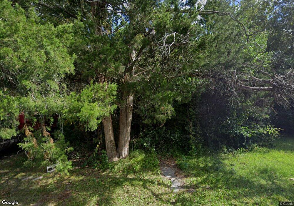
1930 Kirkland St Waycross, GA 31501
Estimated Value: $60,000 - $182,000
--
Bed
1
Bath
1,752
Sq Ft
$71/Sq Ft
Est. Value
About This Home
This home is located at 1930 Kirkland St, Waycross, GA 31501 and is currently estimated at $124,000, approximately $70 per square foot. 1930 Kirkland St is a home located in Ware County with nearby schools including Wacona Elementary School, Ware County Middle School, and Ware County High School.
Ownership History
Date
Name
Owned For
Owner Type
Purchase Details
Closed on
Jun 14, 2024
Sold by
Wilson Kenneth Scott
Bought by
Buchan Jaimie Sturges
Current Estimated Value
Purchase Details
Closed on
Sep 20, 2010
Sold by
Simmons Lefrances
Bought by
Wilson Kenneth Scott
Purchase Details
Closed on
Jun 30, 2003
Sold by
Clifford Lloyd Lle and Clifford Rena
Bought by
Simmons Lefrances
Purchase Details
Closed on
Mar 21, 1997
Sold by
Simmons Lefrances
Bought by
Simmons Lefrances
Purchase Details
Closed on
Feb 27, 1997
Sold by
Wilson H E Mrs
Bought by
Simmons Lefrances
Purchase Details
Closed on
Jan 11, 1996
Bought by
Wilson H E Mrs
Create a Home Valuation Report for This Property
The Home Valuation Report is an in-depth analysis detailing your home's value as well as a comparison with similar homes in the area
Home Values in the Area
Average Home Value in this Area
Purchase History
| Date | Buyer | Sale Price | Title Company |
|---|---|---|---|
| Buchan Jaimie Sturges | $2,000 | -- | |
| Wilson Kenneth Scott | $800 | -- | |
| Simmons Lefrances | $10,800 | -- | |
| Simmons Lefrances | -- | -- | |
| Lee Rena E | -- | -- | |
| Simmons Lefrances | $8,000 | -- | |
| Wilson H E Mrs | -- | -- |
Source: Public Records
Tax History Compared to Growth
Tax History
| Year | Tax Paid | Tax Assessment Tax Assessment Total Assessment is a certain percentage of the fair market value that is determined by local assessors to be the total taxable value of land and additions on the property. | Land | Improvement |
|---|---|---|---|---|
| 2024 | $39 | $1,536 | $1,536 | $0 |
| 2023 | $40 | $747 | $747 | $0 |
| 2022 | $22 | $747 | $747 | $0 |
| 2021 | $23 | $747 | $747 | $0 |
| 2020 | $24 | $747 | $747 | $0 |
| 2019 | $24 | $747 | $747 | $0 |
| 2018 | $24 | $747 | $747 | $0 |
| 2017 | $54 | $1,645 | $747 | $898 |
| 2016 | $54 | $1,645 | $747 | $898 |
| 2015 | $54 | $1,645 | $747 | $898 |
| 2014 | $54 | $1,645 | $747 | $898 |
| 2013 | -- | $1,645 | $747 | $898 |
Source: Public Records
Map
Nearby Homes
- 1924 Kirkland St
- 1934 Kirkland St
- 1920 Kirkland St
- 1921 Kirkland St
- 1925 Kirkland St
- 1927 State St
- 1917 Kirkland St
- 1937 Kirkland St
- 1925 State St
- 1937 Ossie Davis Pkwy
- 1931 State St
- 2150 Monroe Ave
- 1910 Kirkland St
- 1937 State St
- 1941 State St
- 1945 State St
- 1902 Kirkland St
- 1945 Ossie Davis Pkwy
- 1932 Abc Ave
- 1940 Abc Ave