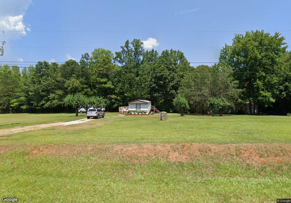
1930 Orr Rd Mc Connells, SC 29726
Estimated Value: $64,546 - $286,000
Studio
--
Bath
1,064
Sq Ft
$162/Sq Ft
Est. Value
About This Home
This home is located at 1930 Orr Rd, Mc Connells, SC 29726 and is currently estimated at $172,137, approximately $161 per square foot. 1930 Orr Rd is a home located in York County with nearby schools including Jefferson Elementary School, York Intermediate School, and York Middle School.
Ownership History
Date
Name
Owned For
Owner Type
Purchase Details
Closed on
Apr 21, 2022
Sold by
Lemmons Phil R
Bought by
Lemmons Ricky L
Current Estimated Value
Purchase Details
Closed on
Mar 9, 2020
Sold by
Lemmons Phil R
Bought by
Lemmons Phil R
Purchase Details
Closed on
Dec 6, 2011
Sold by
Founders Federal Credit Union
Bought by
Lemmons Phillip R and Lemmons Sally B
Purchase Details
Closed on
Jan 4, 2011
Sold by
Whetstine Paul Mark
Bought by
Founders Federal Credit Union
Create a Home Valuation Report for This Property
The Home Valuation Report is an in-depth analysis detailing your home's value as well as a comparison with similar homes in the area
Home Values in the Area
Average Home Value in this Area
Purchase History
| Date | Buyer | Sale Price | Title Company |
|---|---|---|---|
| Lemmons Ricky L | -- | None Listed On Document | |
| Lemmons Phil R | -- | None Available | |
| Lemmons Phillip R | $33,000 | -- | |
| Founders Federal Credit Union | $500 | -- |
Source: Public Records
Tax History
| Year | Tax Paid | Tax Assessment Tax Assessment Total Assessment is a certain percentage of the fair market value that is determined by local assessors to be the total taxable value of land and additions on the property. | Land | Improvement |
|---|---|---|---|---|
| 2025 | $854 | $1,966 | $1,356 | $610 |
| 2024 | $734 | $1,710 | $900 | $810 |
| 2023 | $725 | $1,710 | $900 | $810 |
| 2022 | $696 | $1,710 | $900 | $810 |
| 2021 | -- | $1,710 | $900 | $810 |
| 2020 | $677 | $1,710 | $0 | $0 |
| 2019 | $766 | $1,860 | $0 | $0 |
| 2018 | $740 | $1,860 | $0 | $0 |
| 2017 | $711 | $1,860 | $0 | $0 |
| 2016 | $698 | $1,860 | $0 | $0 |
| 2014 | $183 | $1,860 | $960 | $900 |
| 2013 | $183 | $1,830 | $840 | $990 |
Source: Public Records
Map
Nearby Homes
- 1865 McConnells Hwy W
- 1951 McConnells Hwy W
- 150 Orindawood Rd
- 277 True Rd
- 00 Pathway Ln
- 000 Peacehaven Rd Unit 1
- 000 Creekside Dr Unit 65,66,67
- 2420 Creekside Dr
- 1302 Bryson Creek Dr
- 1334 Bryson Creek Dr
- 1265 N Burris Rd
- 1348 Bryson Creek Dr
- 2262 Center Rd
- 605 Colony Rd
- 1409 Clayton Dr
- 4083 Hord Rd
- 00 Hord Rd
- 3724 Wilson Chapel Rd
- 777 Pollys Cir
- 5315 McConnells Hwy
Your Personal Tour Guide
Ask me questions while you tour the home.