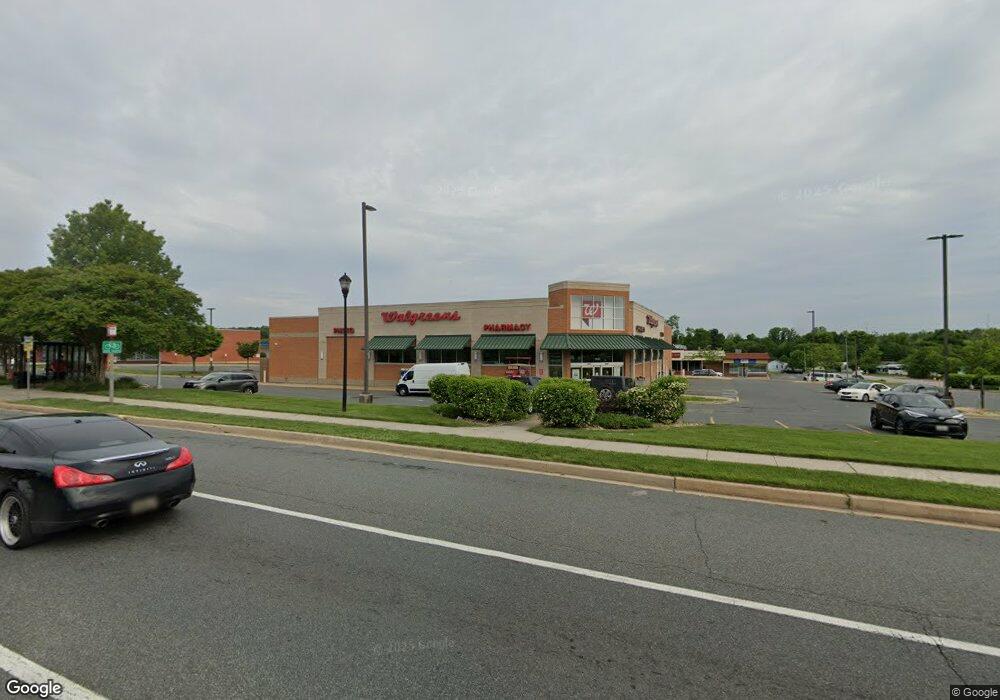
1930 Pulaski Hwy Edgewood, MD 21040
Estimated Value: $6,896,801
--
Bed
--
Bath
14,735
Sq Ft
$468/Sq Ft
Est. Value
About This Home
This home is located at 1930 Pulaski Hwy, Edgewood, MD 21040 and is currently estimated at $6,896,801, approximately $468 per square foot. 1930 Pulaski Hwy is a home located in Harford County with nearby schools including William Paca/Old Post Road Elementary School, Edgewood Middle School, and Edgewood High School.
Ownership History
Date
Name
Owned For
Owner Type
Purchase Details
Closed on
Aug 28, 2007
Sold by
Carriage Property Llc
Bought by
Carriage Property Llc
Current Estimated Value
Purchase Details
Closed on
Jul 17, 2006
Sold by
Red Leaf&Edgewood Llc
Bought by
Carriage Property Llc
Purchase Details
Closed on
Jun 28, 2006
Sold by
Red Leaf&Edgewood Llc
Bought by
Carriage Property Llc
Purchase Details
Closed on
Dec 1, 2004
Sold by
Edgewood Group Llc
Bought by
Red Lea
Purchase Details
Closed on
Nov 10, 2004
Sold by
Edgewood Group Llc
Bought by
Edgewood Group Llc
Create a Home Valuation Report for This Property
The Home Valuation Report is an in-depth analysis detailing your home's value as well as a comparison with similar homes in the area
Home Values in the Area
Average Home Value in this Area
Purchase History
| Date | Buyer | Sale Price | Title Company |
|---|---|---|---|
| Carriage Property Llc | -- | -- | |
| Carriage Property Llc | $5,126,000 | -- | |
| Carriage Property Llc | $5,126,000 | -- | |
| Red Lea | $1,050,000 | -- | |
| Edgewood Group Llc | -- | -- |
Source: Public Records
Tax History Compared to Growth
Tax History
| Year | Tax Paid | Tax Assessment Tax Assessment Total Assessment is a certain percentage of the fair market value that is determined by local assessors to be the total taxable value of land and additions on the property. | Land | Improvement |
|---|---|---|---|---|
| 2025 | $36,206 | $3,729,667 | $0 | $0 |
| 2024 | $36,206 | $3,321,933 | $0 | $0 |
| 2023 | $31,762 | $2,914,200 | $1,042,000 | $1,872,200 |
| 2022 | $31,762 | $2,914,200 | $1,042,000 | $1,872,200 |
| 2021 | $33,630 | $2,914,200 | $1,042,000 | $1,872,200 |
| 2020 | $33,630 | $2,914,200 | $1,042,000 | $1,872,200 |
| 2019 | $33,531 | $2,905,667 | $0 | $0 |
| 2018 | $33,131 | $2,897,133 | $0 | $0 |
| 2017 | $33,033 | $2,888,600 | $0 | $0 |
| 2016 | $350 | $2,888,600 | $0 | $0 |
| 2015 | $26,727 | $2,888,600 | $0 | $0 |
| 2014 | $26,727 | $3,168,200 | $0 | $0 |
Source: Public Records
Map
Nearby Homes
- 1806 Sandee Ct
- 1718 Judy Way
- 1863 Brookside Dr
- 1875 Brookside Dr
- 1002 Magnolia Woods Ct Unit E
- 2003 Magnolia Woods Ct Unit C
- 1808 Steven Dr
- 1968 Chipper Dr
- 2005 Magnolia Woods Ct Unit L
- 2002 David Dr
- 2018 Kenny Ct
- 1701 Fountain Rock Way Unit C
- 901 Swallow Crest Ct Unit 901-K
- 904 Swallow Crest Ct Unit M
- 1304 Clover Valley Way
- 1730 Fountain Rock Way Unit C
- 1719 B Fountain Rock Way Unit 1719-B
- 903 Woodbridge Ct Unit L
- 1302 Clover Valley Way Unit D
- 1303-L Cedar Crest Ct Unit 1303-L
- 1906A Pulaski Hwy
- 1950 Pulaski Hwy
- 1945 Pulaski Hwy
- 1111 Chipper Dr
- 1113 Chipper Dr
- 1952 Pulaski Hwy
- 1115 Paul Martin Dr
- 1901 Tree Top Dr
- 1117 Chipper Dr
- 1900 Pulaski Hwy
- 1206 Paul Martin Dr
- 1208 Paul Martin Dr
- 1940 Michael Dr
- 1121 Chipper Dr
- 1840 Grempler Way
- 1842 Grempler Way
- 1844 Grempler Way
- 1846 Grempler Way
- 1848 Grempler Way
- 1850 Grempler Way