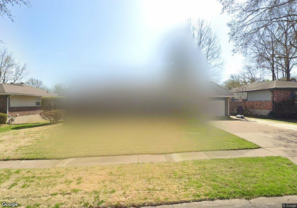
1930 Pyrenees Dr Florissant, MO 63033
Estimated Value: $234,760 - $266,000
4
Beds
2
Baths
1,824
Sq Ft
$139/Sq Ft
Est. Value
About This Home
This home is located at 1930 Pyrenees Dr, Florissant, MO 63033 and is currently estimated at $254,190, approximately $139 per square foot. 1930 Pyrenees Dr is a home located in St. Louis County with nearby schools including Halls Ferry Elementary School, Cross Keys Middle School, and McCluer North High School.
Ownership History
Date
Name
Owned For
Owner Type
Purchase Details
Closed on
Jun 27, 2005
Sold by
Days Yvonne D and Patton Anthony R
Bought by
Taylor Brian D and Taylor Charmaine
Current Estimated Value
Home Financials for this Owner
Home Financials are based on the most recent Mortgage that was taken out on this home.
Original Mortgage
$175,000
Outstanding Balance
$90,595
Interest Rate
5.63%
Mortgage Type
Fannie Mae Freddie Mac
Estimated Equity
$163,595
Purchase Details
Closed on
Apr 2, 2001
Sold by
Coy Patricia A and Coy Buford Darwin Rusty
Bought by
Days Yvonne D
Home Financials for this Owner
Home Financials are based on the most recent Mortgage that was taken out on this home.
Original Mortgage
$87,000
Interest Rate
7%
Purchase Details
Closed on
May 5, 1999
Sold by
Coy Thomas A and Coy Patricia A
Bought by
Coy Buford and Coy Gary
Create a Home Valuation Report for This Property
The Home Valuation Report is an in-depth analysis detailing your home's value as well as a comparison with similar homes in the area
Home Values in the Area
Average Home Value in this Area
Purchase History
| Date | Buyer | Sale Price | Title Company |
|---|---|---|---|
| Taylor Brian D | $175,000 | Fa | |
| Days Yvonne D | $127,000 | -- | |
| Days Yvonne D | -- | -- | |
| Coy Buford | -- | -- |
Source: Public Records
Mortgage History
| Date | Status | Borrower | Loan Amount |
|---|---|---|---|
| Open | Taylor Brian D | $175,000 | |
| Previous Owner | Days Yvonne D | $87,000 |
Source: Public Records
Tax History Compared to Growth
Tax History
| Year | Tax Paid | Tax Assessment Tax Assessment Total Assessment is a certain percentage of the fair market value that is determined by local assessors to be the total taxable value of land and additions on the property. | Land | Improvement |
|---|---|---|---|---|
| 2025 | $3,275 | $45,560 | $5,260 | $40,300 |
| 2024 | $3,275 | $40,600 | $4,580 | $36,020 |
| 2023 | $3,256 | $40,600 | $4,580 | $36,020 |
| 2022 | $2,853 | $31,200 | $3,520 | $27,680 |
| 2021 | $2,680 | $31,200 | $3,520 | $27,680 |
| 2020 | $2,475 | $27,020 | $4,580 | $22,440 |
| 2019 | $2,424 | $27,020 | $4,580 | $22,440 |
| 2018 | $2,378 | $23,820 | $3,150 | $20,670 |
| 2017 | $2,365 | $23,820 | $3,150 | $20,670 |
| 2016 | $2,224 | $21,740 | $3,520 | $18,220 |
| 2015 | $2,233 | $21,740 | $3,520 | $18,220 |
| 2014 | $2,133 | $20,660 | $4,600 | $16,060 |
Source: Public Records
Map
Nearby Homes
- 2010 Cordoba Dr
- 3680 Pyrenees Dr
- 2130 Barcelona Dr
- 1670 Aqueduct Dr
- 1805 Aqueduct Dr
- 3870 Woodcrest Dr
- 3420 Rockingham Dr
- 2065 Carefree Ln Unit G
- 3181 Carefree Ln Unit A
- 3722 Candlewyck Club Dr Unit D
- 20 Hiddenbrook Dr
- Lot 6 Wildridge Estates
- 1540 Ascot Terrace
- 3707 Candlewyck Club Dr Unit C
- 3 Wild Ridge Estates Turnberry Ct
- 3614 Candlewyck Club Dr Unit E
- 3524 Candlebrook Ct
- 0TBB Wild Ridge Hazeltine
- 0 Wild Ridge Sawgrass
- 0 Wild Ridge Pikewood Unit MAR23017155
- 1950 Pyrenees Dr
- 1910 Pyrenees Dr
- 1970 Pyrenees Dr
- 1890 Pyrenees Dr
- 1925 Pyrenees Dr
- 1955 Pyrenees Dr
- 1895 Pyrenees Dr
- 1975 Pyrenees Dr
- 1980 Pyrenees Dr
- 1870 Pyrenees Dr
- 1875 Pyrenees Dr
- 3760 Santiago Dr
- 1930 Cordoba Dr
- 1950 Cordoba Dr
- 1910 Cordoba Dr
- 2010 Pyrenees Dr
- 1860 Pyrenees Dr
- 3740 Santiago Dr
- 1865 Pyrenees Dr
- 1890 Cordoba Dr