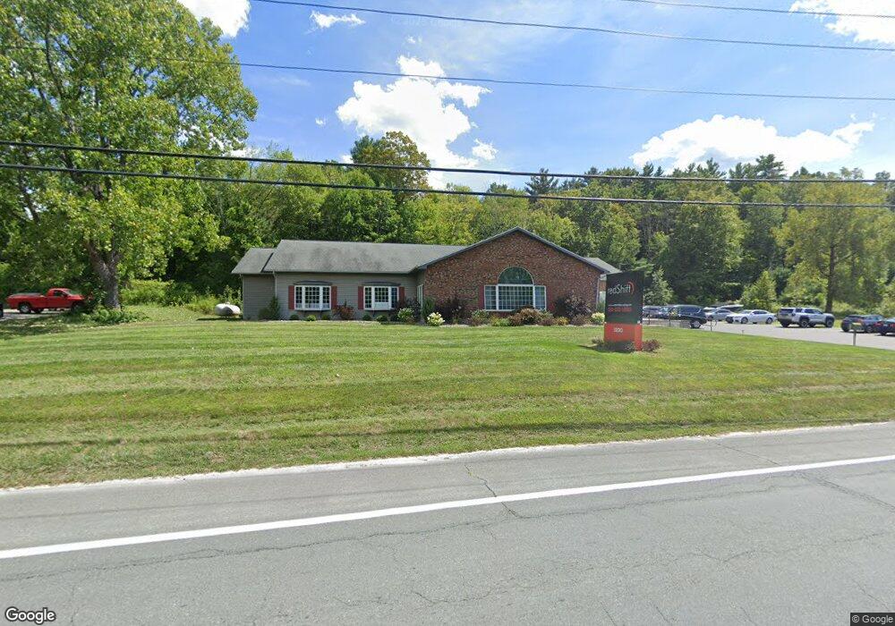
1930 Route 9 Castleton On Hudson, NY 12033
Estimated Value: $635,279
--
Bed
--
Bath
4,080
Sq Ft
$156/Sq Ft
Est. Value
About This Home
This home is located at 1930 Route 9, Castleton On Hudson, NY 12033 and is currently estimated at $635,279, approximately $155 per square foot. 1930 Route 9 is a home located in Rensselaer County with nearby schools including Green Meadow School, Howard L Goff School, and Columbia High School.
Ownership History
Date
Name
Owned For
Owner Type
Purchase Details
Closed on
Nov 26, 2019
Sold by
Neiman Herbert B
Bought by
Sterantino and Thomas Hldg
Current Estimated Value
Home Financials for this Owner
Home Financials are based on the most recent Mortgage that was taken out on this home.
Original Mortgage
$400,000
Outstanding Balance
$353,347
Interest Rate
3.7%
Mortgage Type
Stand Alone Refi Refinance Of Original Loan
Estimated Equity
$281,932
Purchase Details
Closed on
Aug 26, 2016
Sold by
Direnzo Guardianship Llc
Bought by
Neiman Herbert
Purchase Details
Closed on
Dec 19, 2013
Sold by
Neiman Herbert B
Bought by
Direnzo Guardianship Llc
Create a Home Valuation Report for This Property
The Home Valuation Report is an in-depth analysis detailing your home's value as well as a comparison with similar homes in the area
Home Values in the Area
Average Home Value in this Area
Purchase History
| Date | Buyer | Sale Price | Title Company |
|---|---|---|---|
| Sterantino | $400,000 | None Available | |
| Neiman Herbert | $325,628 | Thomas Hall | |
| Neiman Herbert | $325,628 | Thomas Hall | |
| Direnzo Guardianship Llc | $400,000 | Kevin Wade | |
| Direnzo Guardianship Llc | $400,000 | Kevin Wade |
Source: Public Records
Mortgage History
| Date | Status | Borrower | Loan Amount |
|---|---|---|---|
| Open | Sterantino | $400,000 | |
| Closed | Sterantino | $400,000 |
Source: Public Records
Tax History Compared to Growth
Tax History
| Year | Tax Paid | Tax Assessment Tax Assessment Total Assessment is a certain percentage of the fair market value that is determined by local assessors to be the total taxable value of land and additions on the property. | Land | Improvement |
|---|---|---|---|---|
| 2024 | $10,565 | $441,733 | $30,500 | $411,233 |
| 2023 | $12,060 | $345,000 | $30,500 | $314,500 |
| 2022 | $12,683 | $345,000 | $30,500 | $314,500 |
| 2021 | $12,377 | $345,000 | $30,500 | $314,500 |
| 2020 | $13,153 | $345,000 | $30,500 | $314,500 |
| 2019 | $12,527 | $345,000 | $30,500 | $314,500 |
| 2018 | $12,527 | $345,000 | $30,500 | $314,500 |
| 2017 | $12,389 | $345,000 | $30,500 | $314,500 |
| 2016 | $12,417 | $345,000 | $30,500 | $314,500 |
| 2015 | -- | $345,000 | $30,500 | $314,500 |
| 2014 | -- | $345,000 | $30,500 | $314,500 |
Source: Public Records
Map
Nearby Homes
- 1709 Julianne Dr
- 1876 Dover Ln
- 2 Strawberry Fields Dr
- L2 S Old Post Rd
- 3 Strawberry Fields Dr
- 5 Strawberry Fields Dr
- 2342 Reno Rd
- 27 Woodland Dr
- 2 Farm View Dr
- 124 Schuurman Rd
- 24 Estate Dr
- 84 Schuurman Rd
- 1336 Partridge Dr
- 1631 Tina Ln
- 20 Orchard Rd
- L1 Northern Blvd
- 3815 U S 20
- 1368 Sunset Rd
- 380-382 Lape Rd
- 190 Miller Rd
- 1930 U S 9
- 1940 U S 9
- 1950 Route 9
- 4293 Us Highway 20
- 4291 Us Highway 20
- 1059 U S 20
- 4267 U S 20
- 4267 Us Rte 20
- 4267 State Route 20
- 4265 State Route 20
- 1842 Columbia Turnpike
- 4267 Us Rt 20
- 4294 Us Rt 20
- 4266 State Route 20
- 4266 Us Route 20
- 4266 - 4268 Us Route 20
- 4266-4268 Us Route 20
- 1836 Columbia Turnpike
- 4255 Us Rt 20
- 4255 Highway 20