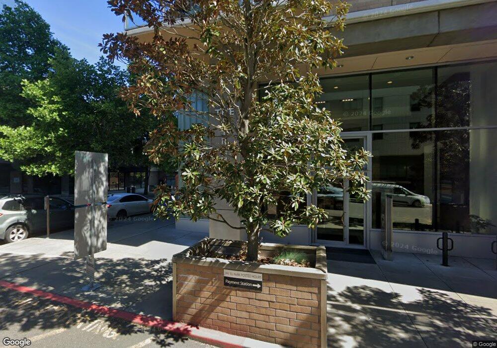
The Strand 1930 S River Dr Unit 306 Portland, OR 97201
Downtown Portland NeighborhoodEstimated Value: $371,475 - $522,000
1
Bed
1
Bath
1,033
Sq Ft
$414/Sq Ft
Est. Value
About This Home
This home is located at 1930 S River Dr Unit 306, Portland, OR 97201 and is currently estimated at $427,619, approximately $413 per square foot. 1930 S River Dr Unit 306 is a home located in Multnomah County with nearby schools including Ainsworth Elementary School, West Sylvan Middle School, and Lincoln High School.
Ownership History
Date
Name
Owned For
Owner Type
Purchase Details
Closed on
Sep 30, 2011
Sold by
Shea Charles A
Bought by
Lewis James E and Lewis Sandra P
Current Estimated Value
Purchase Details
Closed on
Aug 4, 2008
Sold by
Burget Sally Gail
Bought by
Burget Sally Gail and Sally Gail Burget Lifetime Trust
Purchase Details
Closed on
Dec 18, 2006
Sold by
Riverplace Partners Llc
Bought by
Burget Sally Gail
Home Financials for this Owner
Home Financials are based on the most recent Mortgage that was taken out on this home.
Original Mortgage
$389,000
Interest Rate
6.67%
Mortgage Type
Credit Line Revolving
Create a Home Valuation Report for This Property
The Home Valuation Report is an in-depth analysis detailing your home's value as well as a comparison with similar homes in the area
Home Values in the Area
Average Home Value in this Area
Purchase History
| Date | Buyer | Sale Price | Title Company |
|---|---|---|---|
| Lewis James E | $320,000 | Fidelity Natl Title Co Of Or | |
| Burget Sally Gail | -- | None Available | |
| Burget Sally Gail | $449,000 | Fidelity National Title Co |
Source: Public Records
Mortgage History
| Date | Status | Borrower | Loan Amount |
|---|---|---|---|
| Previous Owner | Burget Sally Gail | $389,000 |
Source: Public Records
Tax History Compared to Growth
Tax History
| Year | Tax Paid | Tax Assessment Tax Assessment Total Assessment is a certain percentage of the fair market value that is determined by local assessors to be the total taxable value of land and additions on the property. | Land | Improvement |
|---|---|---|---|---|
| 2024 | $6,870 | $321,660 | -- | $321,660 |
| 2023 | $8,138 | $312,300 | $0 | $312,300 |
| 2022 | $8,089 | $303,210 | $0 | $0 |
| 2021 | $7,810 | $294,380 | $0 | $0 |
| 2020 | $7,294 | $285,810 | $0 | $0 |
| 2019 | $7,026 | $277,490 | $0 | $0 |
| 2018 | $6,820 | $269,410 | $0 | $0 |
| 2017 | $6,536 | $261,570 | $0 | $0 |
| 2016 | $5,981 | $253,960 | $0 | $0 |
| 2015 | $5,825 | $246,570 | $0 | $0 |
| 2014 | $5,728 | $239,390 | $0 | $0 |
Source: Public Records
About The Strand
Map
Nearby Homes
- 1920 S River Dr Unit 1204
- 1920 S River Dr Unit E601
- 1920 S River Dr Unit E102
- 1920 S River Dr Unit E804
- 1920 S River Dr Unit E706
- 1930 S River Dr Unit W1001
- 1930 S River Dr Unit W506
- 1930 S River Dr Unit W504
- 1930 S River Dr Unit W1003
- 1930 S River Dr Unit W502
- 1930 S River Dr Unit W107
- 1900 S River Dr Unit N402
- 1900 S River Dr Unit N1004
- 305 S Montgomery St Unit F409
- 305 S Montgomery St Unit 508/507
- 305 S Montgomery St Unit 404
- 205 S Montgomery St Unit B204
- 205 S Montgomery St Unit 401
- 1710 S Harbor Way Unit 202
- 1616 S Harbor Way Unit 308
- 1930 S River Dr Unit 606
- 1930 S River Dr Unit W104
- 1930 S River Dr Unit 1103
- 1930 S River Dr Unit W105
- 1930 S River Dr Unit W604
- 1930 S River Dr Unit W203
- 1930 S River Dr Unit 202
- 1930 S River Dr Unit W403
- 1930 S River Dr Unit W907
- 1930 S River Dr
- 1930 S River Dr Unit 603
- 1930 S River Dr Unit W301
- 1930 S River Dr Unit W103
- 1930 S River Dr Unit W405
- 1930 S River Dr Unit W805
- 1930 S River Dr Unit W205
- 1930 S River Dr Unit W706
- 1930 S River Dr Unit W905
- 1930 S River Dr Unit W401
- 1930 S River Dr Unit W602