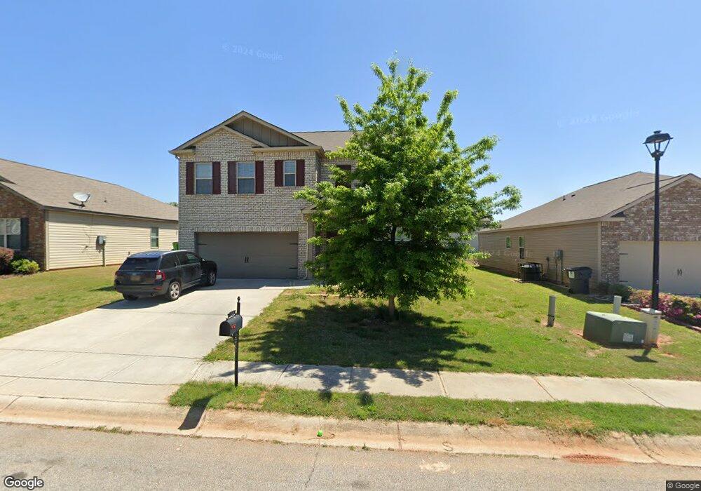
1930 Sea Oats Dr Hampton, GA 30228
Estimated Value: $323,000 - $354,000
5
Beds
3
Baths
3,044
Sq Ft
$110/Sq Ft
Est. Value
About This Home
This home is located at 1930 Sea Oats Dr, Hampton, GA 30228 and is currently estimated at $335,600, approximately $110 per square foot. 1930 Sea Oats Dr is a home with nearby schools including Michelle Obama STEM Elementary Academy, Eddie White Academy, and Lovejoy High School.
Ownership History
Date
Name
Owned For
Owner Type
Purchase Details
Closed on
Apr 28, 2017
Sold by
Dr Horton Inc
Bought by
Duncan Adriana
Current Estimated Value
Home Financials for this Owner
Home Financials are based on the most recent Mortgage that was taken out on this home.
Original Mortgage
$169,856
Outstanding Balance
$141,833
Interest Rate
4.25%
Mortgage Type
FHA
Estimated Equity
$193,767
Purchase Details
Closed on
Mar 10, 2016
Sold by
Geosam Capital Us Atlanta Lp
Bought by
Dr Horton Inc
Purchase Details
Closed on
Nov 7, 2012
Sold by
Charles M Shelton Of Ca
Bought by
Overlook Lots Llc
Create a Home Valuation Report for This Property
The Home Valuation Report is an in-depth analysis detailing your home's value as well as a comparison with similar homes in the area
Home Values in the Area
Average Home Value in this Area
Purchase History
| Date | Buyer | Sale Price | Title Company |
|---|---|---|---|
| Duncan Adriana | $172,990 | -- | |
| Dr Horton Inc | $264,621 | -- | |
| Overlook Lots Llc | $46,000 | -- |
Source: Public Records
Mortgage History
| Date | Status | Borrower | Loan Amount |
|---|---|---|---|
| Open | Duncan Adriana | $169,856 |
Source: Public Records
Tax History Compared to Growth
Tax History
| Year | Tax Paid | Tax Assessment Tax Assessment Total Assessment is a certain percentage of the fair market value that is determined by local assessors to be the total taxable value of land and additions on the property. | Land | Improvement |
|---|---|---|---|---|
| 2024 | $5,551 | $142,280 | $10,400 | $131,880 |
| 2023 | $5,105 | $141,400 | $10,400 | $131,000 |
| 2022 | $4,705 | $119,880 | $10,400 | $109,480 |
| 2021 | $3,472 | $87,920 | $10,400 | $77,520 |
| 2020 | $3,245 | $81,134 | $10,400 | $70,734 |
| 2019 | $3,261 | $80,334 | $9,600 | $70,734 |
| 2018 | $2,809 | $69,196 | $9,600 | $59,596 |
| 2017 | $359 | $8,821 | $8,821 | $0 |
| 2016 | $60 | $1,480 | $1,480 | $0 |
| 2015 | $59 | $0 | $0 | $0 |
| 2014 | $325 | $9,600 | $9,600 | $0 |
Source: Public Records
Map
Nearby Homes
- 2017 Sawgrass Dr
- 2234 Sawgrass Dr
- 1756 Beckworth Ln
- 1869 Dalton Way
- 1768 Glen View Way
- 11447 S Grove Dr
- 1737 Fielding Way
- 11435 S Grove Dr
- 1785 Fielding Way
- 1938 Bertha Ct
- 11532 Ethan Ct
- 1538 Woodvale St
- 11569 Kades Trail
- 1915 Grove Way
- 11569 Kimberly Way
- 11854 Registry Blvd
- Aspen Plan at The Enclave Townhomes
- 11543 Kimberly Way Unit LOT 15
- 11533 Kimberly Way Unit LOT 10
- 11533 Kimberly Way
- 1924 Sea Oats Dr
- 1936 Sea Oats Dr Unit 206
- 1936 Sea Oats Dr
- 1925 Sea Oats Dr
- 1918 Sea Oats Dr
- 1927 Sawgrass Dr
- 1942 Sea Oats Dr
- 1921 Sawgrass Dr
- 1933 Sawgrass Dr
- 1931 Sea Oats Dr
- 1919 Sea Oats Dr
- 1915 Sawgrass Dr
- 1939 Sawgrass Dr
- 1912 Sea Oats Dr
- 1948 Sea Oats Dr
- 1948 Sea Oats Dr Unit 204
- 1913 Sea Oats Dr
- 1945 Sawgrass Dr
- 2009 Osprey Dr
- 1906 Sea Oats Dr Unit 211