1930 Stonesthrow Rd Bethlehem, PA 18015
Upper Saucon Township NeighborhoodEstimated Value: $939,814 - $984,000
3
Beds
3
Baths
3,332
Sq Ft
$289/Sq Ft
Est. Value
About This Home
This home is located at 1930 Stonesthrow Rd, Bethlehem, PA 18015 and is currently estimated at $961,605, approximately $288 per square foot. 1930 Stonesthrow Rd is a home located in Lehigh County with nearby schools including Southern Lehigh High School, Arts Academy Charter Middle School, and St Michael the Archangel School.
Ownership History
Date
Name
Owned For
Owner Type
Purchase Details
Closed on
Aug 28, 2020
Sold by
Bartakovits Barry and Bartakovits Sharon
Bought by
Jao Lehigh Llc
Current Estimated Value
Purchase Details
Closed on
Jun 20, 2018
Sold by
Bartakovits Barry and Bartakovits Sharon
Bought by
Bartakovits Barry and Bartakovits Sharon
Purchase Details
Closed on
Sep 13, 2017
Sold by
Brown Barbara J
Bought by
Bartakovits Barry and Bartakovits Sharon
Purchase Details
Closed on
Jan 23, 2014
Sold by
Brown Ronald C and Brown Barbarea J
Bought by
Brown Barbara J
Purchase Details
Closed on
Jul 20, 1999
Sold by
Land Daniel W and Land Margaret C
Bought by
Brown Ronald C and Brown Barbara J
Purchase Details
Closed on
Jun 5, 1989
Bought by
Land Daniel W and Land Margaret C
Create a Home Valuation Report for This Property
The Home Valuation Report is an in-depth analysis detailing your home's value as well as a comparison with similar homes in the area
Home Values in the Area
Average Home Value in this Area
Purchase History
| Date | Buyer | Sale Price | Title Company |
|---|---|---|---|
| Jao Lehigh Llc | $638,464 | None Available | |
| Bartakovits Barry | -- | None Available | |
| Bartakovits Barry | $460,000 | None Available | |
| Brown Barbara J | -- | None Available | |
| Brown Ronald C | $370,000 | -- | |
| Land Daniel W | $112,500 | -- |
Source: Public Records
Tax History Compared to Growth
Tax History
| Year | Tax Paid | Tax Assessment Tax Assessment Total Assessment is a certain percentage of the fair market value that is determined by local assessors to be the total taxable value of land and additions on the property. | Land | Improvement |
|---|---|---|---|---|
| 2025 | $11,315 | $498,800 | $126,300 | $372,500 |
| 2024 | $11,315 | $498,800 | $126,300 | $372,500 |
| 2023 | $11,177 | $498,800 | $126,300 | $372,500 |
| 2022 | $11,013 | $498,800 | $372,500 | $126,300 |
| 2021 | $10,767 | $498,800 | $126,300 | $372,500 |
| 2020 | $10,559 | $498,800 | $126,300 | $372,500 |
| 2019 | $10,123 | $486,000 | $126,600 | $359,400 |
| 2018 | $10,123 | $486,000 | $126,600 | $359,400 |
| 2017 | $10,026 | $486,000 | $126,600 | $359,400 |
| 2016 | -- | $486,000 | $126,600 | $359,400 |
| 2015 | -- | $486,000 | $126,600 | $359,400 |
| 2014 | -- | $486,000 | $126,600 | $359,400 |
Source: Public Records
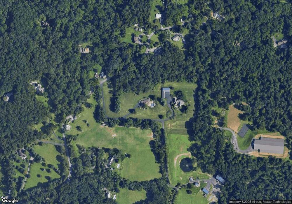
Map
Nearby Homes
- 0 Strauss Ln Unit 1 759755
- 2212 S Melrose Ave
- 4252 Stonebridge Dr
- 4244 Stonebridge Dr
- 4260 Stonebridge Dr
- 2209 S Melrose Ln
- 4268 Stonebridge Dr
- 4276 Stonebridge Dr
- 4228 Stonebridge Dr
- 3689 Fire Ln
- 4220 Stonebridge Dr
- 4287 Stonebridge Dr
- 4212 Stonebridge Dr
- 4299 Stonebridge Dr
- 4303 Stonebridge Dr
- 4319 Stonebridge Dr
- 1940 Stonesthrow Rd
- 1796 Stonesthrow Rd
- 1939 Stonesthrow Rd
- 2080 Stonesthrow Rd
- 1857 Stonesthrow Rd
- 1754 Stonesthrow Rd
- 1728 Stonesthrow Rd
- 1975 Stonesthrow Rd
- 2016 Stonesthrow Rd
- 1787 Stonesthrow Rd
- 1712 Stonesthrow Rd
- 1749 Stonesthrow Rd
- 2091 Stonesthrow Rd
- 1702 Stonesthrow Rd
- 2001 Stonesthrow Rd
- 2114 Stonesthrow Rd
- 1686 Stonesthrow Rd
- 1920 Black River Rd
- 2175 Stonesthrow Rd
- 2053 Stonesthrow Rd