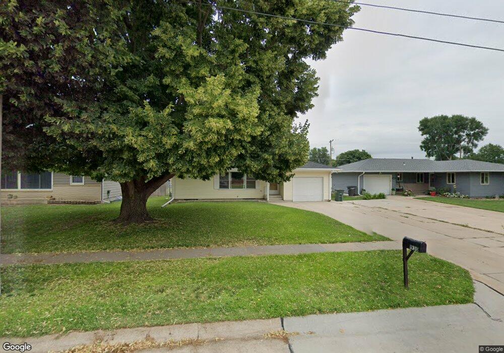
1930 W 9th St Hastings, NE 68901
Estimated Value: $212,350 - $218,000
3
Beds
2
Baths
1,036
Sq Ft
$208/Sq Ft
Est. Value
About This Home
This home is located at 1930 W 9th St, Hastings, NE 68901 and is currently estimated at $215,838, approximately $208 per square foot. 1930 W 9th St is a home located in Adams County with nearby schools including Hastings Senior High School, St. Michael's Preschool & Elementary School, and Zion Lutheran School.
Ownership History
Date
Name
Owned For
Owner Type
Purchase Details
Closed on
Feb 14, 2022
Sold by
Karr Darren A and Karr Elizabeth
Bought by
Schnase Thomas F and Gangwish Makenzi J
Current Estimated Value
Purchase Details
Closed on
Feb 28, 2009
Sold by
Karr Gloria Ann and Brinkmeyer Vivian Sue
Bought by
Karr Darren A
Home Financials for this Owner
Home Financials are based on the most recent Mortgage that was taken out on this home.
Original Mortgage
$101,134
Interest Rate
5.13%
Mortgage Type
FHA
Create a Home Valuation Report for This Property
The Home Valuation Report is an in-depth analysis detailing your home's value as well as a comparison with similar homes in the area
Home Values in the Area
Average Home Value in this Area
Purchase History
| Date | Buyer | Sale Price | Title Company |
|---|---|---|---|
| Schnase Thomas F | $180,000 | New Title Company Name | |
| Karr Darren A | $103,000 | None Available |
Source: Public Records
Mortgage History
| Date | Status | Borrower | Loan Amount |
|---|---|---|---|
| Previous Owner | Karr Darren A | $101,134 |
Source: Public Records
Tax History Compared to Growth
Tax History
| Year | Tax Paid | Tax Assessment Tax Assessment Total Assessment is a certain percentage of the fair market value that is determined by local assessors to be the total taxable value of land and additions on the property. | Land | Improvement |
|---|---|---|---|---|
| 2024 | $2,667 | $166,987 | $21,068 | $145,919 |
| 2023 | $3,262 | $158,105 | $21,068 | $137,037 |
| 2022 | $2,804 | $124,497 | $21,068 | $103,429 |
| 2021 | $2,556 | $116,544 | $17,093 | $99,451 |
| 2020 | $2,411 | $111,808 | $17,093 | $94,715 |
| 2019 | $2,236 | $104,792 | $17,093 | $87,699 |
| 2018 | $2,123 | $99,000 | $11,925 | $87,075 |
| 2017 | $2,085 | $97,295 | $0 | $0 |
| 2016 | $1,967 | $91,710 | $11,925 | $79,785 |
| 2011 | -- | $83,440 | $11,130 | $72,310 |
Source: Public Records
Map
Nearby Homes
- 1911 W 11th St
- 1814 Boyce St
- 1513 Crane Ave
- 1505 Crane Ave
- 736 N Barnes Ave
- 711 Crane Ave
- 2229 W 8th St
- 1619 Boyce St
- 2330 W 11th St
- 1225 Heritage Dr
- 1201 Pershing Rd
- 2301 Bateman Ave
- 1801 W 7th St
- 2416 W 9th St
- 904 N Washington Ave
- 2501 W 10th St
- 514 Oswego Ave
- 1911 W 5th St
- 1615 W 7th St
- 2521 Boyce St