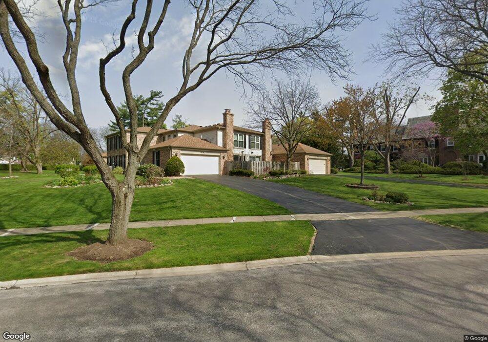
1930 Wexford Cir Unit 420 Wheaton, IL 60189
West Wheaton NeighborhoodEstimated Value: $456,011 - $635,000
--
Bed
2
Baths
2,203
Sq Ft
$237/Sq Ft
Est. Value
About This Home
This home is located at 1930 Wexford Cir Unit 420, Wheaton, IL 60189 and is currently estimated at $522,753, approximately $237 per square foot. 1930 Wexford Cir Unit 420 is a home located in DuPage County with nearby schools including Madison Elementary School, Edison Middle School, and Wheaton Warrenville South High School.
Ownership History
Date
Name
Owned For
Owner Type
Purchase Details
Closed on
Feb 19, 2016
Sold by
Roche Christine M and Roche Segneri Claudia
Bought by
Roche Christine M and Christine M Roche Trust
Current Estimated Value
Purchase Details
Closed on
Feb 26, 2010
Sold by
Roche Michael G
Bought by
Roche Michael G
Purchase Details
Closed on
Apr 12, 2002
Sold by
Saunders Gary M
Bought by
Roche Michael and Roche Christine M
Create a Home Valuation Report for This Property
The Home Valuation Report is an in-depth analysis detailing your home's value as well as a comparison with similar homes in the area
Home Values in the Area
Average Home Value in this Area
Purchase History
| Date | Buyer | Sale Price | Title Company |
|---|---|---|---|
| Roche Christine M | -- | Attorney | |
| Roche Michael G | -- | None Available | |
| Roche Michael | $240,000 | -- |
Source: Public Records
Tax History Compared to Growth
Tax History
| Year | Tax Paid | Tax Assessment Tax Assessment Total Assessment is a certain percentage of the fair market value that is determined by local assessors to be the total taxable value of land and additions on the property. | Land | Improvement |
|---|---|---|---|---|
| 2024 | $10,147 | $157,441 | $17,882 | $139,559 |
| 2023 | $9,794 | $144,920 | $16,460 | $128,460 |
| 2022 | $9,486 | $136,970 | $15,560 | $121,410 |
| 2021 | $9,464 | $133,720 | $15,190 | $118,530 |
| 2020 | $9,011 | $132,480 | $15,050 | $117,430 |
| 2019 | $8,804 | $128,980 | $14,650 | $114,330 |
| 2018 | $7,041 | $103,210 | $12,140 | $91,070 |
| 2017 | $6,495 | $93,510 | $11,000 | $82,510 |
| 2016 | $6,403 | $89,770 | $10,560 | $79,210 |
| 2015 | $6,347 | $85,640 | $10,070 | $75,570 |
| 2014 | $7,586 | $99,560 | $10,000 | $89,560 |
| 2013 | $7,391 | $99,860 | $10,030 | $89,830 |
Source: Public Records
Map
Nearby Homes
- 1961 Wexford Cir Unit 116
- 1907 Gresham Cir Unit D
- 1785 Grosvenor Cir Unit A
- 2059 W Roosevelt Rd
- 615 Polo Dr
- 1110 S Gables Blvd
- 1420 Stonebridge Trail Unit 1-3
- 1519 Foothill Dr
- Lot 1 Foothill Dr
- 1601 W Wiesbrook Rd
- 1460 Stonebridge Cir Unit G9
- 1477 S County Farm Rd Unit 23F
- 1521 S County Farm Rd Unit 1-1
- 1028 Lodalia Ct
- 1021 Greenwood Dr
- 620 Crest St
- 1s050 Shaffner Rd
- 1321 W Liberty Dr
- 1S710 Shaffner Rd
- 1S728 Shaffner Rd
- 1006 Creekside Dr Unit 418
- 1091 Wexford Ct
- 1090 Creekside Dr
- 1934 Wexford Cir Unit 419
- 1048 Creekside Dr Unit 413
- 1126 Creekside Dr Unit 401
- 1092 Wexford Ct
- 1080 Wexford Ct
- 1080 Wexford Ct
- 1063 Wexford Ct Unit 416
- 1071 Wexford Ct Unit 412
- 1094 Creekside Dr Unit 405
- 1072 Creekside Dr Unit 409
- 1095 Wexford Ct Unit 408
- 1020 Creekside Dr
- 1067 Wexford Ct Unit 411
- 1080 Wexford Ct
- 1068 Creekside Dr Unit 410
- 1010 Creekside Dr Unit 417
- 1127 Wexford Ct Unit 404