1930 Winterport Cluster Reston, VA 20191
Estimated Value: $651,000 - $721,280
4
Beds
4
Baths
1,677
Sq Ft
$414/Sq Ft
Est. Value
About This Home
This home is located at 1930 Winterport Cluster, Reston, VA 20191 and is currently estimated at $695,070, approximately $414 per square foot. 1930 Winterport Cluster is a home located in Fairfax County with nearby schools including Sunrise Valley Elementary, South Lakes High School, and Sunset Hills Montessori School.
Ownership History
Date
Name
Owned For
Owner Type
Purchase Details
Closed on
Jun 27, 2014
Sold by
Kraus Tr Robert J
Bought by
Blandin Randall R and Wiesen Sloan C
Current Estimated Value
Home Financials for this Owner
Home Financials are based on the most recent Mortgage that was taken out on this home.
Original Mortgage
$260,000
Outstanding Balance
$198,265
Interest Rate
4.19%
Mortgage Type
New Conventional
Estimated Equity
$496,805
Purchase Details
Closed on
Mar 3, 2003
Sold by
Nichol Cheryl
Bought by
Kraus Robert
Home Financials for this Owner
Home Financials are based on the most recent Mortgage that was taken out on this home.
Original Mortgage
$260,000
Interest Rate
5.98%
Mortgage Type
New Conventional
Create a Home Valuation Report for This Property
The Home Valuation Report is an in-depth analysis detailing your home's value as well as a comparison with similar homes in the area
Home Values in the Area
Average Home Value in this Area
Purchase History
| Date | Buyer | Sale Price | Title Company |
|---|---|---|---|
| Blandin Randall R | $455,000 | -- | |
| Kraus Robert | $325,000 | -- |
Source: Public Records
Mortgage History
| Date | Status | Borrower | Loan Amount |
|---|---|---|---|
| Open | Blandin Randall R | $260,000 | |
| Previous Owner | Kraus Robert | $260,000 |
Source: Public Records
Tax History Compared to Growth
Tax History
| Year | Tax Paid | Tax Assessment Tax Assessment Total Assessment is a certain percentage of the fair market value that is determined by local assessors to be the total taxable value of land and additions on the property. | Land | Improvement |
|---|---|---|---|---|
| 2025 | $7,210 | $648,930 | $165,000 | $483,930 |
| 2024 | $7,210 | $598,070 | $165,000 | $433,070 |
| 2023 | $6,797 | $578,200 | $165,000 | $413,200 |
| 2022 | $6,685 | $561,530 | $155,000 | $406,530 |
| 2021 | $6,285 | $514,950 | $150,000 | $364,950 |
| 2020 | $5,979 | $485,910 | $135,000 | $350,910 |
| 2019 | $5,813 | $472,410 | $135,000 | $337,410 |
| 2018 | $5,087 | $442,340 | $121,000 | $321,340 |
| 2017 | $5,017 | $415,320 | $115,000 | $300,320 |
| 2016 | $5,007 | $415,320 | $115,000 | $300,320 |
| 2015 | $4,830 | $415,320 | $115,000 | $300,320 |
| 2014 | $4,635 | $399,360 | $110,000 | $289,360 |
Source: Public Records
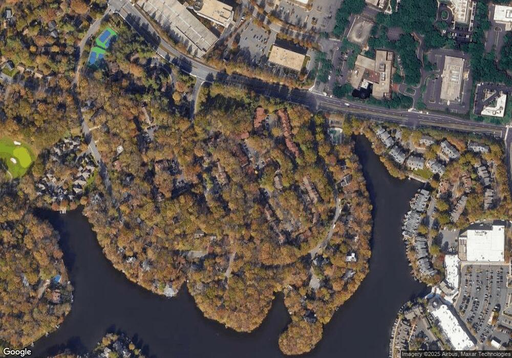
Map
Nearby Homes
- 2060 Headlands Cir
- 1933 Lakeport Way
- 11428 Purple Beech Dr
- 11110 Lakespray Way
- 1950 Weybridge Ln
- 1951 Sagewood Ln Unit 226
- 1951 Sagewood Ln Unit 315
- 2037 Wethersfield Ct
- 11184 Silentwood Ln
- 2029 Wethersfield Ct
- 2031 Beacon Place
- 2180 Whisperwood Glen Ln
- 2045 Winged Foot Ct
- 1820 Reston Row Plaza Unit 1604
- 11142 Beaver Trail Ct
- 11116 Beaver Trail Ct Unit 11116
- 2025 Winged Foot Ct
- 2152 Glencourse Ln
- 11604 Ivystone Ct Unit 6
- 2118 Green Watch Way Unit 10/201C
- 1930 Winterport Cluster
- 1930 Winterport Cluster
- 1928 Winterport Cluster
- 1928 Winterport Cluster
- 1926 Winterport Cluster
- 1924 Winterport Cluster
- 1946 Winterport Cluster
- 1946 Winterport Cluster
- 1922 Winterport Cluster
- 1922 Winterport Cluster
- 1948 Winterport Cluster
- 1950 Winterport Cluster
- 1920 Winterport Cluster
- 1952 Winterport Cluster
- 1952 Winterport Cluster
- 1952 Winterport Cluster
- 1944 Winterport Cluster
- 1944 Winterport Cluster
- 1944 Winterport Cluster
- 1932 Winterport Cluster