Estimated Value: $609,000 - $803,106
2
Beds
2
Baths
2,248
Sq Ft
$318/Sq Ft
Est. Value
About This Home
This home is located at 19300 SE Longstreet Ln, Sandy, OR 97055 and is currently estimated at $714,369, approximately $317 per square foot. 19300 SE Longstreet Ln is a home located in Clackamas County with nearby schools including Firwood Elementary School, Cedar Ridge Middle School, and Sandy High School.
Ownership History
Date
Name
Owned For
Owner Type
Purchase Details
Closed on
Dec 11, 2017
Sold by
Coca Anthony and Coca Shellie A
Bought by
Gabriel Susan M and Coca Anthony
Current Estimated Value
Purchase Details
Closed on
Aug 12, 1999
Sold by
Gabriel Robert P and Gabriel Susan M
Bought by
Gabriel Susan M
Home Financials for this Owner
Home Financials are based on the most recent Mortgage that was taken out on this home.
Original Mortgage
$175,000
Interest Rate
7.63%
Create a Home Valuation Report for This Property
The Home Valuation Report is an in-depth analysis detailing your home's value as well as a comparison with similar homes in the area
Home Values in the Area
Average Home Value in this Area
Purchase History
| Date | Buyer | Sale Price | Title Company |
|---|---|---|---|
| Gabriel Susan M | -- | None Available | |
| Gabriel Susan M | $91,285 | First American Title Co |
Source: Public Records
Mortgage History
| Date | Status | Borrower | Loan Amount |
|---|---|---|---|
| Closed | Gabriel Susan M | $175,000 |
Source: Public Records
Tax History Compared to Growth
Tax History
| Year | Tax Paid | Tax Assessment Tax Assessment Total Assessment is a certain percentage of the fair market value that is determined by local assessors to be the total taxable value of land and additions on the property. | Land | Improvement |
|---|---|---|---|---|
| 2025 | $4,416 | $318,696 | -- | -- |
| 2024 | $4,207 | $309,418 | -- | -- |
| 2023 | $4,207 | $300,407 | $0 | $0 |
| 2022 | $3,994 | $291,657 | $0 | $0 |
| 2021 | $3,853 | $283,159 | $0 | $0 |
| 2020 | $3,753 | $274,912 | $0 | $0 |
| 2019 | $3,496 | $249,370 | $0 | $0 |
| 2018 | $3,401 | $242,109 | $0 | $0 |
| 2017 | $3,324 | $235,054 | $0 | $0 |
| 2016 | $3,208 | $228,210 | $0 | $0 |
| 2015 | $3,119 | $221,560 | $0 | $0 |
| 2014 | $3,041 | $215,109 | $0 | $0 |
Source: Public Records
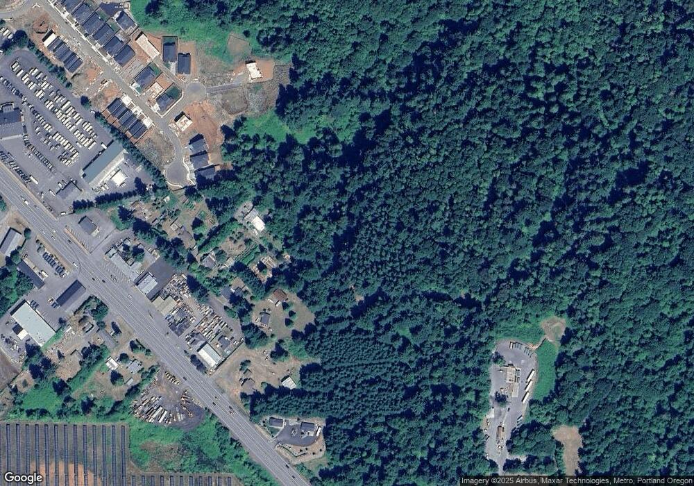
Map
Nearby Homes
- 42125 SE Luzon Ln
- 41900 Deschutes Ave Unit 81B
- The Brightwood Plan at Hoodview Heights
- The Rock Creek Plan at Hoodview Heights
- 41800 Deschutes Ave Unit 86A
- The Hoodland Plan at Hoodview Heights
- 19025 Ochoco Ct Unit 67
- 18855 Crooked River St Unit 41
- 18905 Crooked River St Unit 46
- 19005 Ochoco Ct Unit 65
- 41865 Deschutes Ave Unit 61
- 18935 Crooked River St Unit 49
- 41855 Deschutes Ave Unit 60
- The Cedar Creek Plan at Hoodview Heights
- 41820 Deschutes Ave Unit Lot 85B
- The Wildcat Plan at Hoodview Heights
- 19100 Ochoco Ct Unit Lot 70
- 41830 Deschutes Ave Unit 85A
- 41810 Deschutes Ave Unit 86B
- 18815 Crooked River St
- 19200 SE Longstreet Ln
- 42135 SE Lauzon Ln
- 42125 SE Lauzon Ln
- 42095 SE Luzon Ln
- 42141 SE Highway 26
- 42130 SE Lauzon Ln
- 42055 SE Lauzon Ln
- 41890 Deschutes Ave
- 41910 Deschutes Ave
- 41880 Deschutes Ave
- 42323 SE Highway 26
- 42025 SE Lauzon Ln
- 41900 Deschutes Ave Unit 81A
- 41900 Deschutes Ave
- 41785 Deschutes Ave
- 19015 Ochoco Ct
- 18855 Crooked River St
- 18935 Crooked River St
- 41855 Deschutes Ave
- 41925 Deschutes Ave