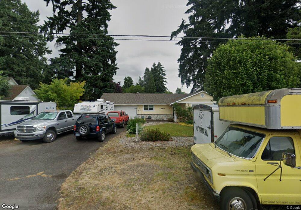
19306 SE Kay St Milwaukie, OR 97267
Estimated Value: $491,000 - $528,000
3
Beds
2
Baths
1,590
Sq Ft
$321/Sq Ft
Est. Value
About This Home
This home is located at 19306 SE Kay St, Milwaukie, OR 97267 and is currently estimated at $510,328, approximately $320 per square foot. 19306 SE Kay St is a home located in Clackamas County with nearby schools including Jennings Lodge Elementary School, Candy Lane Elementary School, and Gardiner Middle School.
Ownership History
Date
Name
Owned For
Owner Type
Purchase Details
Closed on
Jun 16, 2008
Sold by
Gash Kenneth A
Bought by
Gash Kenneth Allen and Gash Glenda A
Current Estimated Value
Home Financials for this Owner
Home Financials are based on the most recent Mortgage that was taken out on this home.
Original Mortgage
$189,000
Outstanding Balance
$120,691
Interest Rate
6.04%
Mortgage Type
Stand Alone Refi Refinance Of Original Loan
Estimated Equity
$389,637
Purchase Details
Closed on
Jan 23, 2004
Sold by
Dunsmuir George R and Dunsmuir Larlene M
Bought by
Gash Kenneth A
Home Financials for this Owner
Home Financials are based on the most recent Mortgage that was taken out on this home.
Original Mortgage
$156,000
Interest Rate
7.6%
Mortgage Type
Purchase Money Mortgage
Create a Home Valuation Report for This Property
The Home Valuation Report is an in-depth analysis detailing your home's value as well as a comparison with similar homes in the area
Home Values in the Area
Average Home Value in this Area
Purchase History
| Date | Buyer | Sale Price | Title Company |
|---|---|---|---|
| Gash Kenneth Allen | -- | Lawyers Title Ins | |
| Gash Kenneth A | $195,000 | Transnation Title Agency Of |
Source: Public Records
Mortgage History
| Date | Status | Borrower | Loan Amount |
|---|---|---|---|
| Open | Gash Kenneth Allen | $189,000 | |
| Closed | Gash Kenneth A | $156,000 |
Source: Public Records
Tax History Compared to Growth
Tax History
| Year | Tax Paid | Tax Assessment Tax Assessment Total Assessment is a certain percentage of the fair market value that is determined by local assessors to be the total taxable value of land and additions on the property. | Land | Improvement |
|---|---|---|---|---|
| 2025 | $4,426 | $254,733 | -- | -- |
| 2024 | $3,992 | $247,314 | -- | -- |
| 2023 | $3,992 | $240,111 | $0 | $0 |
| 2022 | $3,658 | $233,118 | $0 | $0 |
| 2021 | $3,504 | $226,329 | $0 | $0 |
| 2020 | $3,405 | $219,737 | $0 | $0 |
| 2019 | $3,337 | $213,337 | $0 | $0 |
| 2018 | $3,160 | $207,123 | $0 | $0 |
| 2017 | $3,080 | $201,090 | $0 | $0 |
| 2016 | $3,011 | $195,233 | $0 | $0 |
| 2015 | $2,933 | $189,547 | $0 | $0 |
| 2014 | $2,822 | $184,026 | $0 | $0 |
Source: Public Records
Map
Nearby Homes
- 19503 SE Kay St
- 19319 SE River Rd
- 19643 SE Jay St
- 19697 SE Cottonwood St
- 19575 River Rd Unit 53
- 18515 SE River Rd
- 19145 Addie St
- 19605 River Rd Unit 122
- 5227 SE Bandon Ln
- 441 W Gloucester St
- 700 Barton Ave Unit 1
- 5314 SE Jennings Ave
- 232 W Hereford St
- 5905 SE Angel Ln
- 0 0 Se Jennings Ave
- 17770 SE Cook St
- 115 E Jersey St
- 117 E Jersey St
- 5622 SE Jennings Ave
- 119 E Jersey St
- 19314 SE Kay St
- 4812 SE Meldrum Ave
- 19224 SE Kay St
- 4824 SE Meldrum Ave
- 4921 SE Britton Ave
- 19301 SE Kay St
- 19309 SE Kay St
- 4900 SE Meldrum Ave
- 19317 SE Kay St
- 4730 SE Meldrum Ave
- 4909 SE Britton Ave
- 4951 SE Britton Ave
- 19325 SE Kay St
- 4823 SE Meldrum Ave
- 4904 SE Meldrum Ave
- 4815 SE Meldrum Ave
- 4981 SE Britton Ave
- 4803 SE Meldrum Ave
- 4795 SE Meldrum Ave
- 4908 SE Meldrum Ave