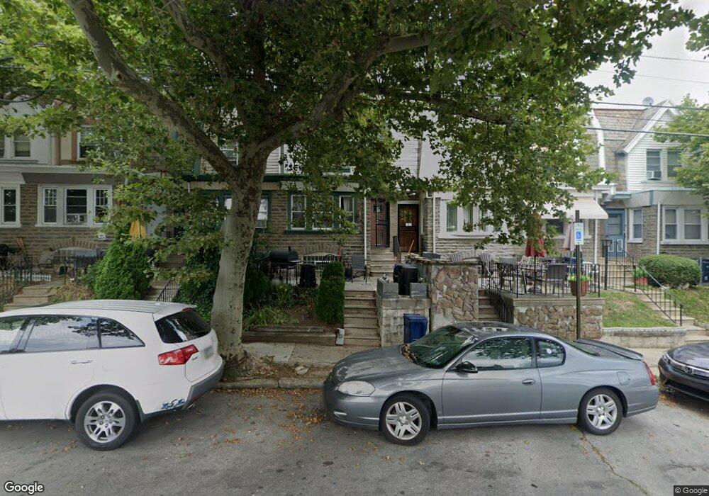
1931 72nd Ave Philadelphia, PA 19138
West Oak Lane NeighborhoodEstimated Value: $189,000 - $242,000
4
Beds
2
Baths
1,400
Sq Ft
$157/Sq Ft
Est. Value
About This Home
This home is located at 1931 72nd Ave, Philadelphia, PA 19138 and is currently estimated at $219,122, approximately $156 per square foot. 1931 72nd Ave is a home located in Philadelphia County with nearby schools including William Rowen School, Gen. Louis Wagner Middle School, and Martin Luther King High School.
Ownership History
Date
Name
Owned For
Owner Type
Purchase Details
Closed on
Aug 22, 2008
Sold by
Colquitt Christopher
Bought by
Robinson Orben and Robinson Kendra
Current Estimated Value
Home Financials for this Owner
Home Financials are based on the most recent Mortgage that was taken out on this home.
Original Mortgage
$139,215
Outstanding Balance
$92,970
Interest Rate
6.69%
Mortgage Type
FHA
Estimated Equity
$126,152
Purchase Details
Closed on
Jan 4, 2008
Sold by
Equicredit Corp Of America
Bought by
Colquitt Christopher
Purchase Details
Closed on
Nov 13, 2007
Sold by
Rice Kathryn M and Rice Tara D
Bought by
The Bank Of New York and Holders Of Eqcc Asset Backed Certificate
Create a Home Valuation Report for This Property
The Home Valuation Report is an in-depth analysis detailing your home's value as well as a comparison with similar homes in the area
Home Values in the Area
Average Home Value in this Area
Purchase History
| Date | Buyer | Sale Price | Title Company |
|---|---|---|---|
| Robinson Orben | $141,400 | None Available | |
| Colquitt Christopher | $60,000 | None Available | |
| The Bank Of New York | $6,700 | None Available |
Source: Public Records
Mortgage History
| Date | Status | Borrower | Loan Amount |
|---|---|---|---|
| Open | Robinson Orben | $139,215 |
Source: Public Records
Tax History Compared to Growth
Tax History
| Year | Tax Paid | Tax Assessment Tax Assessment Total Assessment is a certain percentage of the fair market value that is determined by local assessors to be the total taxable value of land and additions on the property. | Land | Improvement |
|---|---|---|---|---|
| 2025 | $2,149 | $184,100 | $36,820 | $147,280 |
| 2024 | $2,149 | $184,100 | $36,820 | $147,280 |
| 2023 | $2,149 | $153,500 | $30,700 | $122,800 |
| 2022 | $953 | $108,500 | $30,700 | $77,800 |
| 2021 | $1,583 | $0 | $0 | $0 |
| 2020 | $1,583 | $0 | $0 | $0 |
| 2019 | $1,653 | $0 | $0 | $0 |
| 2018 | $1,009 | $0 | $0 | $0 |
| 2017 | $1,429 | $0 | $0 | $0 |
| 2016 | $1,009 | $0 | $0 | $0 |
| 2015 | $966 | $0 | $0 | $0 |
| 2014 | -- | $102,100 | $7,035 | $95,065 |
| 2012 | -- | $12,384 | $2,061 | $10,323 |
Source: Public Records
Map
Nearby Homes
- 1911 72nd Ave
- 1901A 72nd Ave
- 7188 N Uber St
- 1847 Plymouth St
- 7159 N 20th St
- 7153 N 19th St
- 1975 73rd Ave
- 1996 73rd Ave
- 1979 73rd Ave
- 1825 Dallas St
- 1837 73rd Ave
- 1810 72nd Ave
- 1815 Elston St
- 6943 N 19th St
- 1980 Penfield St
- 1947 Penfield St
- 1936 74th Ave
- 1815 Penfield St
- 7316 Pittville Ave
- 7092 Forrest Ave
- 1929 72nd Ave
- 1933 72nd Ave
- 1927 Elston St
- 1927 72nd Ave
- 1935 72nd Ave
- 1925 72nd Ave
- 1937 72nd Ave
- 1923 72nd Ave
- 1939 72nd Ave
- 1934 Plymouth St
- 1936 Plymouth St
- 1921 72nd Ave
- 1932 Plymouth St
- 1941 72nd Ave
- 1930 Plymouth St
- 1938 Plymouth St
- 1928 Plymouth St
- 1940 Plymouth St
- 1919 72nd Ave
- 1943 72nd Ave