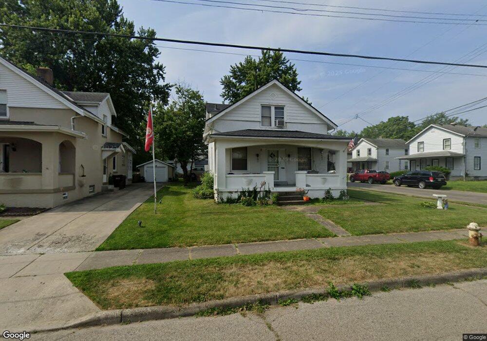
1931 Bising Ave Cincinnati, OH 45239
Estimated Value: $133,000 - $157,000
2
Beds
2
Baths
1,172
Sq Ft
$122/Sq Ft
Est. Value
About This Home
This home is located at 1931 Bising Ave, Cincinnati, OH 45239 and is currently estimated at $143,186, approximately $122 per square foot. 1931 Bising Ave is a home located in Hamilton County with nearby schools including North College Hill Elementary School, North College Hill Middle School, and North College Hill High School.
Ownership History
Date
Name
Owned For
Owner Type
Purchase Details
Closed on
Oct 17, 2017
Sold by
Hickman John J and Hickman Marice
Bought by
Douglas Carl
Current Estimated Value
Home Financials for this Owner
Home Financials are based on the most recent Mortgage that was taken out on this home.
Original Mortgage
$47,130
Outstanding Balance
$40,325
Interest Rate
5.12%
Mortgage Type
FHA
Estimated Equity
$102,861
Create a Home Valuation Report for This Property
The Home Valuation Report is an in-depth analysis detailing your home's value as well as a comparison with similar homes in the area
Home Values in the Area
Average Home Value in this Area
Purchase History
| Date | Buyer | Sale Price | Title Company |
|---|---|---|---|
| Douglas Carl | $48,000 | None Available |
Source: Public Records
Mortgage History
| Date | Status | Borrower | Loan Amount |
|---|---|---|---|
| Open | Douglas Carl | $47,130 |
Source: Public Records
Tax History
| Year | Tax Paid | Tax Assessment Tax Assessment Total Assessment is a certain percentage of the fair market value that is determined by local assessors to be the total taxable value of land and additions on the property. | Land | Improvement |
|---|---|---|---|---|
| 2025 | $2,179 | $41,934 | $6,577 | $35,357 |
| 2024 | $2,128 | $41,934 | $6,577 | $35,357 |
| 2023 | $2,145 | $41,934 | $6,577 | $35,357 |
| 2022 | $1,205 | $16,800 | $6,559 | $10,241 |
| 2021 | $1,182 | $16,800 | $6,559 | $10,241 |
| 2020 | $1,035 | $16,800 | $6,559 | $10,241 |
| 2019 | $1,706 | $24,773 | $5,754 | $19,019 |
| 2018 | $1,707 | $24,773 | $5,754 | $19,019 |
| 2017 | $1,616 | $24,773 | $5,754 | $19,019 |
| 2016 | $1,092 | $17,791 | $5,884 | $11,907 |
| 2015 | $1,093 | $17,791 | $5,884 | $11,907 |
| 2014 | $1,092 | $17,791 | $5,884 | $11,907 |
| 2013 | $1,151 | $19,338 | $6,395 | $12,943 |
Source: Public Records
Map
Nearby Homes
- 6948 Mulberry St
- 7010 Noble Ct
- 6942 Gloria Dr
- 2048 W Galbraith Rd
- 6822 Betts Ave
- 1814 Goodman Ave
- 6715 Betts Ave
- 2033 Sundale Ave
- 1626 Flora Ave
- 6623 Betts Ave
- 1701 Goodman Ave
- 1913 Sterling Ave
- 1826 Sterling Ave
- 1938 Waltham Ave
- 1625 Joseph Ct
- 1806 Sterling Ave
- 1811 Sterling Ave
- 1541 Southridge Ln
- 2030 Emerson Ave
- 8729 Morningstar Ln
- 1929 Bising Ave
- 1927 Bising Ave
- 6956 Mulberry St
- 7000 Mulberry St
- 6959 Mulberry St
- 6961 Mulberry St
- 6957 Mulberry St
- 6954 Mulberry St
- 1925 Bising Ave
- 6955 Mulberry St
- 6955 Mulberry St Unit 2
- 6955 Mulberry St Unit 1
- 1926 Bising Ave
- 6959 Noble Ave
- 7001 Mulberry St
- 6953 Mulberry St
- 1921 Bising Ave
- 6950 Mulberry St
- 1924 Bising Ave
- 6953 Noble Ave
Your Personal Tour Guide
Ask me questions while you tour the home.