1931 Bradway Rd North Pole, AK 99705
Badger NeighborhoodEstimated Value: $107,000 - $262,000
2
Beds
1
Bath
980
Sq Ft
$188/Sq Ft
Est. Value
About This Home
This home is located at 1931 Bradway Rd, North Pole, AK 99705 and is currently estimated at $184,500, approximately $188 per square foot. 1931 Bradway Rd is a home located in Fairbanks North Star Borough with nearby schools including Ticasuk Brown Elementary School, North Pole Middle School, and North Pole High School.
Ownership History
Date
Name
Owned For
Owner Type
Purchase Details
Closed on
Jun 3, 2025
Sold by
Pinkaew Vichien
Bought by
Carothers Elaine Rochelle
Current Estimated Value
Home Financials for this Owner
Home Financials are based on the most recent Mortgage that was taken out on this home.
Original Mortgage
$35,900
Outstanding Balance
$33,180
Interest Rate
6.81%
Mortgage Type
Seller Take Back
Estimated Equity
$151,320
Create a Home Valuation Report for This Property
The Home Valuation Report is an in-depth analysis detailing your home's value as well as a comparison with similar homes in the area
Home Values in the Area
Average Home Value in this Area
Purchase History
| Date | Buyer | Sale Price | Title Company |
|---|---|---|---|
| Carothers Elaine Rochelle | -- | Stc (Stewart Title Company) |
Source: Public Records
Mortgage History
| Date | Status | Borrower | Loan Amount |
|---|---|---|---|
| Open | Carothers Elaine Rochelle | $35,900 |
Source: Public Records
Tax History Compared to Growth
Tax History
| Year | Tax Paid | Tax Assessment Tax Assessment Total Assessment is a certain percentage of the fair market value that is determined by local assessors to be the total taxable value of land and additions on the property. | Land | Improvement |
|---|---|---|---|---|
| 2025 | $587 | $41,226 | $14,979 | $26,247 |
| 2024 | $575 | $40,552 | $14,979 | $25,573 |
| 2023 | $567 | $40,552 | $14,979 | $25,573 |
| 2022 | $635 | $40,200 | $14,979 | $25,221 |
| 2021 | $710 | $40,515 | $14,979 | $25,536 |
| 2020 | $714 | $40,396 | $14,979 | $25,417 |
| 2019 | $696 | $39,621 | $14,979 | $24,642 |
| 2018 | $667 | $40,666 | $14,979 | $25,687 |
| 2017 | $640 | $41,890 | $14,979 | $26,911 |
| 2016 | $597 | $40,427 | $14,979 | $25,448 |
| 2015 | $577 | $40,427 | $14,979 | $25,448 |
| 2014 | $577 | $40,427 | $14,979 | $25,448 |
Source: Public Records
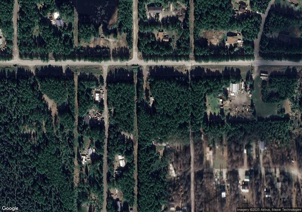
Map
Nearby Homes
- 1405 Milo St
- 1950 William Douglas Ct
- 1393 Hite St
- 1410 Hite St
- 1961 Bradway Rd
- 1375 Toolik Dr
- 1375 Carat Loop
- 1411 Hite St
- 1960 William Douglas Ct
- 1356 Toolik Dr
- 1945 William Douglas Ct
- 1425 Milo St
- 1428 Hite St
- 1363 Carat Loop
- 1955 William Douglas Ct
- 1970 William Douglas Ct
- 1366 Atigun St
- 1370 Carat Loop
- 1963 William Douglas Ct
- 1349 Toolik Dr