1931 Brookside Cir Lansdale, PA 19446
Estimated Value: $595,000 - $660,000
4
Beds
3
Baths
2,038
Sq Ft
$305/Sq Ft
Est. Value
About This Home
This home is located at 1931 Brookside Cir, Lansdale, PA 19446 and is currently estimated at $621,538, approximately $304 per square foot. 1931 Brookside Cir is a home located in Montgomery County with nearby schools including General Nash El School, Pennfield Middle School, and North Penn Senior High School.
Ownership History
Date
Name
Owned For
Owner Type
Purchase Details
Closed on
Jul 26, 2010
Sold by
Dagostino Nicholas
Bought by
Dagostino Nicholas and Dagostino Samantha
Current Estimated Value
Home Financials for this Owner
Home Financials are based on the most recent Mortgage that was taken out on this home.
Original Mortgage
$210,000
Outstanding Balance
$140,158
Interest Rate
4.73%
Estimated Equity
$481,380
Purchase Details
Closed on
Jul 23, 2009
Sold by
Dagostino Nicholas
Bought by
Dagostino Nicholas
Home Financials for this Owner
Home Financials are based on the most recent Mortgage that was taken out on this home.
Original Mortgage
$450,000
Outstanding Balance
$296,078
Interest Rate
5.47%
Estimated Equity
$325,460
Purchase Details
Closed on
Aug 18, 2008
Sold by
Sommer Lisa S and Sommer Richard M
Bought by
Dagostino Nicholas
Home Financials for this Owner
Home Financials are based on the most recent Mortgage that was taken out on this home.
Original Mortgage
$160,000
Interest Rate
6.29%
Purchase Details
Closed on
Apr 4, 2005
Sold by
Not Provided
Bought by
Not Provided
Home Financials for this Owner
Home Financials are based on the most recent Mortgage that was taken out on this home.
Original Mortgage
$247,200
Interest Rate
5.61%
Mortgage Type
New Conventional
Purchase Details
Closed on
Mar 18, 2005
Sold by
Not Provided
Bought by
Not Provided
Home Financials for this Owner
Home Financials are based on the most recent Mortgage that was taken out on this home.
Original Mortgage
$247,200
Interest Rate
5.61%
Mortgage Type
New Conventional
Purchase Details
Closed on
Jun 15, 2001
Sold by
Thacker William R and Thacker Karen S
Bought by
Mangum Glenn B L and Mangum Ursela
Purchase Details
Closed on
May 25, 1996
Sold by
Thacker William R and Thacker Karen S
Bought by
Thacker William R and Thacker Karen S
Purchase Details
Closed on
Apr 30, 1996
Sold by
Eastman William T and Eastman Kathleen M
Bought by
Thacker William R and Maybin Karen S
Create a Home Valuation Report for This Property
The Home Valuation Report is an in-depth analysis detailing your home's value as well as a comparison with similar homes in the area
Home Values in the Area
Average Home Value in this Area
Purchase History
| Date | Buyer | Sale Price | Title Company |
|---|---|---|---|
| Dagostino Nicholas | -- | None Available | |
| Dagostino Nicholas | -- | None Available | |
| Dagostino Nicholas | $350,900 | None Available | |
| Not Provided | $309,000 | -- | |
| Not Provided | $309,000 | -- | |
| Mangum Glenn B L | $217,000 | -- | |
| Thacker William R | -- | -- | |
| Thacker William R | $169,000 | -- |
Source: Public Records
Mortgage History
| Date | Status | Borrower | Loan Amount |
|---|---|---|---|
| Open | Dagostino Nicholas | $210,000 | |
| Open | Dagostino Nicholas | $450,000 | |
| Closed | Dagostino Nicholas | $160,000 | |
| Previous Owner | Not Provided | $247,200 | |
| Previous Owner | Not Provided | $247,200 |
Source: Public Records
Tax History Compared to Growth
Tax History
| Year | Tax Paid | Tax Assessment Tax Assessment Total Assessment is a certain percentage of the fair market value that is determined by local assessors to be the total taxable value of land and additions on the property. | Land | Improvement |
|---|---|---|---|---|
| 2025 | $8,302 | $204,990 | -- | -- |
| 2024 | $8,302 | $204,990 | -- | -- |
| 2023 | $7,951 | $204,990 | $0 | $0 |
| 2022 | $7,463 | $204,990 | $0 | $0 |
| 2021 | $7,247 | $204,990 | $0 | $0 |
| 2020 | $6,919 | $204,990 | $0 | $0 |
| 2019 | $6,799 | $204,990 | $0 | $0 |
| 2018 | $1,398 | $204,990 | $0 | $0 |
| 2017 | $6,528 | $204,990 | $0 | $0 |
| 2016 | $6,449 | $204,990 | $0 | $0 |
| 2015 | $6,179 | $204,990 | $0 | $0 |
| 2014 | $6,179 | $204,990 | $0 | $0 |
Source: Public Records
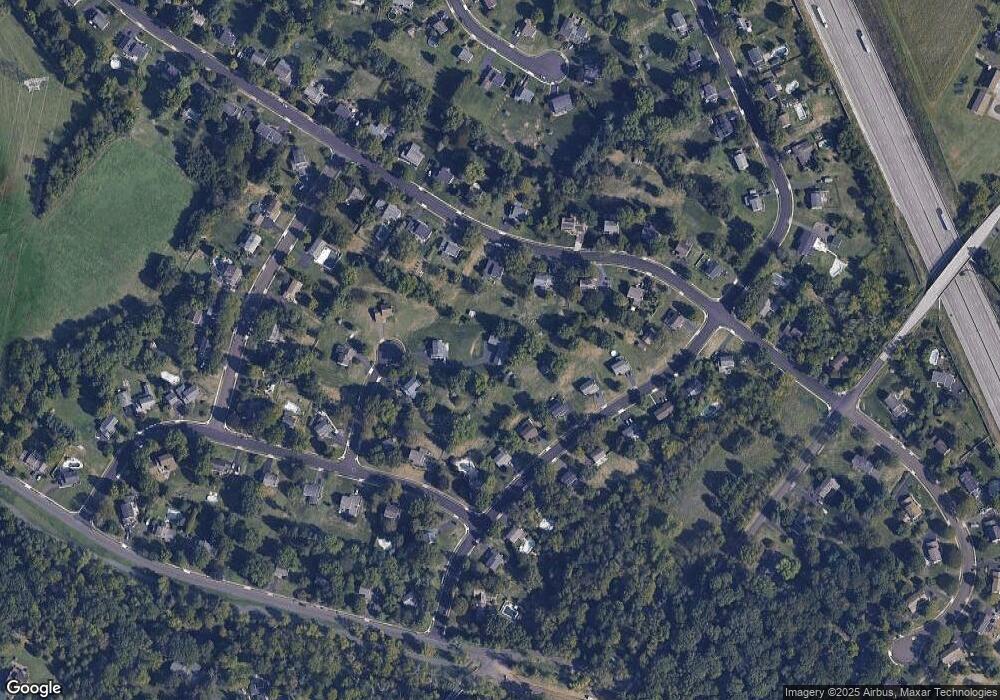
Map
Nearby Homes
- 1808 Beth Ln
- 2015 Creek Way
- 1653 Bridle Path Dr
- 1040 Hunter Hill Dr
- 172 Oberlin Terrace
- 2234 Locust Dr
- 144 Oberlin Terrace Unit 15-B
- 177 Oberlin Terrace Unit 18-L
- 210 Berwick Place Unit 20E
- 2272 Locust Dr
- 1381 Village Way
- 109 Durham Ct
- 103 Newport Ct
- 111 Newport Ct
- 980 Jacks Ln
- 108 Hickory Ct
- 1627 Clearbrook Rd
- 911 Tricorn Dr
- 578 Harrington Ct
- 1959 Supplee Rd
- 2030 Pheasant Hill Rd
- 2036 Pheasant Hill Rd
- 1938 Rampart Ln
- 1941 Brookside Cir
- 1930 Rampart Ln
- 1946 Rampart Ln
- 1922 Rampart Ln
- 2024 Pheasant Hill Rd
- 2042 Pheasant Hill Rd
- 2035 Parkview Dr
- 1934 Brookside Cir
- 1954 Rampart Ln
- 2048 Pheasant Hill Rd
- 2043 Parkview Dr
- 2018 Pheasant Hill Rd
- 2045 Pheasant Hill Rd
- 2039 Pheasant Hill Rd
- 1933 Rampart Ln
- 1944 Brookside Cir
- 1941 Rampart Ln