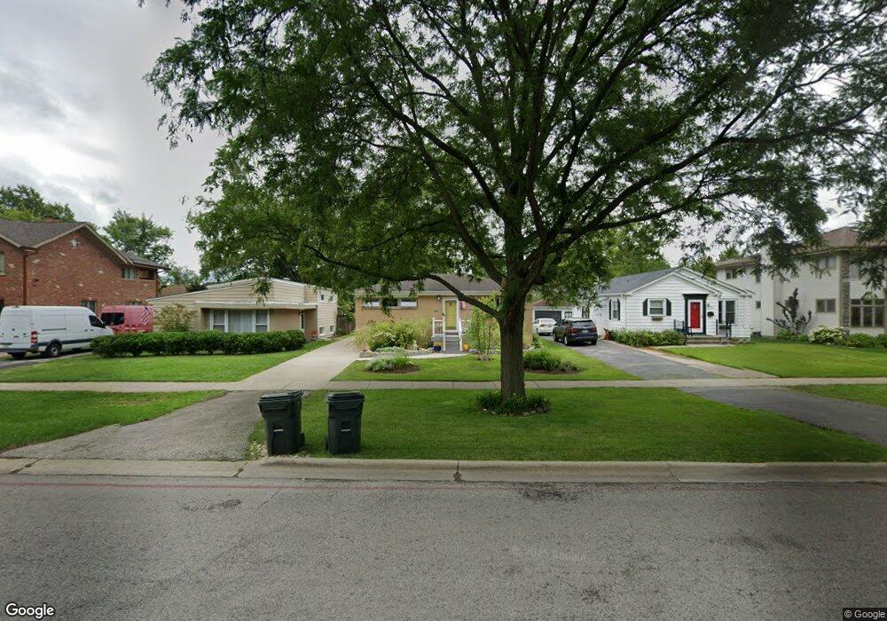
1931 Central Rd Glenview, IL 60025
Estimated Value: $385,000 - $477,613
2
Beds
1
Bath
957
Sq Ft
$471/Sq Ft
Est. Value
About This Home
This home is located at 1931 Central Rd, Glenview, IL 60025 and is currently estimated at $450,903, approximately $471 per square foot. 1931 Central Rd is a home located in Cook County with nearby schools including Hoffman Elementary School, Henking Elementary School, and Springman Middle School.
Ownership History
Date
Name
Owned For
Owner Type
Purchase Details
Closed on
May 6, 2016
Sold by
Bernardin Raymond L
Bought by
Bernardin Raymond L and Raymond L Bernardin Living Trust
Current Estimated Value
Purchase Details
Closed on
May 5, 1994
Sold by
Jung Maureen F and Ogara Maureen F
Bought by
Bernardin Raymond L
Home Financials for this Owner
Home Financials are based on the most recent Mortgage that was taken out on this home.
Original Mortgage
$50,100
Interest Rate
8.34%
Create a Home Valuation Report for This Property
The Home Valuation Report is an in-depth analysis detailing your home's value as well as a comparison with similar homes in the area
Home Values in the Area
Average Home Value in this Area
Purchase History
| Date | Buyer | Sale Price | Title Company |
|---|---|---|---|
| Bernardin Raymond L | -- | Attorney | |
| Bernardin Raymond L | -- | -- |
Source: Public Records
Mortgage History
| Date | Status | Borrower | Loan Amount |
|---|---|---|---|
| Closed | Bernardin Raymond L | $50,100 |
Source: Public Records
Tax History
| Year | Tax Paid | Tax Assessment Tax Assessment Total Assessment is a certain percentage of the fair market value that is determined by local assessors to be the total taxable value of land and additions on the property. | Land | Improvement |
|---|---|---|---|---|
| 2025 | $4,684 | $37,000 | $9,125 | $27,875 |
| 2024 | $4,684 | $27,017 | $7,665 | $19,352 |
| 2023 | $4,513 | $27,017 | $7,665 | $19,352 |
| 2022 | $4,513 | $27,017 | $7,665 | $19,352 |
| 2021 | $4,463 | $23,796 | $6,570 | $17,226 |
| 2020 | $4,816 | $25,172 | $6,570 | $18,602 |
| 2019 | $5,367 | $31,864 | $6,570 | $25,294 |
| 2018 | $3,073 | $19,428 | $5,657 | $13,771 |
| 2017 | $2,877 | $19,428 | $5,657 | $13,771 |
| 2016 | $3,825 | $22,098 | $5,657 | $16,441 |
| 2015 | $3,747 | $20,009 | $4,745 | $15,264 |
| 2014 | $3,698 | $20,009 | $4,745 | $15,264 |
| 2013 | $3,562 | $20,009 | $4,745 | $15,264 |
Source: Public Records
Map
Nearby Homes
- 315 Lincoln St
- 1735 Longvalley Rd
- 517 Briarhill Ln
- 245 Nora Ave
- 609 Carriage Hill Dr
- 711 Carriage Hill Dr
- 1800 Dewes St Unit 202
- 1800 Dewes St Unit 201
- 2301 Malik Ct
- 38 Washington St
- 1123 Longvalley Rd
- 1121 Longvalley Rd
- 1220 Depot St Unit 305
- 1220 Depot St Unit 109
- 1220 Depot St Unit 409
- 137 Julie Dr
- 7418 Wilson Terrace
- 216 Flora Ave
- 7434 Emerson St
- 2700 Fontana Dr
- 1935 Central Rd
- 1927 Central Rd
- 1939 Central Rd
- 1923 Central Rd
- 1930 George Ct
- 1926 George Ct
- 1919 Central Rd
- 1943 Central Rd
- 1922 George Ct
- 1918 George Ct
- 1915 Central Rd
- 1934 George Ct
- 1938 Central Rd
- 1934 Central Rd
- 1914 George Ct
- 1942 Central Rd
- 1909 Central Rd
- 1928 Central Rd
- 1948 Central Rd
- 510 Washington St