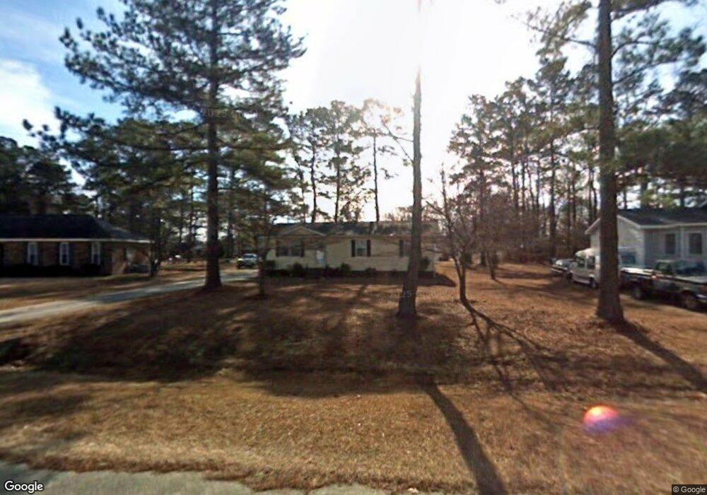
1931 Christian Ln Kinston, NC 28504
Estimated Value: $126,000 - $162,000
3
Beds
2
Baths
1,056
Sq Ft
$133/Sq Ft
Est. Value
About This Home
This home is located at 1931 Christian Ln, Kinston, NC 28504 and is currently estimated at $140,329, approximately $132 per square foot. 1931 Christian Ln is a home located in Lenoir County with nearby schools including Banks Elementary School, E.B. Frink Middle School, and North Lenoir High School.
Ownership History
Date
Name
Owned For
Owner Type
Purchase Details
Closed on
Apr 18, 2023
Sold by
Melton Charles Keith and Melton Angela Dawn
Bought by
Skinner Donald Hardy and Skinner Steve Hardy
Current Estimated Value
Purchase Details
Closed on
May 4, 2021
Sold by
Melton Gloria Jean Pope
Bought by
Melton Gloria Jean Pope and Melton Charles Keith
Purchase Details
Closed on
Jun 8, 2017
Sold by
Melton Gloria P
Bought by
Melton Charles Keith and Melton Larry Dean
Create a Home Valuation Report for This Property
The Home Valuation Report is an in-depth analysis detailing your home's value as well as a comparison with similar homes in the area
Home Values in the Area
Average Home Value in this Area
Purchase History
| Date | Buyer | Sale Price | Title Company |
|---|---|---|---|
| Skinner Donald Hardy | $105,000 | None Listed On Document | |
| Melton Gloria Jean Pope | $1,000 | None Available | |
| Melton Gloria Jean Pope | -- | None Available | |
| Melton Charles Keith | -- | None Available |
Source: Public Records
Tax History Compared to Growth
Tax History
| Year | Tax Paid | Tax Assessment Tax Assessment Total Assessment is a certain percentage of the fair market value that is determined by local assessors to be the total taxable value of land and additions on the property. | Land | Improvement |
|---|---|---|---|---|
| 2025 | $856 | $118,162 | $10,665 | $107,497 |
| 2024 | $569 | $63,073 | $12,500 | $50,573 |
| 2023 | $397 | $63,073 | $12,500 | $50,573 |
| 2022 | $397 | $63,073 | $12,500 | $50,573 |
| 2021 | $351 | $63,073 | $12,500 | $50,573 |
| 2020 | $396 | $63,073 | $12,500 | $50,573 |
| 2019 | $375 | $63,073 | $12,500 | $50,573 |
| 2018 | $370 | $63,073 | $12,500 | $50,573 |
| 2017 | $647 | $63,073 | $12,500 | $50,573 |
| 2014 | $510 | $71,186 | $12,500 | $58,686 |
| 2013 | -- | $71,186 | $12,500 | $58,686 |
| 2011 | -- | $71,186 | $12,500 | $58,686 |
Source: Public Records
Map
Nearby Homes
- 0 Hwy 258 N Unit LotWP001 22409279
- 1957 Country Squire Rd
- 58 Old English Ln
- 2100 Hwy 258 N
- 2443 Creekside Rd
- Lot 2 Branchwood Dr
- 3178 Alton Phillips Rd
- 2193 Dogwood Ln
- 2321 Fred Everett Rd
- 3100 Wheat Swamp Rd
- 2277 Hull Rd
- 2445 Tammy Dr
- 3807 Random Rd
- 1846 Crestview St
- 2886 Fox Run Cir
- 1955 Banks School Rd
- 2912 Fox Run Cir
- 1535 Memory Ln
- 3128 Kelly Rd
- 2544 Dogwood Ln
- 1939 Christian Ln
- 1923 Christian Ln
- 1917 Christian Ln
- 1926 Christian Ln
- 1938 Christian Ln
- 3454 Dobbs Farm Rd
- 2232 Trinity Club Dr
- 1909 Christian Ln
- 1957 Christian Ln
- 3410 Dobbs Farm Rd
- 1956 Christian Ln
- 3462 Dobbs Farm Rd
- 2244 Trinity Club Dr
- 1948 Christian Ln
- 3400 Dobbs Farm Rd
- 1967 Christian Ln
- 2260 Trinity Club Dr
- 3447 Dobbs Farm Rd
- 3437 Dobbs Farm Rd
- 2202 Trinity Club Dr